-
 Wood & Ortlepp, "Briton or Boer" Special Map of the Boer Republics, 1900£ 850.00
 -
The Times, The Times Map of British South Africa, the Transvaal and Orange Free State, 1900 c.£ 695.00
-
Dr. G.A.F Molengraff, Geological Sketchmap of the Transvaal, 1902£ 825.00
-
George Philip & Son Ltd., The Daily Mail Map of the Boer Republics, 1902 c.£ 445.00
-
Edward Weller, Map of the Orange River Colony, 1904£ 195.00
-
Weller & Grahams Ltd., Map of the Transvaal Colony, 1906£ 245.00
-
Royal Geographical Society (RGS), Map to Illustrate the Physical Features of the Transvaal, 1906£ 145.00
-
Royal Geographical Society (RGS), South Africa showing Railways, 1910£ 135.00
-
Royal Geographical Society (RGS), South West Africa, 1910£ 285.00
-
George Philip & Son Ltd., Cape Colony & The Diamond Fields, 1910 c.£ 125.00
-
G. & J. Bartholomew, Central and South Africa, 1910 c.£ 495.00
-
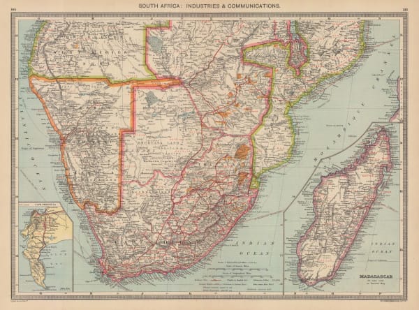
George Philip & Son Ltd., South Africa: Industries & Communications, 1910 c.£ 185.00
-
Walter Boldero Paton, Map of the Union of South Africa, 1912£ 295.00
-
George Philip & Son Ltd., Part of Orange Free State Province, 1914£ 48.00
-
S. Africa Newspaper, Central and South Africa, 1916£ 975.00
-
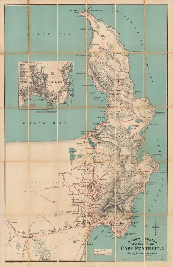
George W. Bacon, New Map of the Cape Peninsula, 1918 c.£ 925.00
-
J.C. Juta & Co., Plan of Cape Town, 1919£ 1,950.00
-
A. C. Braby, Map of Natal and Zululand, 1920 c£ 650.00
-
Johannesburg Publicity Association, Tourist Map of Johannesburg, 1950 c.£ 395.00


Page
2
of 2