John Wallis
44 x 88 cm
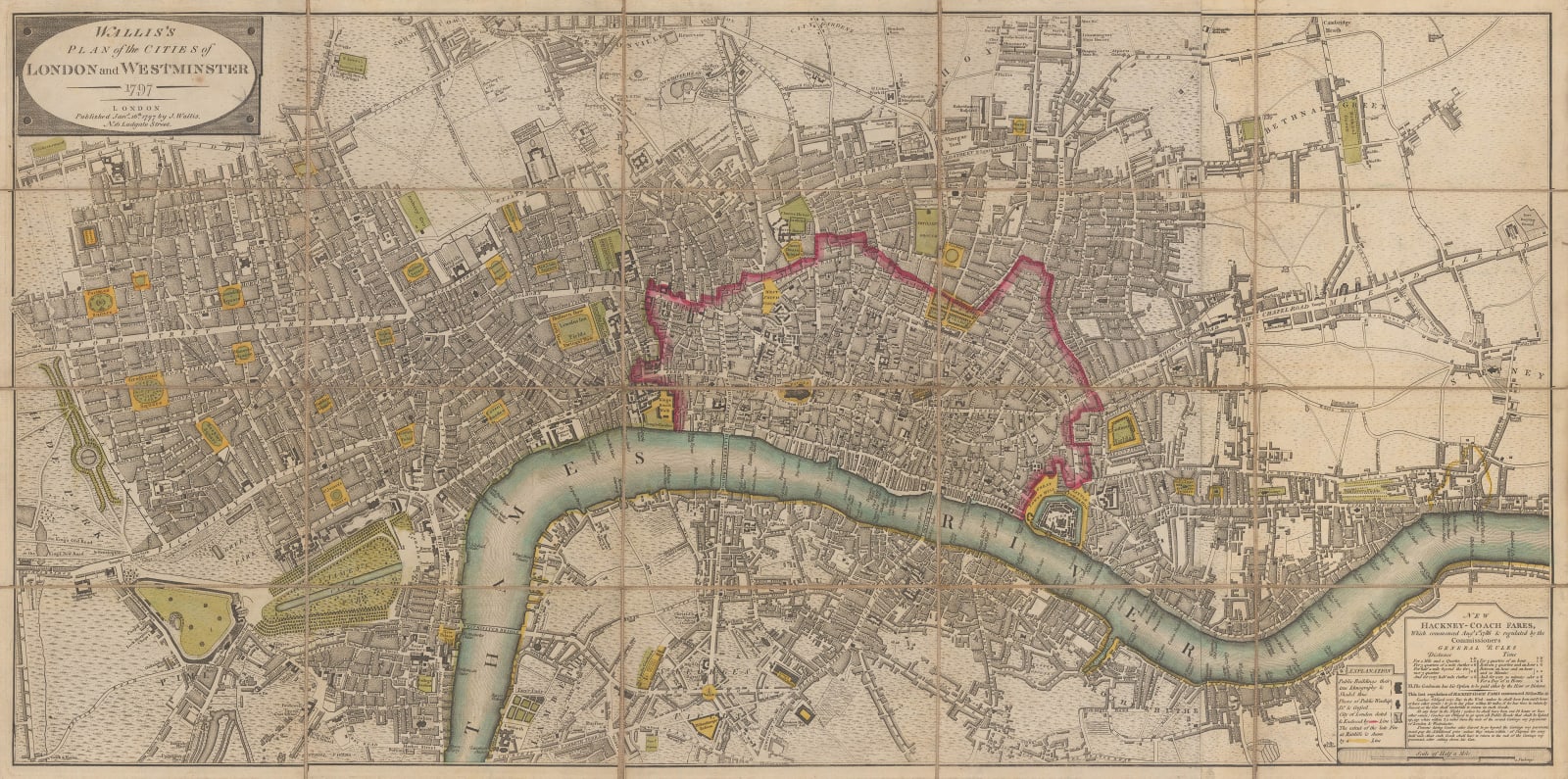
This map shows how small the city still was at the turn of the 19th century. The northern limit of the city at this time was the 'New Road', today's Euston and Pentonville Roads, which was built to ease traffic congestion in central London - essentially an 18th century precursor to the M25.
The east-west extent is from the edge of Hyde Park to Limehouse. Much of East London is still undeveloped fields and Bethnal Green is essentially a separate village. A yellow line outlines the area of Limehouse destroyed by the Ratcliffe Fire of 1794, London's worst fire between the Great Fire of 1666 and the Blitz. Hundreds of warehouses, homes, timber yards, and docks were destroyed and 1,400 residents were displaced. The fire was fuelled by a lethal combination of pitch, saltpetre, and sugar which resulted in an enormous explosion and embers raining down from the sky.
Original hand-colour. [LDN7579]


