-

-
Robert Morden, New Mexico vel New Granata et Marata et California, 1688£ 1,650.00
-
Nicolas de Fer, De Californie et du Nouveau Mexique, 1700£ 2,350.00
-
Heinrich Scherer, Delineatio Nova Et Vera Partis Australis Novi Mexici, 1700 c.£ 985.00
-
-
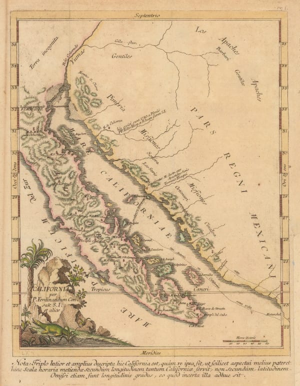
Eusebio Francisco Kino, Tabula Californiae, 1726£ 3,750.00
-
-
Isaac Tirion, Kaart van het Westelyk Gedeelte van Nieuw Mexico en van California, 1765£ 1,450.00
-
Miguel Venegas, Carte de la Californie, 1767£ 1,575.00
-
Robert de Vaugondy, Carte de la Californie, 1772£ 1,150.00
-
Robert de Vaugondy, Carte de la Californie, 1772£ 695.00
-
Johann Jakob Baegert, California, 1773£ 1,150.00
-
Antonio Zatta, Alaska, the Pacific Northwest, and the Bering Strait, 1776£ 1,250.00
-
Eusebio Francisco Kino, Passage Par Terre a La Californie, 1785 c.£ 885.00
-
Jean Francois de La Perouse, Plan du Port de St. Diego, 1787£ 885.00
-
Jean Francois de La Perouse, Carte Generale D'Une Partie De La Cote Du Nord-Ouest De L'Amerique, 1797£ 675.00
-
Jean Francois de La Perouse, Plan du Port de St. Francois, 1797£ 1,650.00
-
Daniel Friedrich Sotzmann, Karte von einem Theil der Nordwestlichen Kuste von America, 1800£ 795.00
-
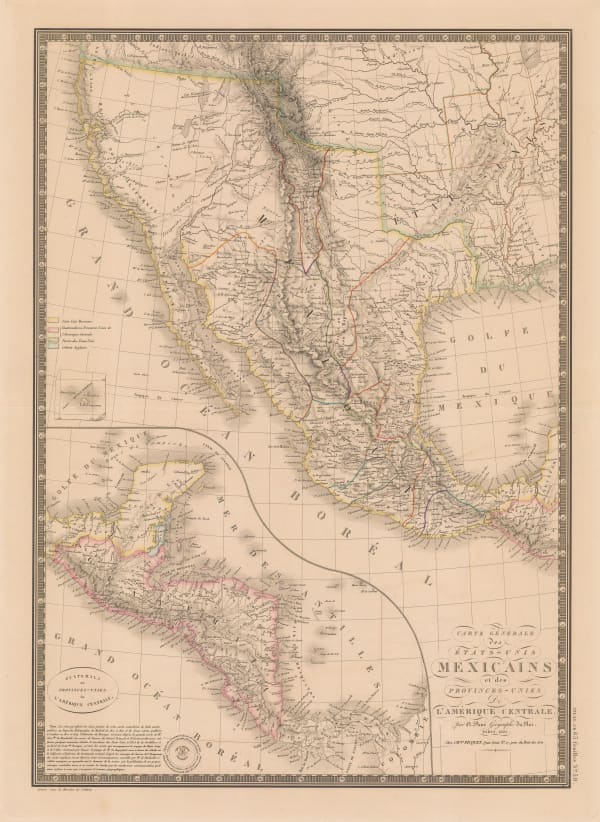
Adrien Brue, Carte Generale des Etats-Unis Mexicains et des Provinces-Unies de L'Amerique Centrale, 1825£ 375.00
-
Philippe Vandermaelen, Nouvelle Californie, 1825£ 1,550.00
-
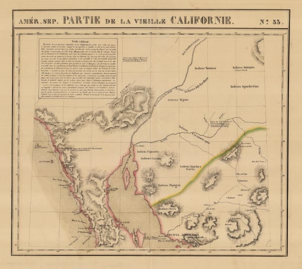
Philippe Vandermaelen, Southern California, Baja, Sonora & Arizona, 1827£ 750.00
-
Henry Teesdale, Mexico and Guatimala, 1835 c.£ 545.00
-
Henry Teesdale, Mexico and Guatimala, 1841£ 945.00
-
Society for the Diffusion of Useful Knowledge (SDUK), Central America II. Including Texas, California and the Northern States of Mexico, 1842£ 625.00
-
John C. Fremont, Map of an Exploring Expedition to the Rocky Mountains in the Year 1842 and to Oregon & North California in the Years 1845-44, 1845£ 3,950.00
-
-
P.M. McGill, Map of Fort Hill, 1847£ 825.00
-
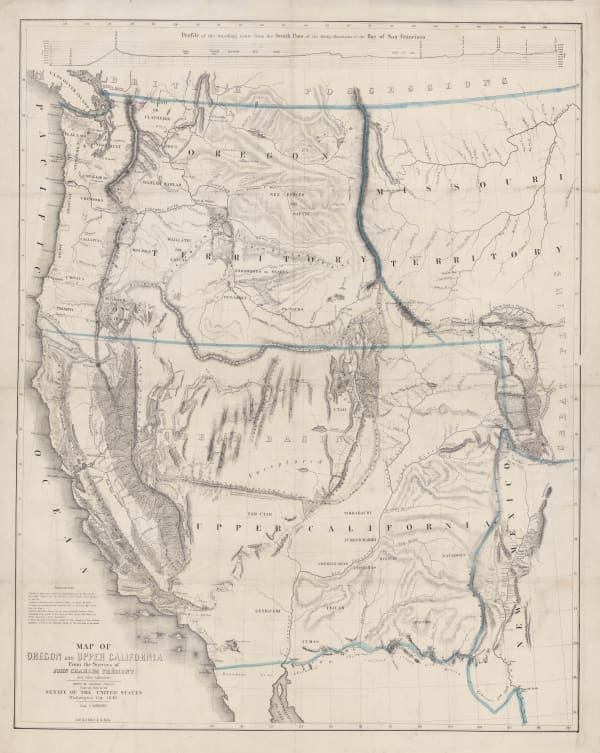
D.F. Robinson, Western Territories of the United States, 1847£ 985.00
-
-
Lt. George Horatio Derby, General Riley's Route, 1849£ 2,250.00
-
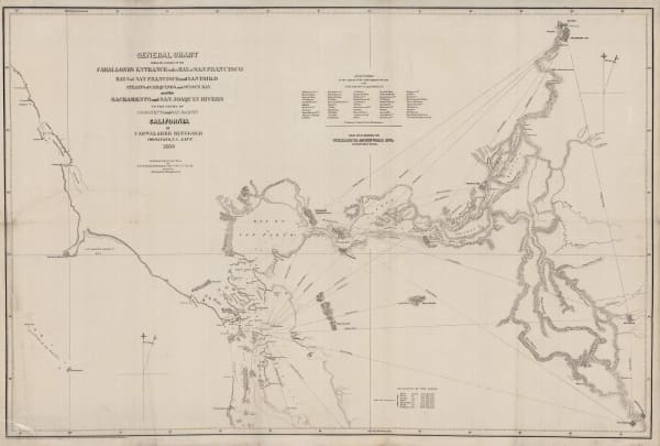
Cadwalader Ringgold, General Chart - Farallones Entrance to the Bay of San Francisco, 1850£ 1,950.00
-
Lt. George Horatio Derby, The Sacramento Valley from the American River to Butte Creek, 1850£ 2,250.00
-
John Tallis, Mexico, California and Texas, 1851£ 825.00
-
United States Pacific Railroad Expeditions (USPRR), Map of Passes in the Sierra Nevada, 1853£ 575.00
-
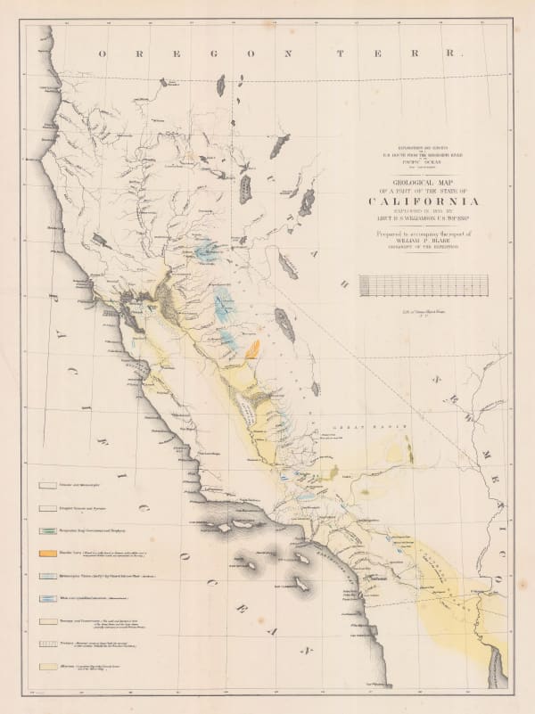
William P. Blake, Geological Map of California, 1855£ 795.00
-
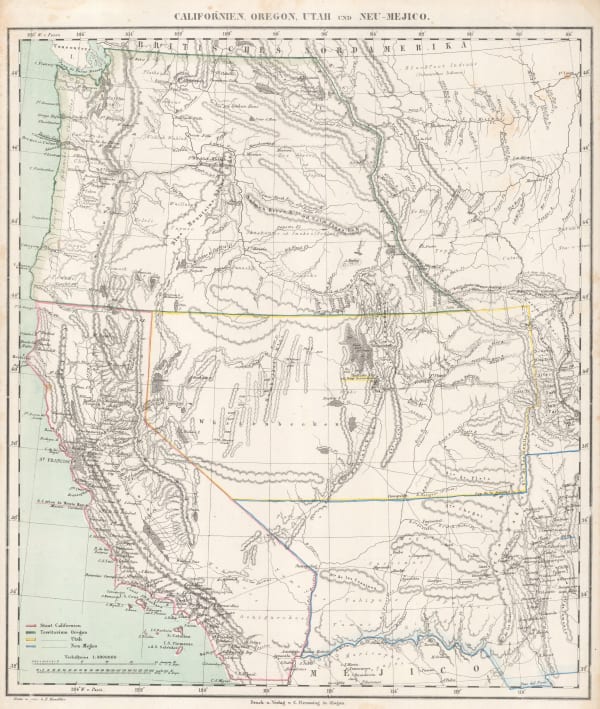
Carl Flemming, Californien, Oregon, Utah und Neu-Mejico, 1857£ 395.00
-
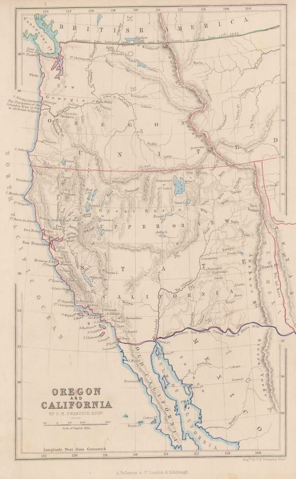
Archibald Fullarton, Oregon and California, 1860 c.£ 265.00
-
Royal Geographical Society (RGS), Map of the South-Western Portion of the United States, 1870£ 375.00
-
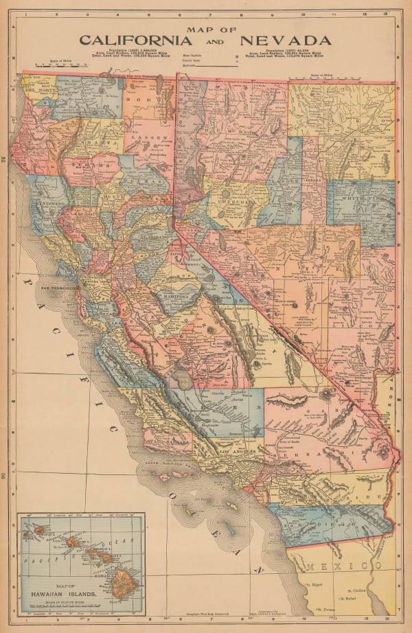
H.H. Hardesty & Co., Map of California and Nevada, 1875 c.£ 275.00
-
W. & A.K. Johnston, California, 1880 c.£ 95.00
-
French Admiralty, Carte de la Cote Occidental D'Amerique, 1881£ 825.00
-
Letts & Son, United States, West, & Mexico, North., 1881£ 275.00
-
-
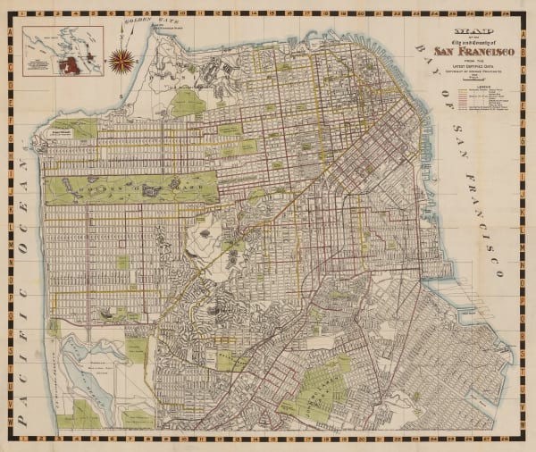
Bancroft Co., Bancroft's Official Guide Map of City and County San Francisco, 1887£ 1,850.00
-
John Bartholomew, United States Western Division, 1887£ 62.00
-
G. & J. Bartholomew, Western States, 1887£ 52.00
-
G.W. & C.B. Colton & Co., Atchison, Topeka and Santa Fe Railroad System, 1889£ 595.00
-
Arbuckle Brothers Company, [California], 1889£ 325.00
-
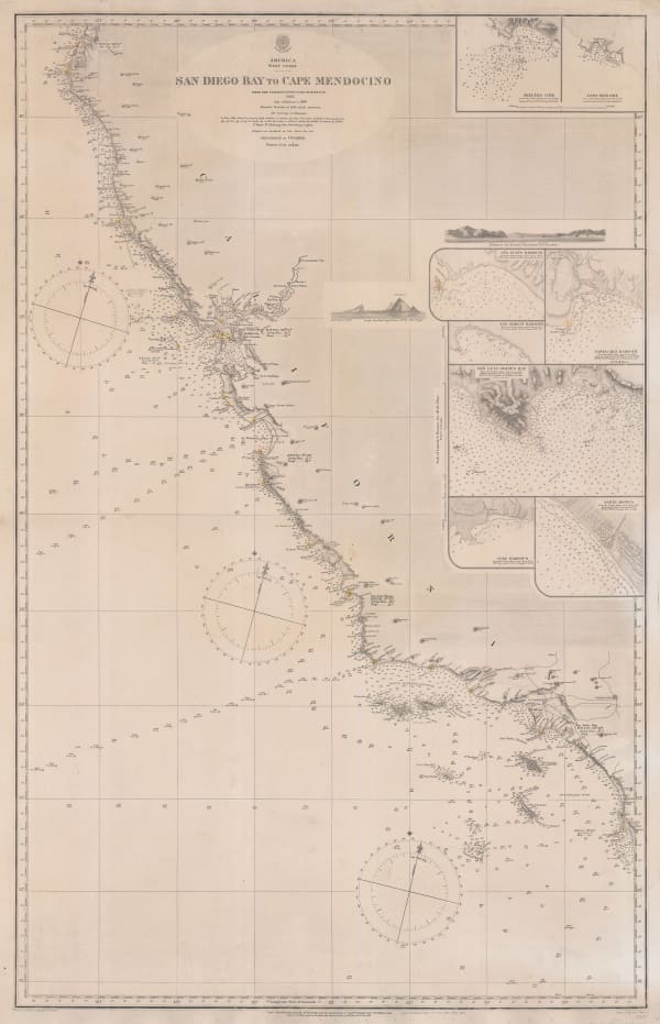
British Admiralty, Sea Chart of the California Coast, 1895£ 750.00
-
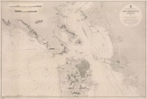
British Admiralty, San Francisco Harbour, 1895£ 1,850.00
-
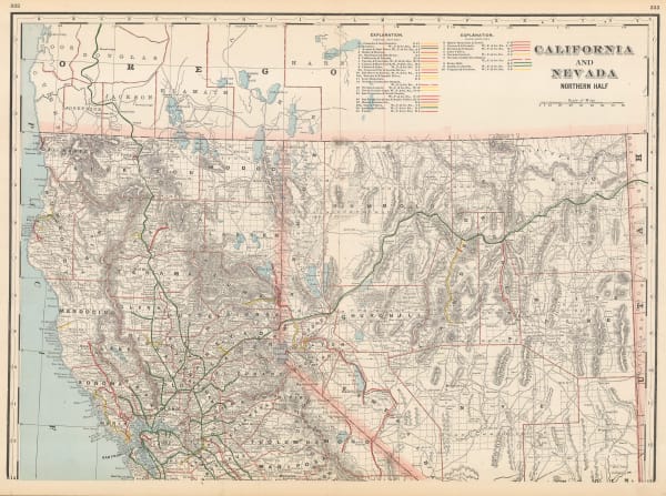
George Cram, California and Nevada Northern Half, 1897£ 225.00
-
Mast Crowell & Kirkpatrick, California and Nevada, 1897£ 195.00
-
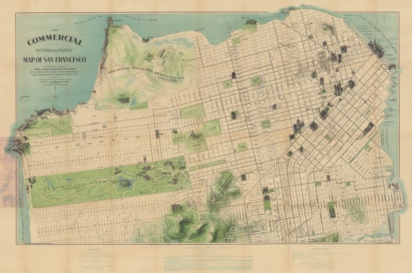
Augustus Chevalier, The Commercial Pictorial and Tourist Map of San Francisco, 1903£ 2,250.00
-
George Cram, Map of the City of San Francisco, 1903£ 395.00
-
-
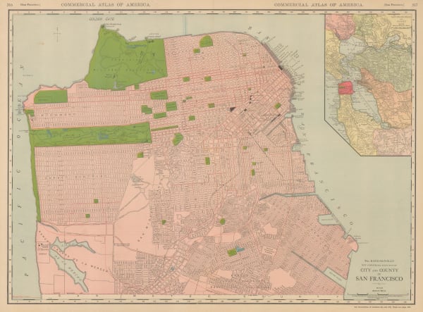
Rand, McNally & Co., City and County of San Francisco, 1912£ 495.00
-
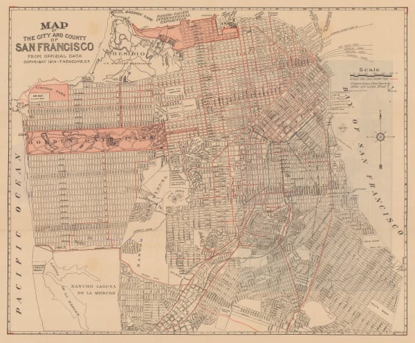
T. Newcomb, Map of the City and County of San Francisco, 1915£ 895.00
-
James Perrin Smith, Geological Map of California, 1916£ 4,000.00
-
O.A. Smith, Relief Map of the Territory Served by the Lines of the Pacific Electric Railway in Southern California, 1920£ 950.00
-
Clason Map Co., California and Nevada, 1923£ 375.00
-
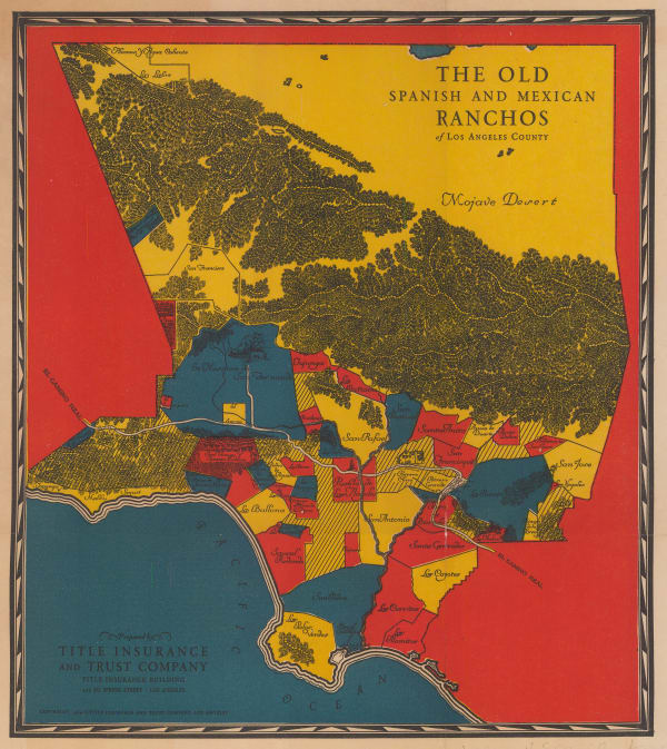
Gerald Allen Eddy, The Ranchos of Los Angeles County, 1929£ 525.00
-
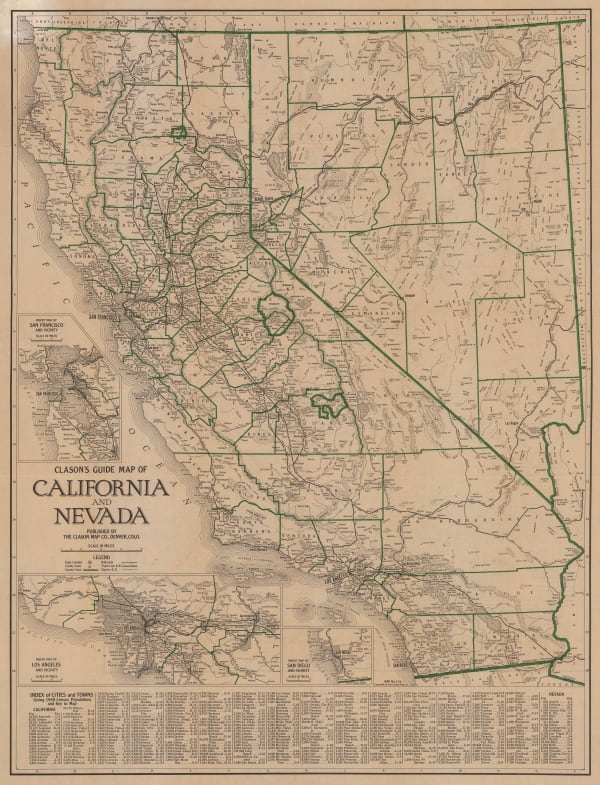
Clason Map Co., Clason's Guide Map of California and Nevada, 1930 c.£ 645.00
-
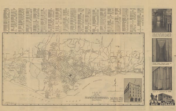
E. F. Hill, Map of the City of Santa Barbara, 1934£ 375.00
-
Schwabacher-Frey, California & Nevada, 1935£ 195.00
-
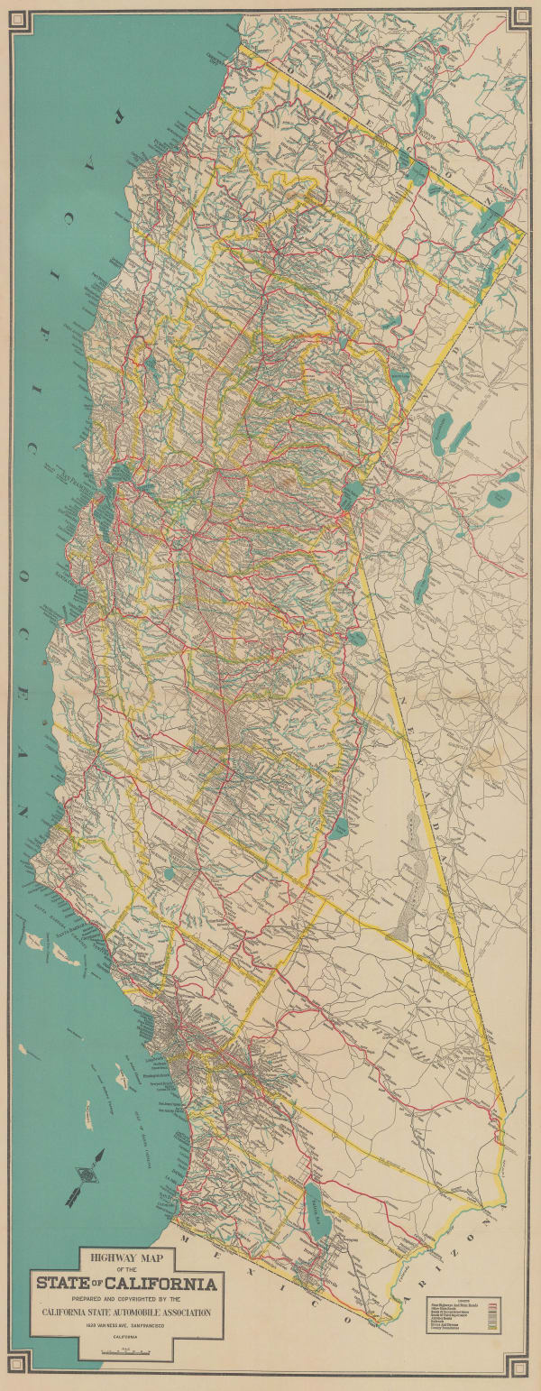
California State Automobile Association, California, 1935 c£ 750.00
-
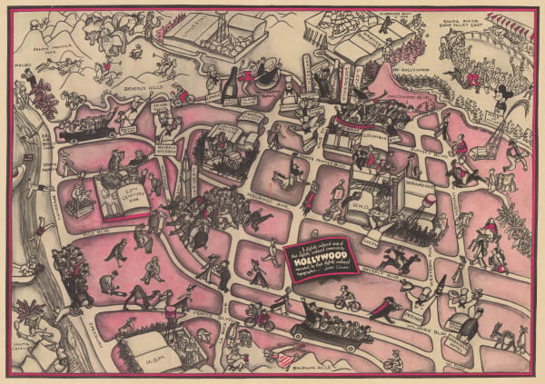
John Groth, A Slightly Cockeyed map of that slightly Cockeyed Community Hollywood, 1937£ 950.00
-
Kohnke Printing Co., Map of the City and County of San Francisco, 1939£ 785.00
-
Mitt Schenkofsky, Merry-maker's Map of San Francisco, 1940£ 2,950.00
-
Ruth Taylor, Wine Map of California, 1940 c.£ 3,800.00
-
Wesley G. Lake, Souvenir Map and Guide to Starland Estates and Mansions... A Fascinating Trip Through Movieland, 1943£ 1,350.00
-
Thomas Bros, Map of Berkeley, Albany and Vicinity, 1945 c£ 295.00
-
Dore Ogrizek, San Francisco, 1946£ 65.00
-
Dore Ogrizek, California, 1946£ 95.00
-
Paul Steinmetz, Street Map City of San Rafael, 1949£ 395.00
-
Charles Putnam, Ride the Roads to Romance along the Golden Coast and thru the Sunshine Empire of Southern California, 1952£ 495.00
-
Gerald Allen Eddy, Lake Tahoe, 1957£ 350.00
-
California Department of Natural Resources, California's State Parks, 1957£ 495.00
-
Palo Alto Chamber of Commerce, Palo Alto, 1967£ 545.00
-
Brown Productions, Pulp Fiction Map and Call Sheet, 1993£ 1,750.00
Close
Search Inventory
Our entire inventory of over 10,000 antique and vintage maps is now available to browse by region, date, cartographer, and subject


![Arbuckle Brothers Company, [California], 1889](https://artlogic-res.cloudinary.com/w_600,c_limit,f_auto,fl_lossy,q_auto/artlogicstorage/themaphouse/images/view/ec23a493754d3080f578cdd78cb29976j/themaphouse-arbuckle-brothers-company-california-1889.jpg)


Join our mailing list
* denotes required fields
We will process the personal data you have supplied to communicate with you in accordance with our Privacy Policy. You can unsubscribe or change your preferences at any time by clicking the link in our emails.
![]()