George W. Bacon
96 x 121 cm
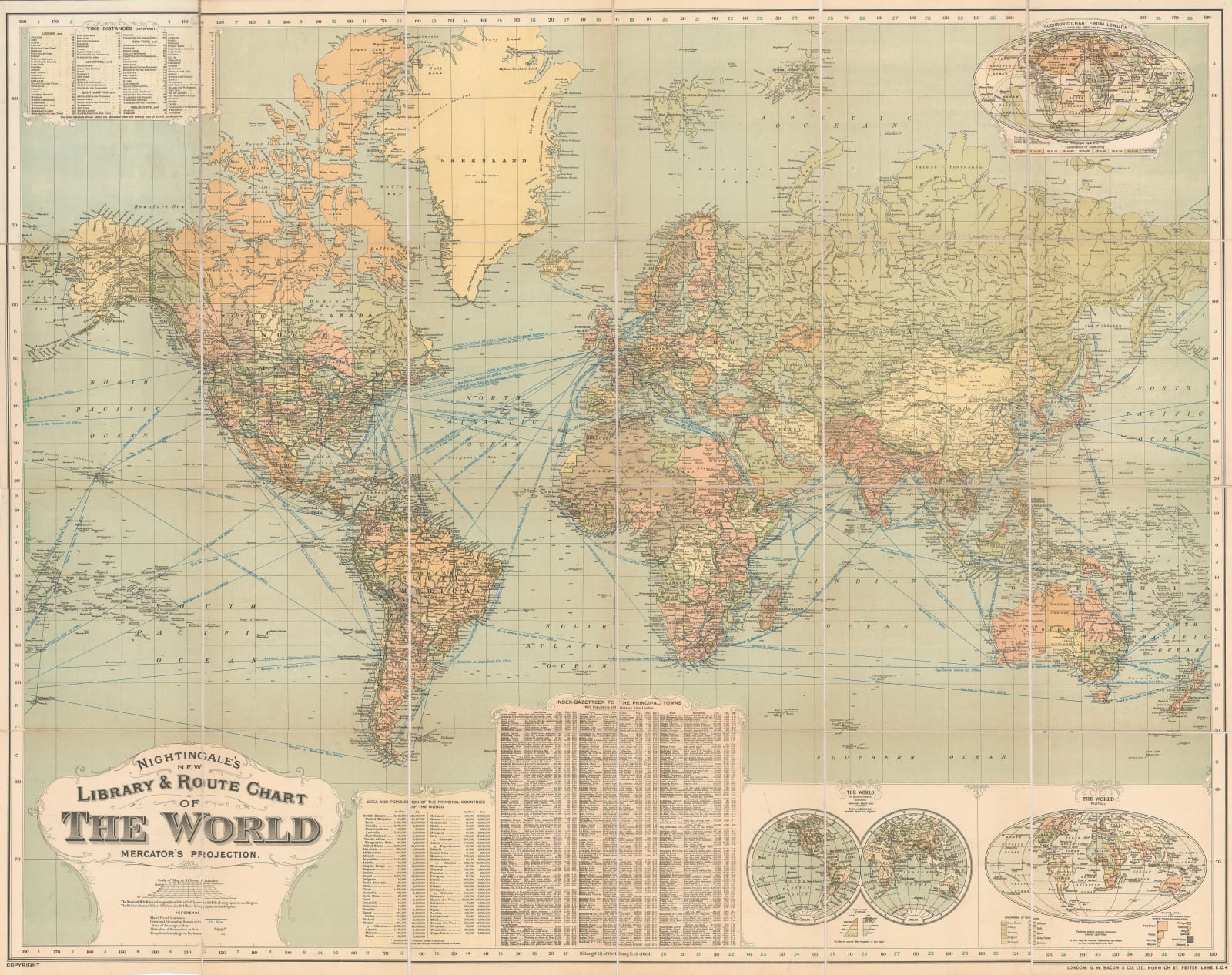
In the upper-right corner of the map is a fascinating inset map, known as an 'Isochronic' map. It uses colour to display how long it would take to travel from London to anywhere else on the globe at the time. Two further inset maps in the lower-right corner show the world on a double-hemisphere projection and the possessions of the main colonial powers. The populations and sizes of most countries and major cities around the world are listed in a gazetteer table.
Printed colour. [WLD4878]


