Abraham Ortelius
37 x 51 cm
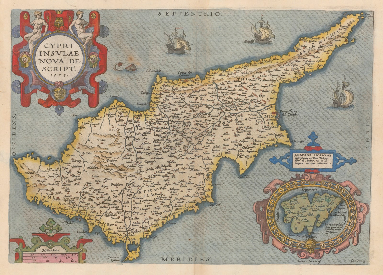
In 1570, Ortelius first issued his landmark work, the “Theatrum Orbis Terrarum”, now generally acknowledged as the first atlas, due to the uniform style, size and sequencing of its maps. The map of Cyprus in the work was based on the geography supplied by one of the foremost Italian map makers of the time, Giovanni Camocio. The map was one of two on the same sheet, the other being Crete.
For the 1573 edition of the work, Ortelius prepared an additional map of the island, this time on a single sheet. However, Ortelius abandoned his earlier source and now used a more obscure map of the island issued by another Venetian, Giacomo Franco as his model. Franco’s map was issued in very small numbers and was scarce even at the time of publishing but Ortelius must have felt that it was more accurate than Camocio’s map as this map became not just an addition but, from 1581 onwards, a replacement for the first map. It has been speculated that Franco sourced his information from local Venetian surveys.
The map was completely re-engraved and updated in 1592 but its shape remained fundamentally the same.
Due to the success of the “Theatrum”, the influence of the Ortelius version of this map cannot be overstated. It acted as a model for maps of Cyprus well into the 18th century. This example is the 1579 edition with Latin text on the reverse and in outstanding original colour. Image of reverse available on request. [MED2418]


