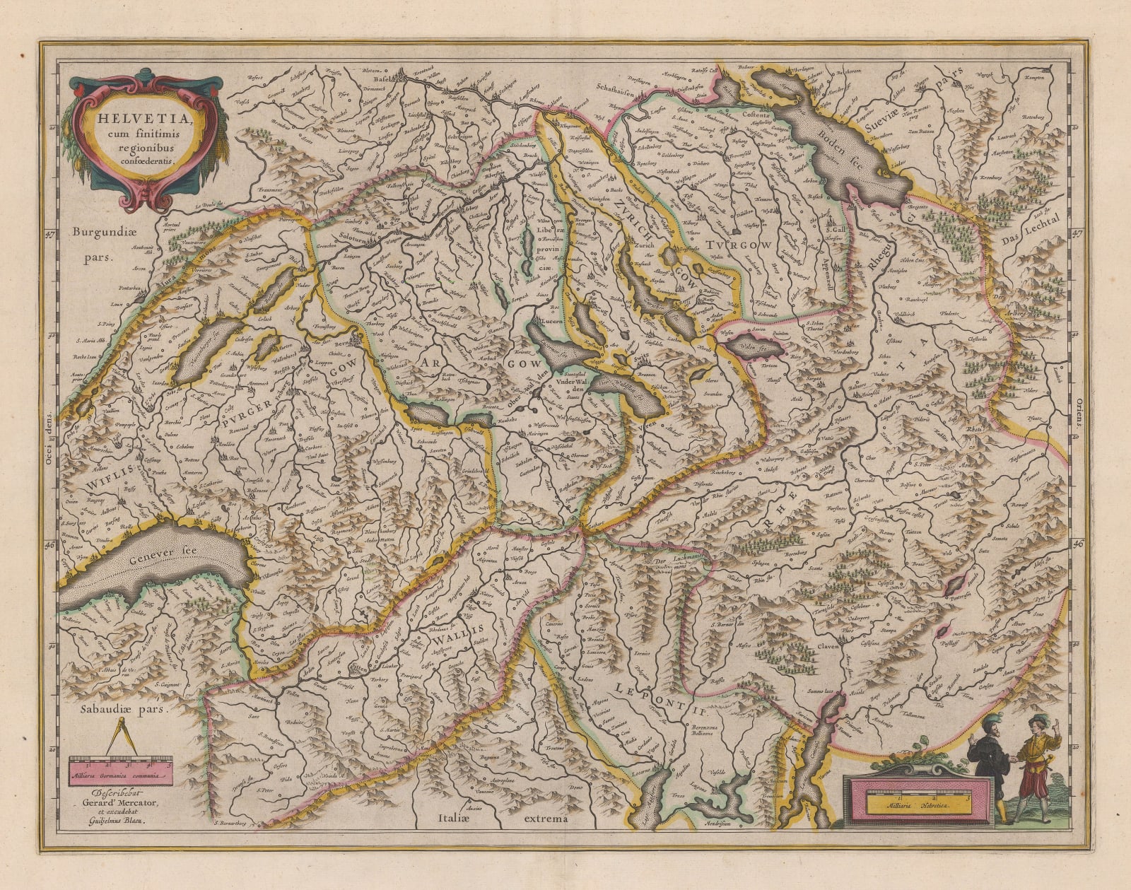
Willem & Jan Blaeu
39 x 51 cm
This Dutch Golden Age map of Switzerland, curiously divided into seven regions, is credited to two of the leading cartographers of the age: Gerard Mercator and Willem Blaeu. The map was compiled and drawn by Mercator and then edited, engraved, and published by Blaeu. Most of Mercator's maps were inherited (through Jodocus Hondius) by the Jansson firm, the great rivals of the Blaeu family. This is one of a small number of Blaeu maps to credit Mercator by name.
Dutch edition (verso image available upon request). Original hand-colour. [SWAS1518]


