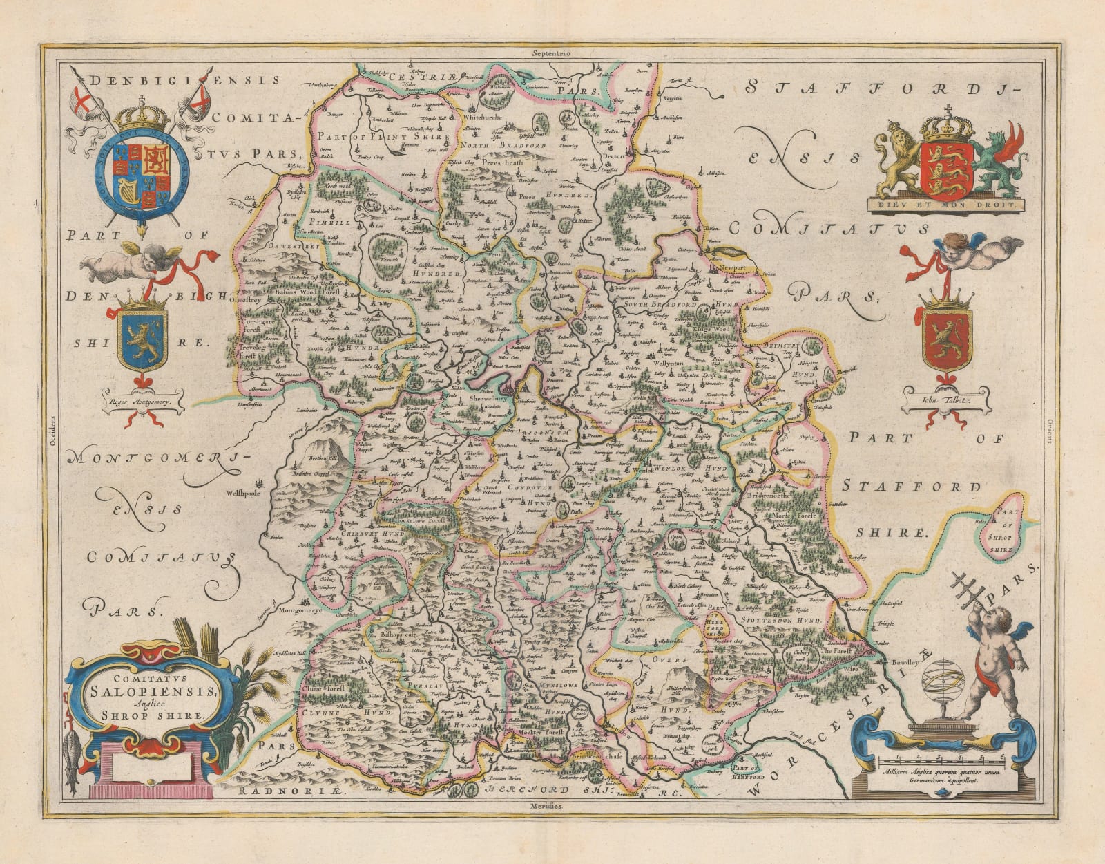
Willem & Jan Blaeu
40 x 51 cm
A decorative county map of Shropshire by one of the great figures of the Dutch Golden Age of mapmaking. Forests, hills, and enclosed estates are specifically denoted. The map is embellished with the coats of arms of Roger de Montgomery and John Talbot, two important historical figures who held the title of Earl of Shrewsbury in the 11th and 15th centuries, respectively, and a grander royal coat of arms.
Dutch text on the back of the map describes some of the county's history, its status as a march on the Welsh border, and its major towns.
Original hand-colour. [SALOP263]


