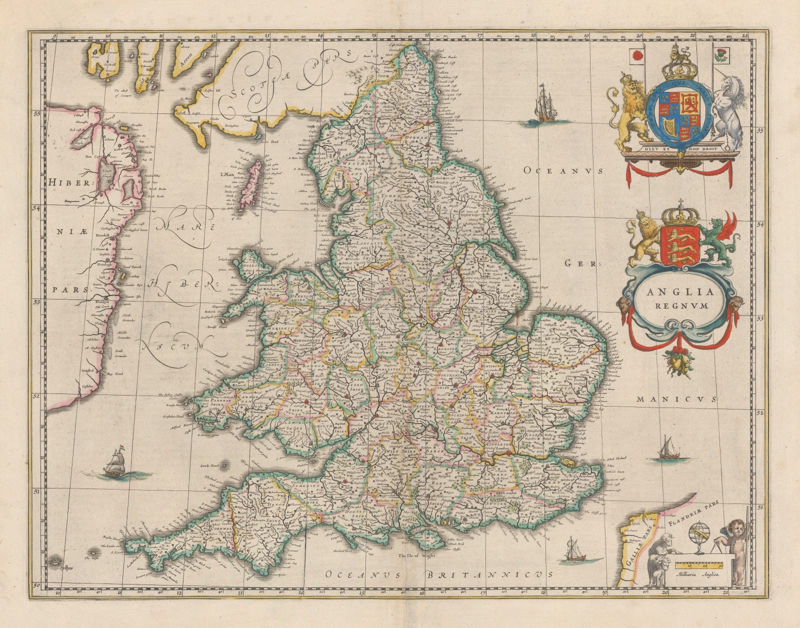
Willem & Jan Blaeu
40 x 50 cm
Iconic map of England and Wales first issued in 1634 and based on John Speed’s map o of the same area.
Blaeu first issued this map for his Atlas Novus in 1634 and used it throughout his atlases to the last issues of the Atlas Major into the late 1660s. The geography of the map is based on John Speed’s map first issued in 1611 although that map had illustrated borders of costumed figures, not present on this map.
The engraving style and sophistication of Blaeu’s map is very different from Speed’s with the former being more minimalist with his decoration. However, as usual with Blaeu, the map as been illuminated with fine colouring of the time and this colour has been used to delineate the counties. There are also several small ship engravings in the surrounding seas and two large cartouches on the upper right. These again have been embellished with very find original colour.
This is the 1648 edition of the map with Dutch text on reverse. Image available on request. Original colour. [GB2126]


