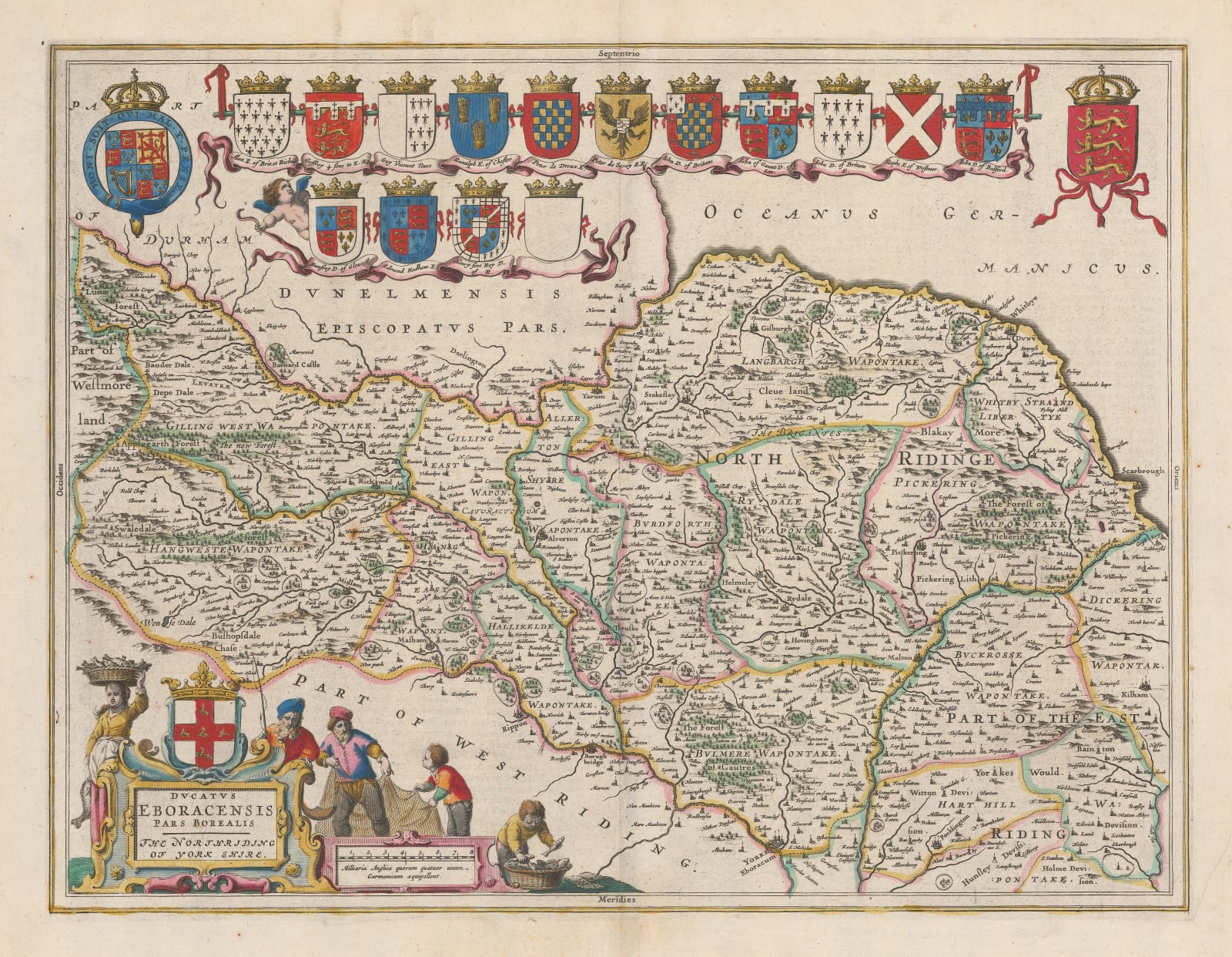
Willem & Jan Blaeu
40 x 51 cm
Geographically the map is based on John Speed's map of the North Riding first published in 1611. However, Blaeu has chosen to give the North Riding its own map, unlike Speed who amalgamated the North an East Ridings onto one sheet. In this, Blaeu emulates the map engraved by William Hole for William Camden's edition of Britannia in 1607. Blaeu has also omitted to add the town plans of Richmond and Hull present on Speed's map, using the space to add his beautiful row of armorial shields on the upper border.
Descriptive Dutch text on reverse. Rich original colour. Image of reverse available on request. [YORKS1043]


