Willem & Jan Blaeu
41 x 56 cm
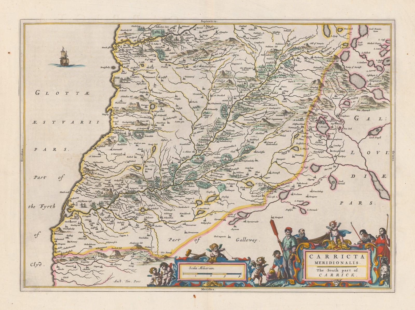
A handsome Dutch Golden Age map of the southern part of Ayrshire, extending from Girvan in the north to Ballantrae and the border with Galloway in the south. Hills, forests, private estates, rivers, and lakes are all illustrated on the map, alongside hundreds of towns and villages. The map is embellished with a grand title cartouche featuring fishermen and shepherds, a reference to the region's chief products.
This is the earliest printed map of this part of Scotland.
Latin edition. Bright original hand-colour. [SCOT1830]


