-
 Archibald Fullarton, Africa, 1860 c.£ 325.00
 -
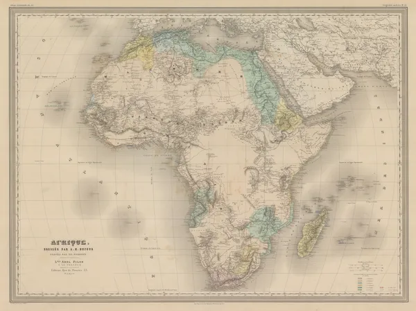
Victor Levasseur, Africa, 1860 c.£ 395.00
-
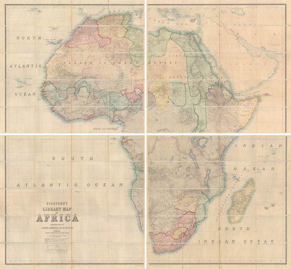
G. Woldermann, Folding wall map of Africa, 1870 c.£ 1,450.00
-
Justus Perthes, A Proposed Trans-Saharan Railway, 1877£ 72.00
-
-
Society for the Diffusion of Useful Knowledge (SDUK), Africa, 1879£ 275.00
-
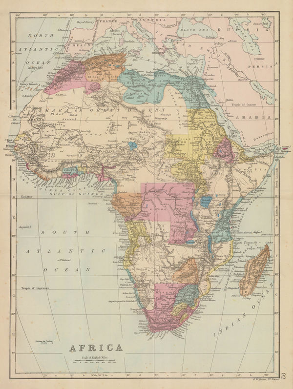
George W. Bacon, Africa, 1880 (c.)£ 195.00
-
W. & A.K. Johnston, Africa, 1880 c.£ 85.00
-
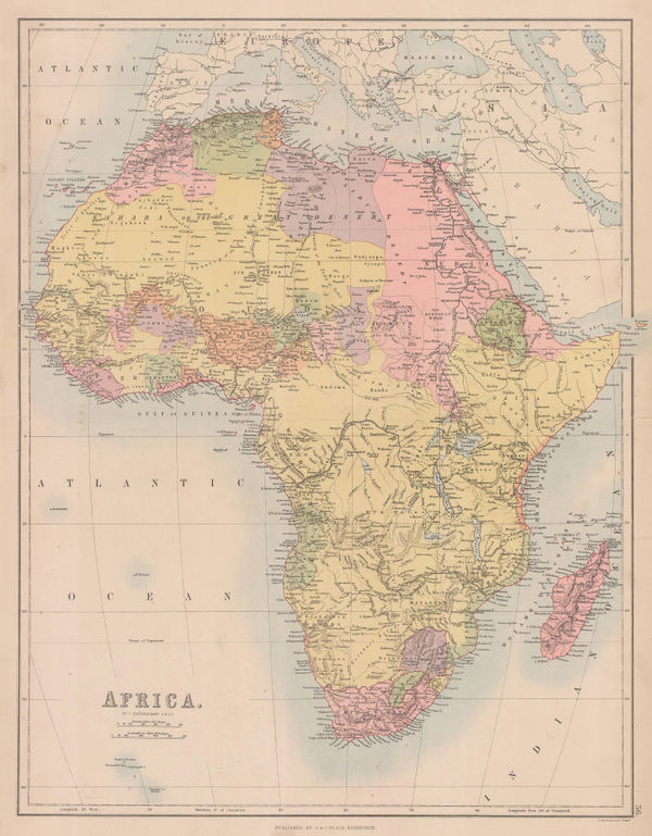
A. & C. Black, Africa, 1884£ 195.00
-
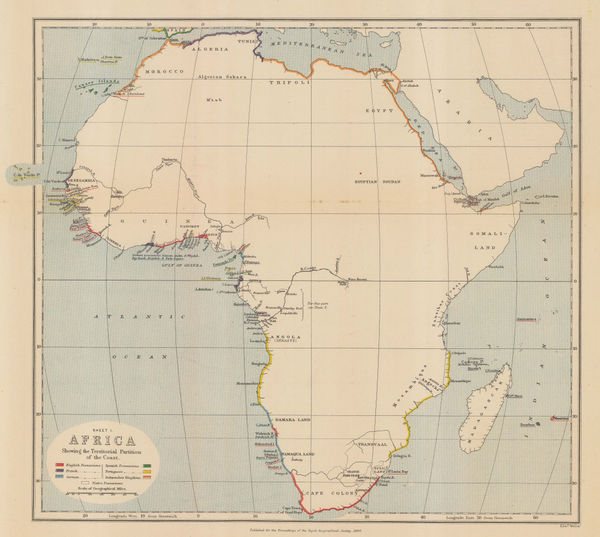
Royal Geographical Society (RGS), Africa showing colonial possessions, 1884£ 145.00
-
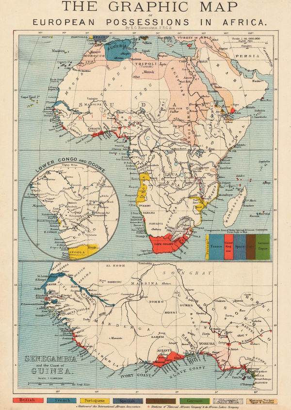
The Graphic Magazine, The Graphic Map of European Possessions in Africa, 1884£ 325.00
-
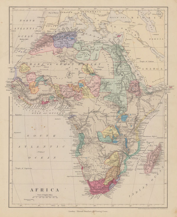
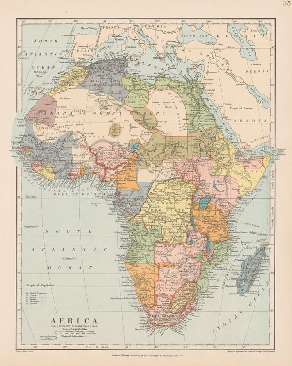
Edward Stanford, Africa, 1885£ 145.00
-
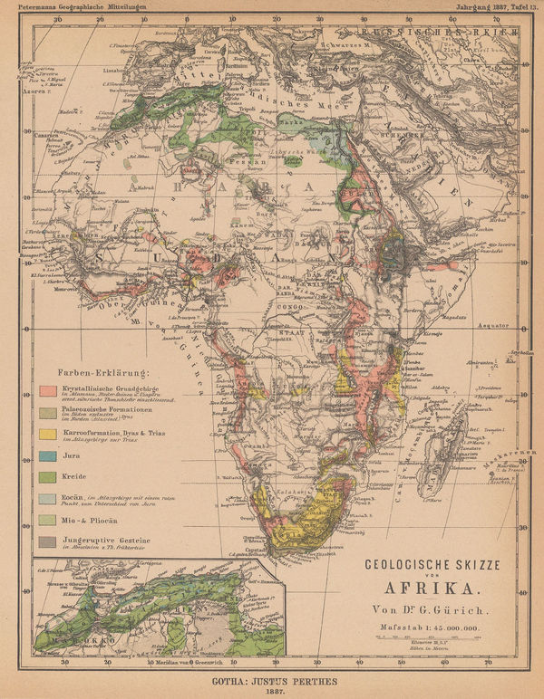
Justus Perthes, Geological sketch map of Africa, 1887£ 88.00
-
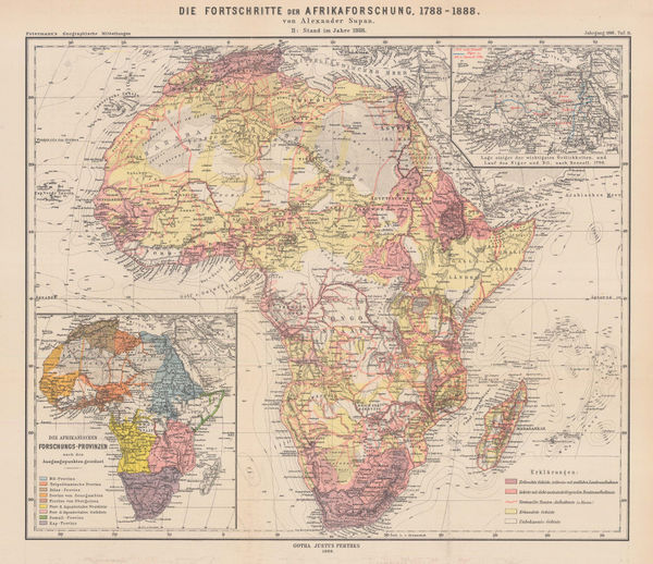
Justus Perthes, European influence and activity in Africa from 1788-1888, 1888£ 325.00
-
European Possessions and Claims in Central and Southern Africa, 1888Scottish Geographical Society (SGS)Series: EdinburghScottish Geographical Society (SGS), European Possessions and Claims in Central and Southern Africa, 1888£ 450.00
-
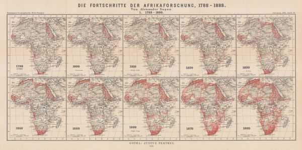
Justus Perthes, The Progress of African Exploration, 1888£ 245.00
-
George Philip & Son Ltd., Africa, 1890£ 295.00
-
Justus Perthes, Spheres of Interest in Southwest and East Africa, 1890£ 145.00
-
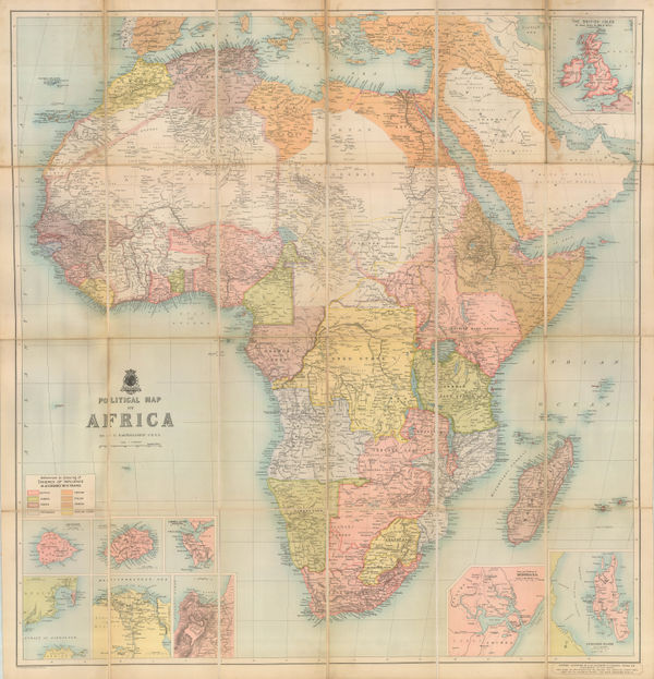
John Bartholomew & Co., Political Map of Africa, 1890 (c.)£ 825.00
-
George Philip & Son Ltd., Africa, 1890 c.£ 395.00
-
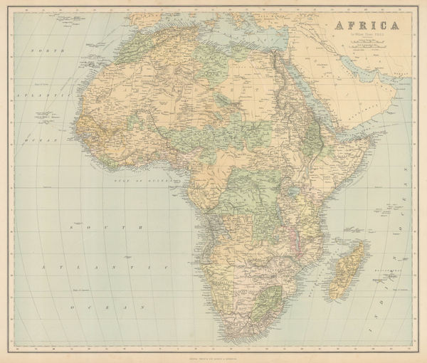
Edward Stanford, Africa, 1896£ 145.00
-
Edward Stanford, Africa, 1899 c.£ 685.00
-
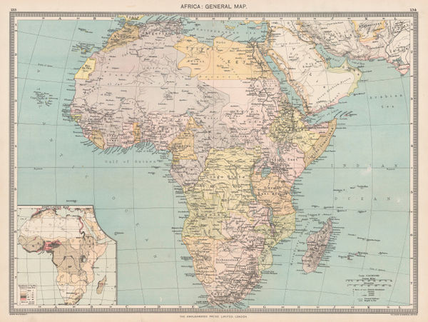
George Philip & Son Ltd., Africa, 1910 (c.)£ 125.00
-
George Philip & Son Ltd., Africa: Industries & Communications, 1910 c.£ 245.00
-
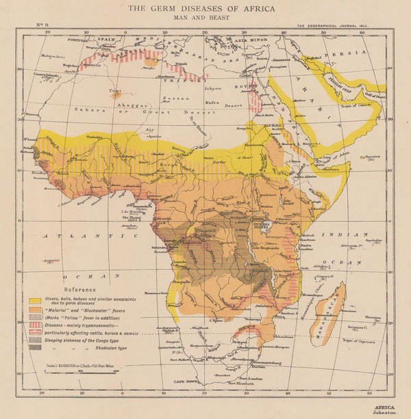
Royal Geographical Society (RGS), The Germ Diseases of Africa: Man and Beast, 1915£ 145.00
-
Royal Geographical Society (RGS), The Mineral and Vegetable Values of Africa, 1915£ 125.00
-
The Political map of Africa in July 1914 | Africa as it Might Have been in 1916 | Africa as it May be when the War is Finished., 1915Royal Geographical Society (RGS)Series: LondonRoyal Geographical Society (RGS), The Political map of Africa in July 1914 | Africa as it Might Have been in 1916 | Africa as it May be when the War is Finished., 1915£ 950.00
-
Royal Geographical Society (RGS), Railway map of Africa, 1916£ 485.00
-
Africa showing British possessions at their height, 1920Royal Geographical Society (RGS)Series: LondonRoyal Geographical Society (RGS), Africa showing British possessions at their height, 1920£ 345.00
-
-


Page
2
of 2