-
 John Speed, Dorsetshyre, 1614£ 2,250.00
 -
Willem & Jan Blaeu, Dorset, 1650 (c.)£ 1,150.00
-
Richard Blome, A Generall Mapp of Dorsetshire, 1673£ 495.00
-
Robert Morden, Dorset Shire, 1708£ 225.00
-
Emanuel Bowen & John Owen, Dorset Shire, 1720£ 165.00
-
Herman Moll, Dorset Shire, 1724£ 345.00
-
An Accurate Map of Dorset Shire Divided into its Hundreds, 1760 c.Emanuel Bowen & Thomas KitchinSeries: LondonEmanuel Bowen & Thomas Kitchin, An Accurate Map of Dorset Shire Divided into its Hundreds, 1760 c.£ 1,250.00
-
A Draught of Portland the Shambles and the Race of Portland, 1785Capt. Greenvile CollinsSeries: LondonCapt. Greenvile Collins, A Draught of Portland the Shambles and the Race of Portland, 1785£ 625.00
-
John Seller, Dorsetshire, 1787£ 95.00
-
John Cary, Map of Dorsetshire from the Best Authorities, 1805£ 275.00
-
Christopher & John Greenwood, Map of County Dorset, 1826£ 3,500.00
-
Robert Kearsley Dawson, Poole, 1832£ 62.00
-
Thomas Moule, Dorsetshire, 1840 c.£ 98.00
-
Samuel Lewis, Dorset, 1842£ 68.00
-
A. Fullarton & Co., Dorsetshire, 1860 c£ 68.00
-
Ordnance Survey, Wimborne, Blandford, Shaftesbury, Lynhurst, Salisbury & Ringwood, 1872£ 295.00
-
Ordnance Survey, One-Inch Map of Dorset & Somerset around Yeovil, 1878£ 325.00
-
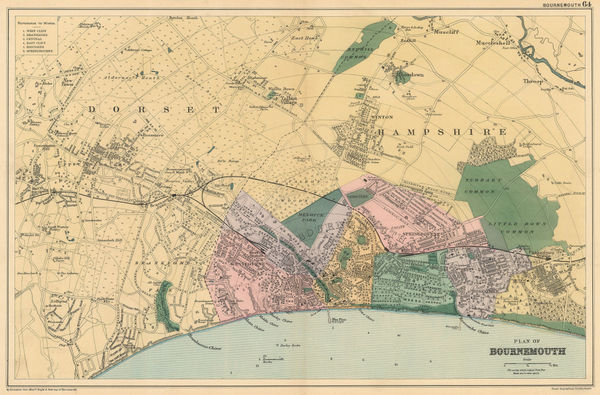
George W. Bacon, Bournemouth, 1890 c.£ 145.00
-
J.F. Bright, Bournemouth, 1892£ 375.00
-
George W. Bacon, Dorsetshire, 1895£ 35.00
-
George Philip & Son Ltd., The County of Dorset, 1895£ 35.00
-
George W. Bacon, Bournemouth, 1920 c.£ 325.00
-
Royal Geographical Society (RGS), South Haven Peninsula : Studland Heath, 1933£ 225.00
-
Biles, F.G., Lyme Regis, 1970 c£ 95.00
All Maps
Our entire inventory of over 10,000 antique and vintage maps is now available to browse by region, date, cartographer, and subject