-
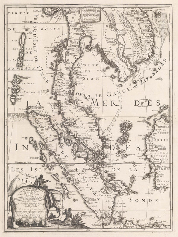
 Jan Jansson, Sumatra, Singapore & the Straits of Malacca, 1657£ 1,950.00
 -
-
-
Jacques-Nicolas Bellin, Sumatra, Singapore & Malaysia, 1764£ 395.00
-
Laurie & Whittle, Chart of the Riau Islands in the Singapore Strait, 1794£ 1,250.00
-
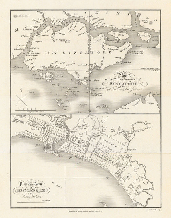
Philip Jackson, Plan of the British Settlement of Singapore, 1828£ 3,250.00
-
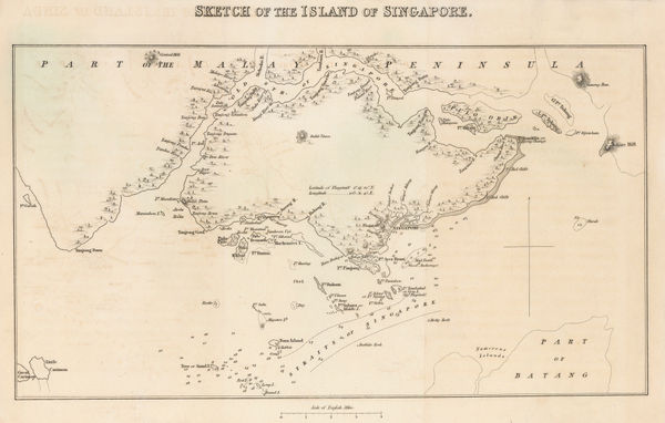
Sophia Raffles, Sketch Map of the Island of Singapore, 1835£ 3,250.00
-
Adrian J. Bogaerts, Wall Map of the Dutch East Indies (Indonesia), 1857£ 2,850.00
-
Archibald Fullarton, British Possessions in the Indian Seas, 1860 c.£ 475.00
-
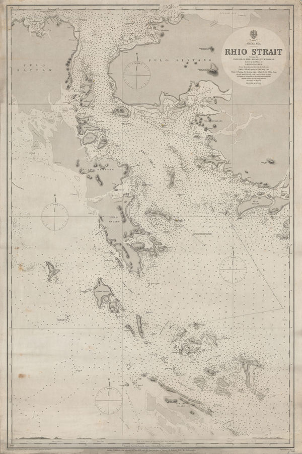
British Admiralty, Riau Islands, Indonesia, 1881£ 595.00
-
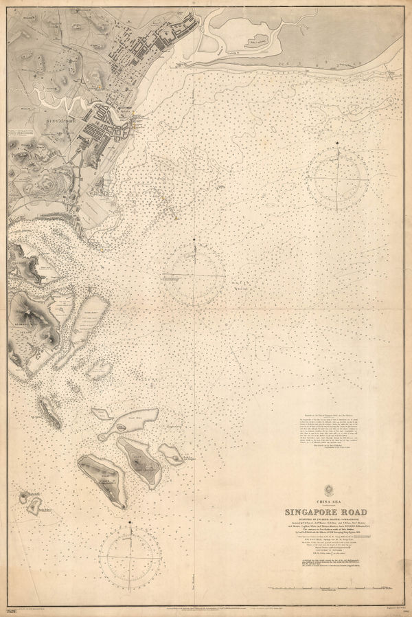
British Admiralty, Singapore Sea Chart, 1900£ 3,750.00
-
British Admiralty, Singapore Sea Chart, 1924£ 3,250.00
-
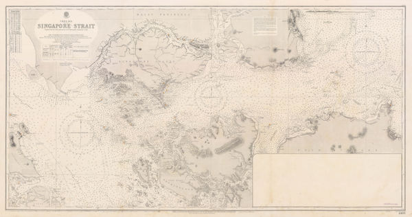
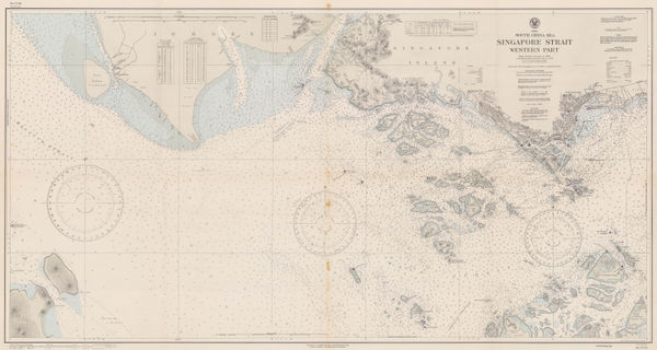
British Admiralty, Singapore Strait Sea Chart, 1927£ 3,950.00
-
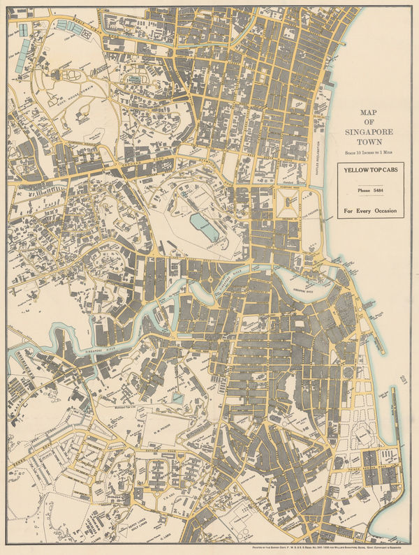
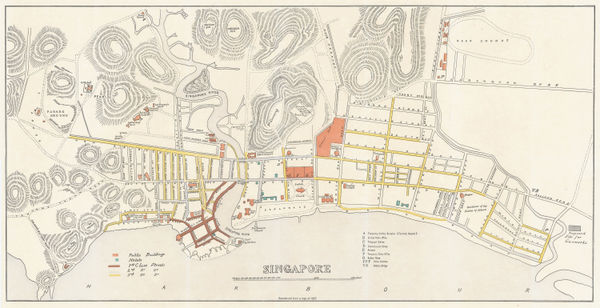
A.C. Willis, Map of Singapore Town, 1935£ 2,000.00
-
-
United States Hydrographic Office, Singapore Strait Sea Chart, 1945£ 1,250.00
-
-
Jules Moniot, Singapore, 1950 c£ 545.00
-
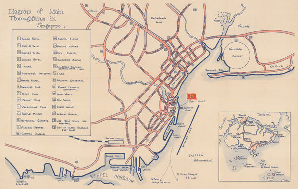
Anonymous, Main Thoroughfares in Singapore, 1950 c.£ 675.00
-
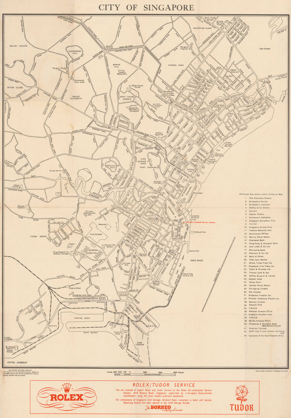
Survey Dept. F.M.S., City of Singapore, 1952£ 1,450.00
-
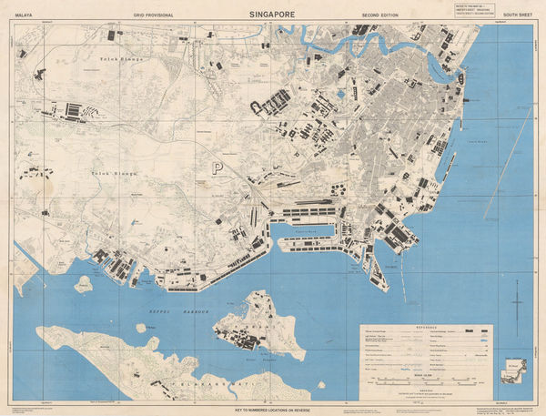
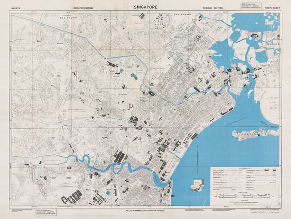
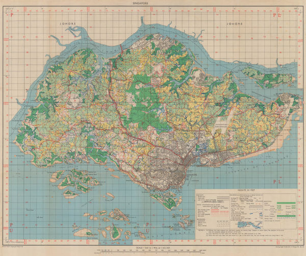
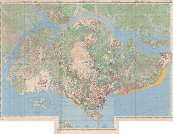
Survey Dept. Malaya, Singapore & Johore Bahru, 1954£ 2,750.00
-
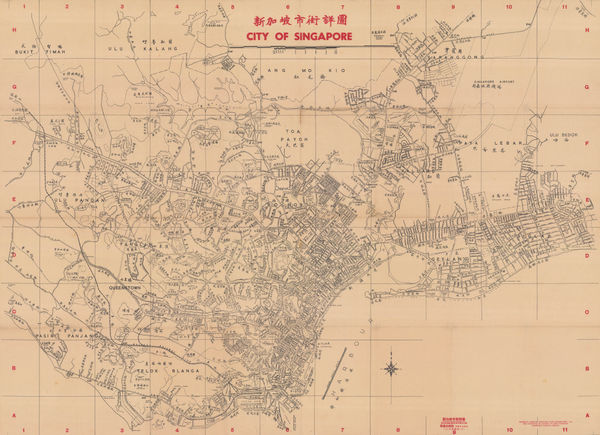
Singapore Improvement Trust (SIT), 新加坡市街詳圖 City of Singapore, 1955£ 4,250.00
-
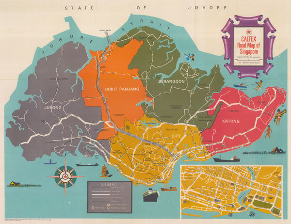
LPE, Ltd., Road Map of Singapore, 1956£ 1,450.00
-
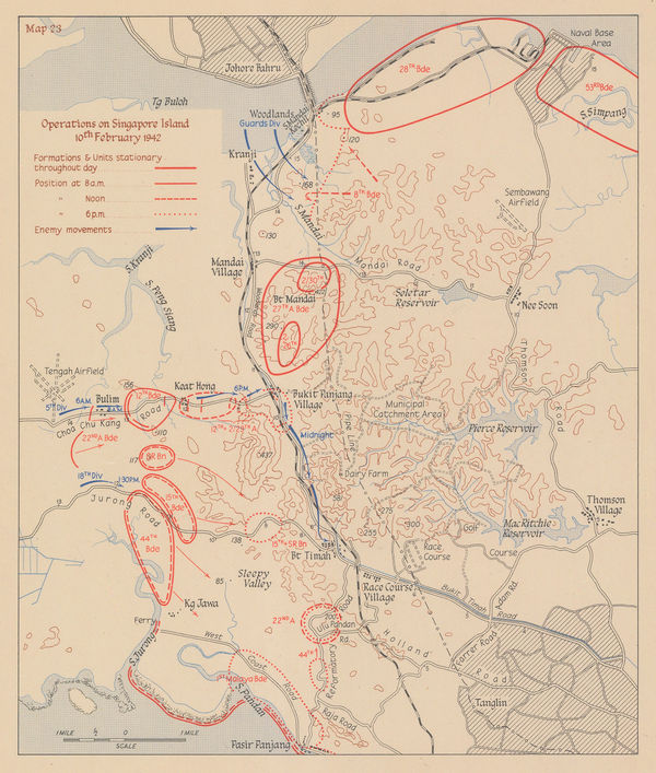
Operations on Singapore Island 10th February 1942, 1957Her Majesty's Stationery Office (HMSO)Series: LondonHer Majesty's Stationery Office (HMSO), Operations on Singapore Island 10th February 1942, 1957£ 295.00
-
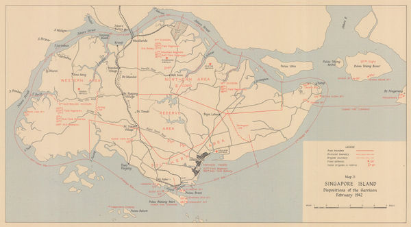
Her Majesty's Stationery Office (HMSO), WW2 Map of Singapore Island, 1957£ 425.00
-
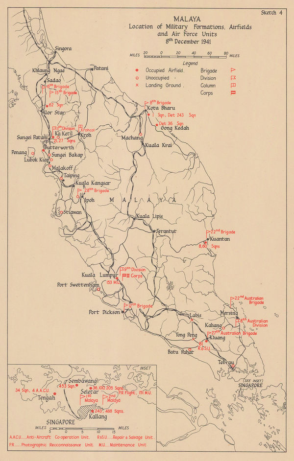
Her Majesty's Stationery Office (HMSO), WW2 Map of Malaysia, 1957£ 195.00
-
Her Majesty's Stationery Office (HMSO), Battle of Singapore, 1957£ 425.00
-
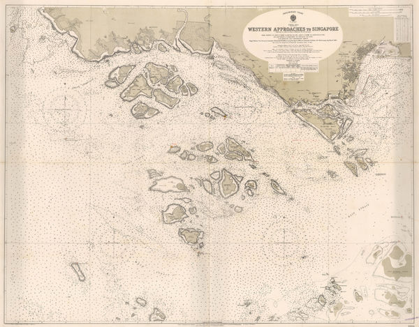
British Admiralty, Sea Chart of the Eastern Approaches to Singapore, 1960£ 495.00
-
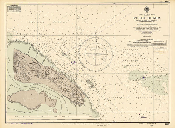
British Admiralty, Pulau Bukom, Singapore's Petroleum Hub, 1960£ 395.00
-
Tien Wah Press, Ltd., Singapore, 1960 c£ 2,500.00
-
-
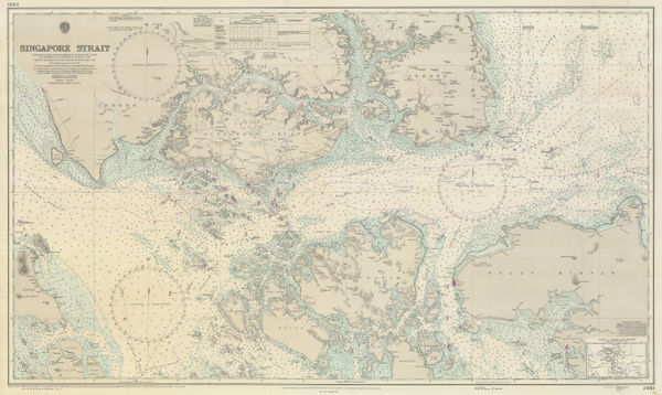
British Admiralty, Singapore Strait, 1974£ 650.00
-
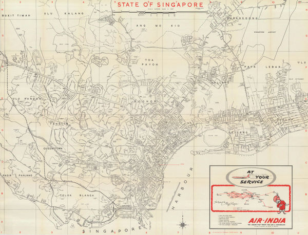
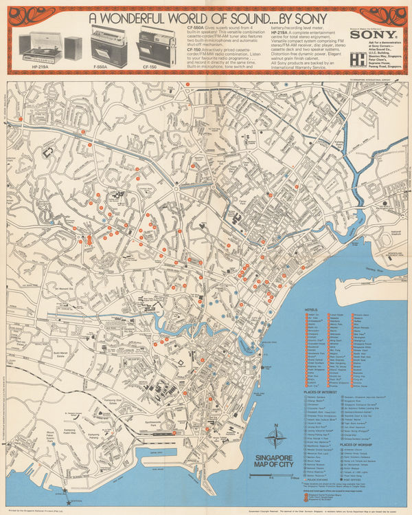
Singapore Tourism Promotion Board (STPB), Singapore, 1975 c.£ 875.00
All Maps
Our entire inventory of over 10,000 antique and vintage maps is now available to browse by region, date, cartographer, and subject