-
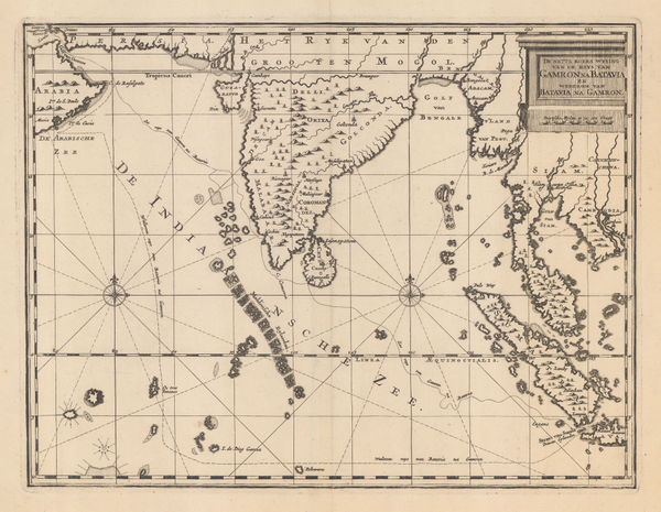
 Pierre Mortier, Chart of the Indian Ocean, 1690 c.£ 3,450.00
 -
Cornelis de Bruyn, Dutch trading routes between Bandar Abbas and Jakarta, 1714£ 445.00
-
Herman Moll, The Indian Ocean, 1720 c.£ 975.00
-
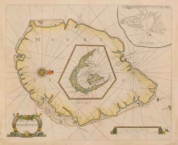
Mount & Page, Mauritius, 1734 (c.)£ 3,850.00
-
Jacques-Nicolas Bellin, Arabian Sea, 1740£ 245.00
-
Jacques-Nicolas Bellin, Madagascar, South East Africa and western Indian Ocean, 1740£ 195.00
-
Herman Moll, Chart of the East Indies, 1745£ 795.00
-
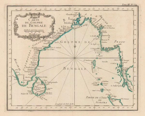
Jacques-Nicolas Bellin, Carte du Golphe de Bengale, 1747£ 345.00
-
Jacques-Nicolas Bellin, Gulf of Bengal, 1764£ 245.00
-
Jacques-Nicolas Bellin, Port Louis, Mauritius, 1764£ 495.00
-
Jacques-Nicolas Bellin, Madagascar, Réunion, Mauritius & Comoros, 1764£ 195.00
-
Rigobert Bonne, Mauritius, Réunion & Rodrigues, 1780 c£ 375.00
-
Laurie & Whittle, A Chart of the Mahe and Amirantes Islands, 1794£ 2,450.00
-
Laurie & Whittle, A Chart of the Nicobar Islands in the Gulf of Bengal, 1794£ 750.00
-
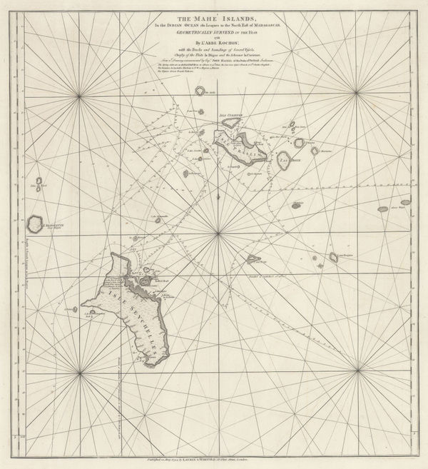
Laurie & Whittle, The Seychelles, or Mahe Islands, 1794£ 2,450.00
-
W. & A.K. Johnston, Physical Chart of the Indian Ocean, 1848£ 295.00
-
Sketch Showing the Courses of the Hurricane of April 1847, 1849Royal Geographical Society (RGS)Series: LondonRoyal Geographical Society (RGS), Sketch Showing the Courses of the Hurricane of April 1847, 1849£ 48.00
-
James Imray, Indian Ocean, 1868Reserved
-
Royal Geographical Society (RGS), The Andaman Islands, 1880£ 125.00
-
Richard Holmes Laurie, The Arabian Sea, 1882£ 58.00
-
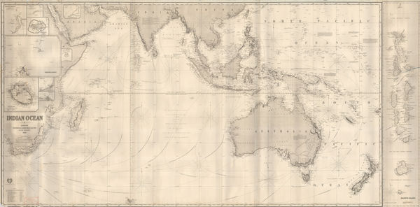
James Imray, The Indian Ocean, 1882£ 52.00
-
James Imray, The Indian Ocean, 1882£ 52.00
-
James Imray, The Indian Ocean, 1882£ 52.00
-
James Imray, The Indian Ocean, 1882£ 52.00
-
Justus Perthes, Indian Ocean, 1895£ 38.00
-
Royal Geographical Society (RGS), Indian Ocean, 1906£ 195.00
-
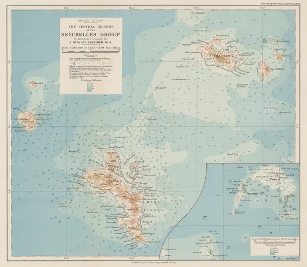
Royal Geographical Society (RGS), The Central Islands of the Seychelles Group, 1907£ 425.00
-
John Bartholomew & Co., The Indian Empire and Surrounding Countries, 1909£ 95.00
-
John Bartholomew & Co., Principal Economic Minerals of India, 1909£ 95.00
-
John Bartholomew & Co., Railway Map of India, 1909£ 68.00
-
Edward Stanford, The Indian Ocean with Routes and Distances, 1937 c.£ 375.00
-
British Admiralty, Steamship Routes Indian Ocean, 1951£ 575.00
-
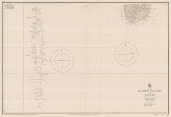
British Admiralty, The Maldives, 1976£ 650.00
-
British Admiralty, Sea Chart of the Maldives to Sri Lanka, 1977£ 650.00
All Maps
Our entire inventory of over 10,000 antique and vintage maps is now available to browse by region, date, cartographer, and subject