-
 John Stow, Langborne Ward & Candlewick Ward, 1720£ 250.00
 -
John Stow, Tower Street Ward, 1720£ 395.00
-
William Maitland, Billinsgate Ward and Bridge Ward Within, 1754£ 245.00
-
John Stow, Breadstreet Ward and Cordwainer Ward, 1754£ 145.00
-
William Maitland, Aldersgate Ward, 1754£ 395.00
-
William Maitland, Queenhithe Ward and Vintry Ward, 1754£ 195.00
-
John Stow, A Map of the Tower Liberty, 1754£ 395.00
-
Cheap Ward with its Divisions into Parishes According to a New Survey, 1755William MaitlandSeries: LondonWilliam Maitland, Cheap Ward with its Divisions into Parishes According to a New Survey, 1755£ 445.00
-
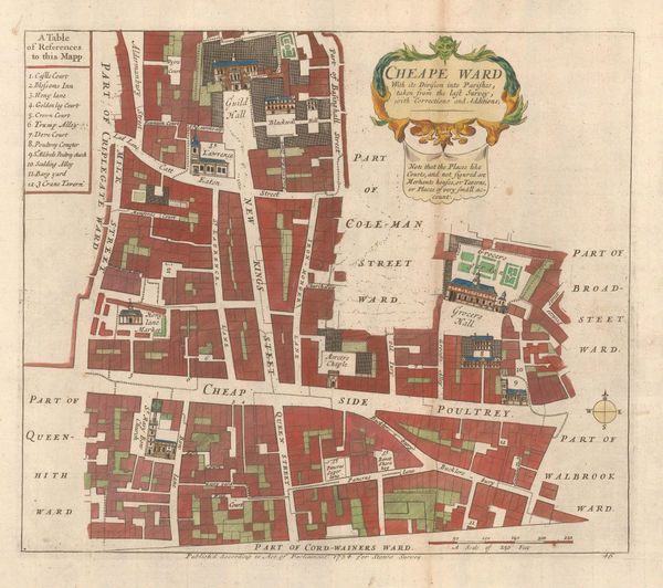
John Stow, Cheape Ward, 1755£ 325.00
-
William Maitland, Langborne Ward and Candlewick Ward, 1755£ 775.00
-
John Stow, Coleman Street Ward and Bashishaw Ward, 1755£ 285.00
-
John Stow, A Mapp of Lime Street Ward, 1755 c.£ 118.00
-
William Maitland, Aldgate Ward, 1756£ 165.00
-
William Maitland, Breadstreet Ward and Cordwainers Ward, 1756£ 245.00
-
William Maitland, The Wards of Coleman Street and Bassishaw, 1756£ 265.00
-
Tower Street Ward with their Divisions into Parishes according to a New Survey, 1756William MaitlandSeries: LondonWilliam Maitland, Tower Street Ward with their Divisions into Parishes according to a New Survey, 1756£ 220.00
-
William Maitland, Walbrook Ward and Dowgate Ward, 1756£ 245.00
-
A Plan of the City and Liberties of London after the Dreadful Conflagration in the Year 1666, 1756Emanuel BowenSeries: LondonEmanuel Bowen, A Plan of the City and Liberties of London after the Dreadful Conflagration in the Year 1666, 1756£ 625.00
-
A Plan of the Roads and Streets from Islington to Dog House Bar delineated to shew a New Road, 1760London MagazineSeries: LondonLondon Magazine, A Plan of the Roads and Streets from Islington to Dog House Bar delineated to shew a New Road, 1760£ 85.00
-
London Magazine, Breadstreet Ward and Cordwainers Ward, 1766£ 145.00
-
London Magazine, Candlewick and Langborne Wards, 1768£ 135.00
-
London Magazine, Queen Hith and Vintry Wards, 1771£ 115.00
-
London Magazine, Walbrook Ward and Dowgate Ward, 1772£ 125.00
-
John Noorthouck, Broad Street & Cornhill Wards, 1773£ 185.00
-
John Britton, London, 1817£ 445.00
-
Frederick Trench, Westminster, the Strand, and the Southbank, 1829£ 275.00
-
John Tallis, [Blackfriars Rd], 1840 c.£ 80.00
-
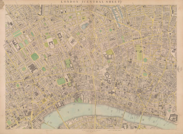
Edward Weller, Map of London (Central Sheet), 1863£ 595.00
-
Edward Stanford, West Central London, 1877£ 1,850.00
-
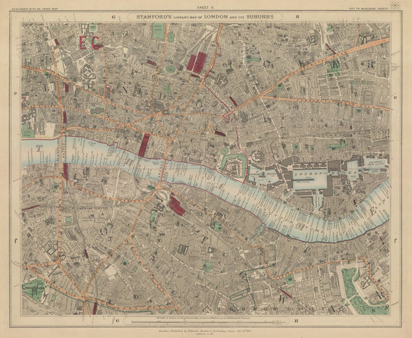
Edward Stanford, The City, Southwark, Wapping & Whitechapel, 1877£ 1,150.00
-
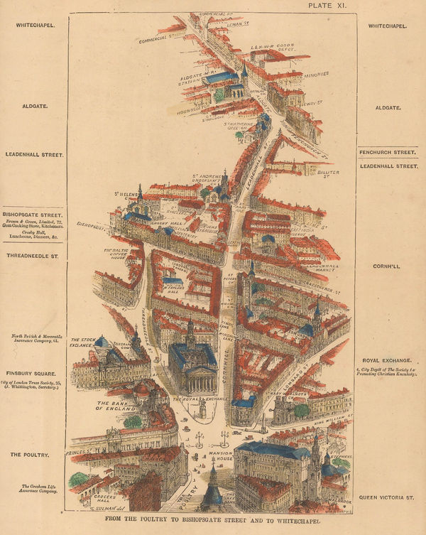
Thomas Sulman, From the Poultry to Bishopsgate Street and to Whitechapel, 1880£ 135.00
-
George W. Bacon, Central London, 1886£ 525.00
-
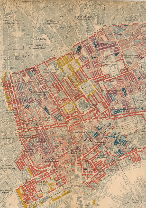
Charles Booth, Charles Booth's Poverty Map of London (NW), 1889£ 3,750.00
-
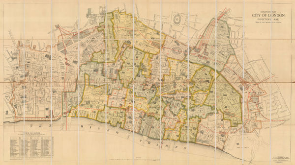
Collingridge's City of London Directory Map, Shewing the Latest Improvements and Alterations, 1890 (c.)W.H. & L. CollingridgeSeries: LondonW.H. & L. Collingridge, Collingridge's City of London Directory Map, Shewing the Latest Improvements and Alterations, 1890 (c.)£ 1,100.00
-
W. & A.K. Johnston, Central London, 1890 c.£ 175.00
-
Westminster, Piccadilly, Victoria, Mayfair, Soho, and Waterloo, 1891John Bartholomew & SonSeries: EdinburghJohn Bartholomew & Son, Westminster, Piccadilly, Victoria, Mayfair, Soho, and Waterloo, 1891£ 145.00
-
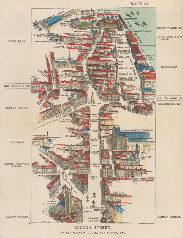
Thomas Sulman, Cannon Street, to the Mansion House, the Tower, etc, 1894£ 145.00
-
Charles Booth, West Central London, 1900£ 925.00
-
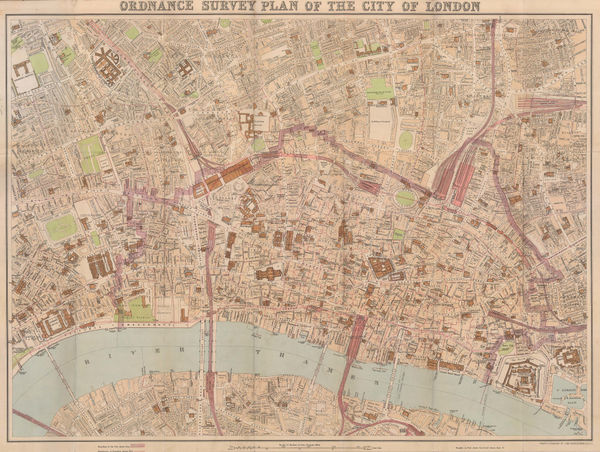
John Bartholomew, Ordnance Survey Plan of the City of London, 1900 (c.)£ 745.00
-
Edward Stanford, South London, 1904£ 445.00
-
A. & C. Black, St James Park & Green Park, 1907£ 75.00
-
A. & C. Black, Regents Park, 1907£ 75.00
-
A. & C. Black, Central London, 1907£ 75.00
-
W.H. & L. Collingridge, Plan of the City of London, 1910£ 495.00
-
George W. Bacon, East and Northeast London, 1910 c£ 425.00
-
The City, Wapping, Aldgate, Whitechapel, Liverpool St & Barbican, 1929John Bartholomew & SonSeries: EdinburghJohn Bartholomew & Son, The City, Wapping, Aldgate, Whitechapel, Liverpool St & Barbican, 1929£ 68.00
-
Ordnance Survey, Kings Cross and Angel, 1933 c.£ 1,150.00
-
Rex Whistler, Prospect of the City of London, 1934£ 3,250.00
-
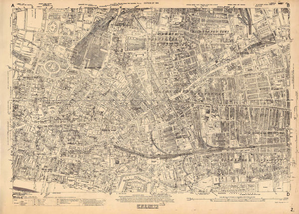
Ordnance Survey, East Central London, 1934 c.£ 1,150.00
-
-
Ordnance Survey, The City of London, Aldgate & Bishopsgate, 1936 c.£ 1,250.00
-
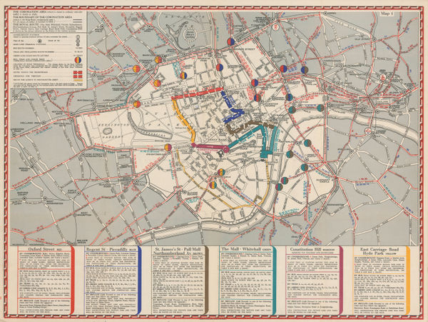
Geographia Ltd., The Coronation Area, 1937£ 450 (framed)
-
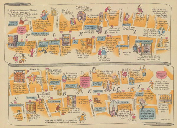
J.P. Sayer, Fleet Street, 1946£ 65.00
-
J.P. Sayer, The City of London, 1946Sold
-
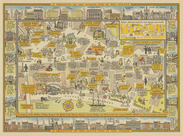
J.P. Sayer, The Strand - Waterloo Bridge to Temple Bar, 1946£ 95.00
-
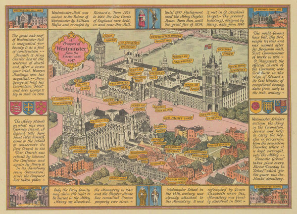
J.P. Sayer, Westminster, 1946£ 115.00
-
J.P. Sayer, Trafalgar Square - Before & After, 1946£ 88.00
-
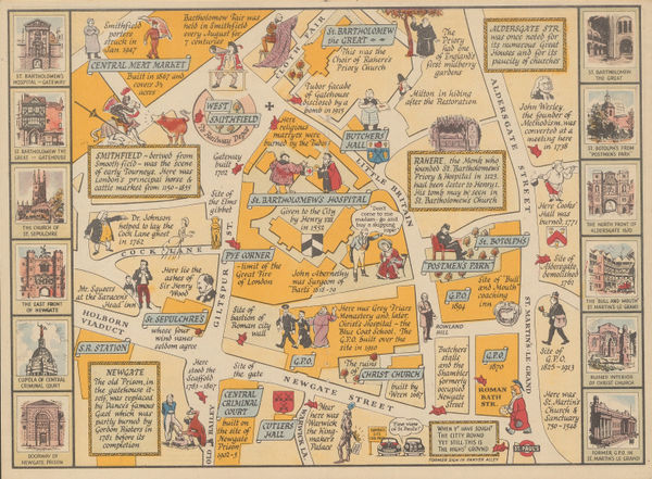
An Historical Description and Map of the District surrounding St. Bartholomew's Hospital, 1948J.P. SayerSeries: LondonJ.P. Sayer, An Historical Description and Map of the District surrounding St. Bartholomew's Hospital, 1948£ 42.00
-
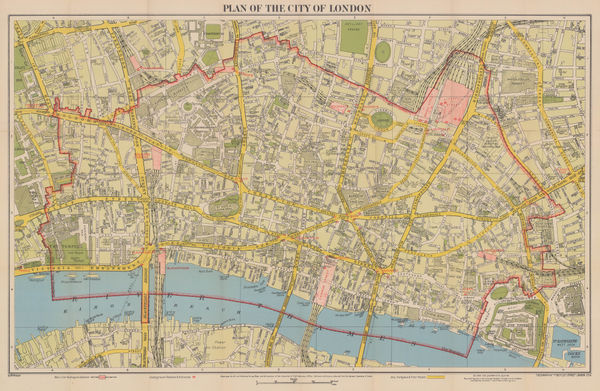
Geographia Ltd., Plan of the City of London, 1948 c.£ 365.00
-
M.R. Sherley, A Decorative Map of Tower Hill & District, 1949£ 495.00
-
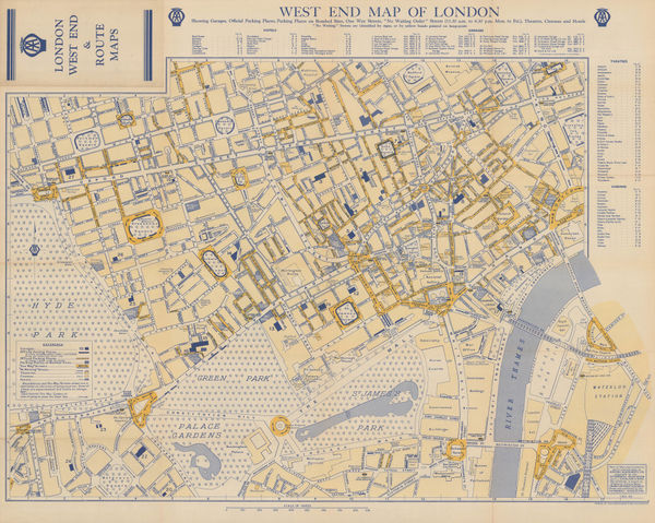
Automobile Association (AA), West End Map of London, 1950 c.£ 325.00
-
Geographia Ltd., Queen Elizabeth II's Coronation Route, 1953£ 495.00
-
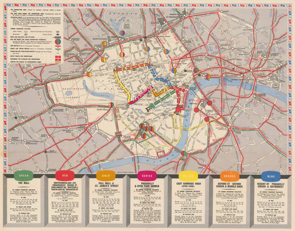
London Transport, Visitor's London Quad Royal Tube Map, 1963£ 1,850.00
All Maps
Our entire inventory of over 10,000 antique and vintage maps is now available to browse by region, date, cartographer, and subject


![John Tallis, [Blackfriars Rd], 1840 c.](https://static-assets.artlogic.net/w_600,c_limit,f_auto,fl_lossy,q_auto/artlogicstorage/themaphouse/images/view/3b1bd440ddfe2ce5d75946d0c0776cbcj/themaphouse-john-tallis-blackfriars-rd-1840-c..jpg)