
-
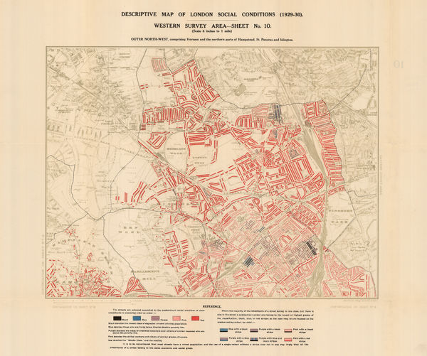
 Charles Booth, Descriptive Map of London Social Conditions (1929-1930), 1930£ 950.00
 -
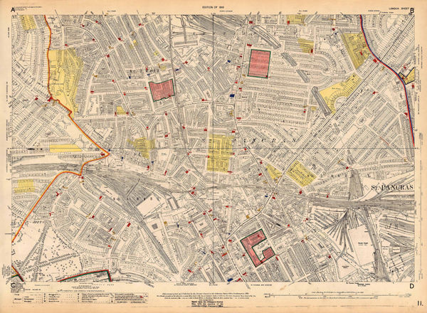
Ordnance Survey, Primrose Hill and St. Pancras, 1931 c.£ 825.00
-
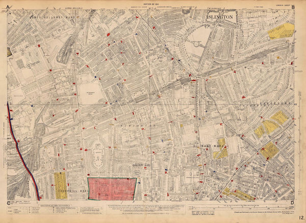
Ordnance Survey, Kings Cross and Angel, 1933 c.£ 1,150.00
-
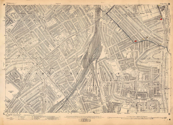
Ordnance Survey, Islington and Barnsbury, 1934 c.£ 925.00
-
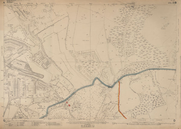
Ordnance Survey, Highbury, 1935 c.£ 795.00
-
Ordnance Survey, North Hampstead, 1935 c.£ 425.00
-
Ordnance Survey, Queens Park and Kensal Town, 1935 c.£ 625.00
-
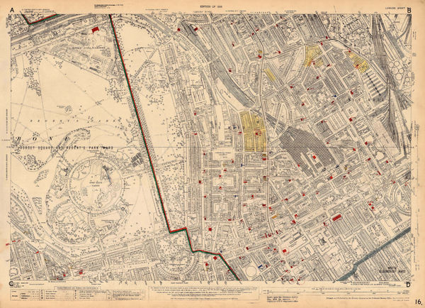
Ordnance Survey, Regents Park, 1935 c.£ 845.00
-
Ordnance Survey, Regents Park to Kings Cross, 1935 c.£ 845.00
-
Ordnance Survey, Belsize Park and Swiss Cottage, 1936 c.£ 925.00
-
Ordnance Survey, Parliament Hill Fields and Tufnell Park, 1936 c.£ 950.00
-
London Underground, Bakerloo Line Extension, 1939£ 225.00




Page
2
of 2
