-

-
Girolamo Ruscelli, Early woodcut map of the North Atlantic Ocean, 1574£ 985.00
-
Frederick De Wit, Chart of the western Atlantic, 1690 c.£ 2,275.00
-
Vincenzo Coronelli, Chart of the North Atlantic, 1692£ 2,750.00
-
Pierre Mortier, Chart of the South Atlantic, 1700£ 1,650.00
-
Pierre Mortier, Chart of the North Atlantic Ocean, 1700 c.£ 1,950.00
-
Jeremiah Seller, Chart of the Atlantic and the West Indies, 1703£ 1,750.00
-
Pieter van der Aa, The voyage of Hieronymous Benzo across the Atlantic, 1706£ 275.00
-
Pieter van der Aa, The Atlantic Ocean, South America, Africa, and Europe, 1707£ 455.00
-
Pieter van der Aa, Decorative map of the South Atlantic, 1707£ 295.00
-
Scarce and unusual map of English possessions along the North Atlantic coast, 1740 c.Emanuel BowenSeries: LondonEmanuel Bowen, Scarce and unusual map of English possessions along the North Atlantic coast, 1740 c.£ 1,800.00
-
Jacques-Nicolas Bellin, French sea chart of the South Atlantic, 1753£ 985.00
-
Jacques-Nicolas Bellin, French sea chart of the Atlantic Ocean, 1757£ 985.00
-
Depot de la Marine, French sea chart of the North Atlantic, 1775£ 825.00
-
Jacques-Nicolas Bellin, Chart of the North Atlantic Ocean, 1786£ 1,200.00
-
Laurie & Whittle, Chart of the South Atlantic, 1794£ 750.00
-
William Heather, Sea Chart of the South Atlantic & South America, 1799£ 2,250.00
-
Laurie & Whittle, Extraordinary chart of the Atlantic Ocean, 1802£ 4,450.00
-
Chart of the Atlantic based on the findings of the Malaspina-Bustamante Expedition, 1802Isidoro de AntillonSeries: MadridIsidoro de Antillon, Chart of the Atlantic based on the findings of the Malaspina-Bustamante Expedition, 1802£ 2,800.00
-
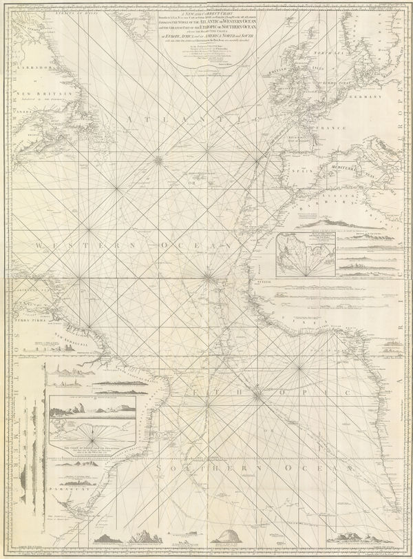
William Heather, Chart of the Atlantic Ocean, 1807£ 4,500.00
-
John Thomson, Atlantic Ocean with the suspected course of the Gulf Stream, 1820 c.£ 525.00
-
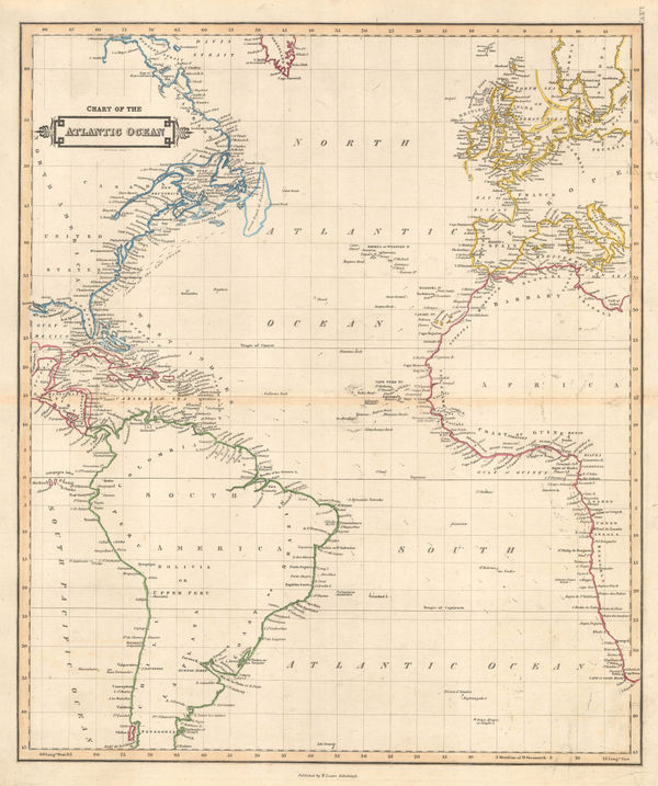
Daniel & William Lizars, Chart of the Atlantic Ocean, 1840 c.£ 145.00
-
Joseph Meyer, Bergsystem von Nord-America, 1848£ 295.00
-
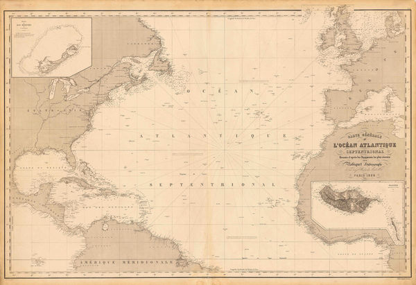
Aimé Robiquet, Chart of the North Atlantic Ocean, 1855£ 785.00
-
Surface Temperatures of the North Atlantic between Shetland & Greenland, 1870Royal Geographical Society (RGS)Series: LondonRoyal Geographical Society (RGS), Surface Temperatures of the North Atlantic between Shetland & Greenland, 1870£ 155.00
-
Sketch Map of the Countries Referred to in the Zeno Narrative, 1873Royal Geographical Society (RGS)Series: LondonRoyal Geographical Society (RGS), Sketch Map of the Countries Referred to in the Zeno Narrative, 1873£ 145.00
-
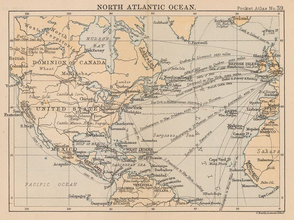
J.G. Bartholomew, North Atlantic Ocean, 1887£ 44.00
-
J.G. Bartholomew, South Atlantic Ocean, 1922£ 95.00
-
-
Her Majesty's Stationery Office (HMSO), The Bay Offensive, 1950 c.£ 125.00
-
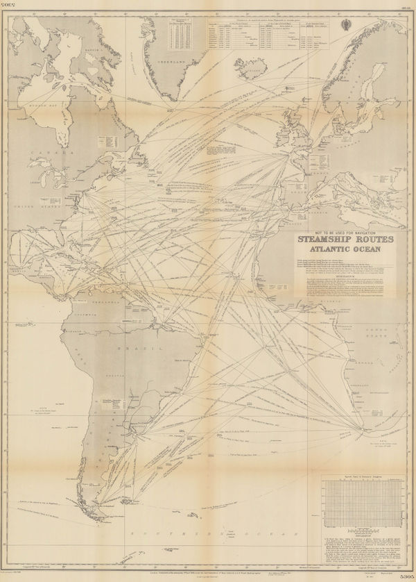
British Admiralty, Steamship Routes Atlantic Ocean, 1951£ 475.00
All Maps
Our entire inventory of over 10,000 antique and vintage maps is now available to browse by region, date, cartographer, and subject