-
 Martin Waldseemüller & Laurent Fries, West Africa, 1541£ 2,550.00
 -
Mercator Hondius, Dutch Golden Age map of Morocco, 1620 c£ 845.00
-
Samuel Purchas, Early map of Morocco, 1625£ 285.00
-
Samuel Purchas, Early map of southern Morocco, 1625£ 295.00
-
Willem & Jan Blaeu, Morocco orientated east to west, 1650 c.£ 925.00
-
Nicolas Sanson, Kingdom of Morocco, 1655£ 675.00
-
Olfert Dapper, Morocco orientated east to west, 1670£ 425.00
-
Robert Morden, Miniature map of Morocco, 1688£ 225.00
-
Johannes van Keulen, Chart of the Western coast of Morocco, 1690 c.£ 525.00
-
Nicolas & Guillaume Sanson, Southern Morocco, 1692£ 195.00
-
Johann Ulrich Muller, Northern Africa, 1692£ 145.00
-
Nicolas Sanson, Kingdom of Fez (northern Morocco), 1700£ 345.00
-
Nicolas & Guillaume Sanson, Southern Morocco and Western Sahara, 1700£ 325.00
-
Robert Morden, North & West Africa, 1702£ 175.00
-
Guillaume De L'Isle, North & West Africa, 1707£ 445.00
-
London Magazine, Morocco divided into the four historic kingdoms, 1760£ 85.00
-
Jacques-Nicolas Bellin, Morocco & Western Sahara, 1764£ 145.00
-
Emanuel Bowen, West Africa, 1766£ 645.00
-
Rigobert Bonne, Northwest Africa coast, Tangier to Sierra Leone, 1780 c.£ 90.00
-
Royal Geographical Society (RGS), Morocco and Marrakesh, 1831£ 395.00
-
Royal Geographical Society (RGS), Coast of Morocco and Western Sahara, 1836£ 65.00
-
Joseph Meyer, Morocco, 1844£ 195.00
-
Justus Perthes, Northern Morocco, 1865£ 68.00
-
Justus Perthes, French military expeditions in Morocco, 1872£ 68.00
-
North Africa or Barbary I - Marocco, 1875Society for the Diffusion of Useful Knowledge (SDUK)Series: LondonSociety for the Diffusion of Useful Knowledge (SDUK), North Africa or Barbary I - Marocco, 1875£ 185.00
-
Guido Cora, Italian city plan of Marrakech, 1884£ 325.00
-
Royal Geographical Society (RGS), Northwest Morocco showing desert tribes, 1889£ 95.00
-
Royal Geographical Society (RGS), Map of South Western Morocco, 1889£ 45.00
-
Arbuckle Brothers Company, Morocco, 1889£ 98.00
-
Nestor Larras, French Army Map of Casablanca and Environs, 1910£ 395.00
-
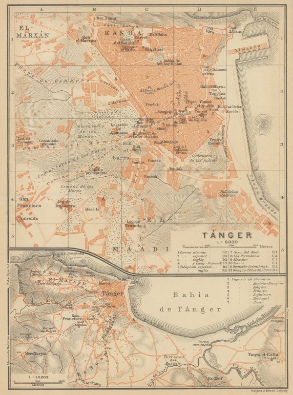
Karl Baedeker, Tourist plan of Tangier (Tanger), 1911£ 42.00
-
Louis Gentil, Geological map of Morocco, 1920£ 945.00
-
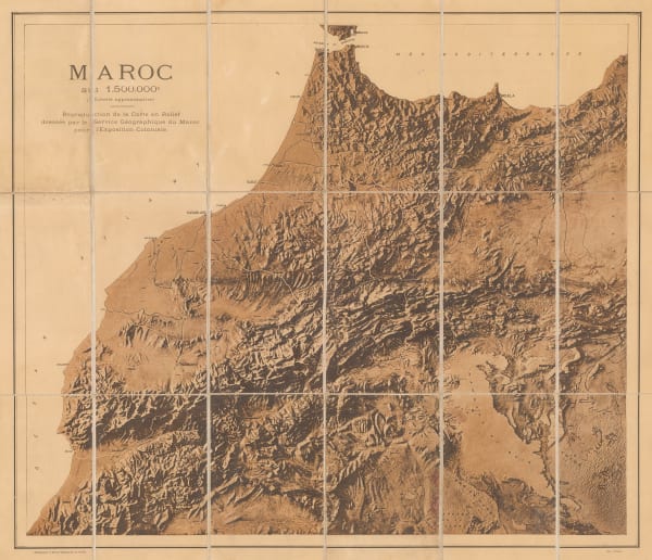
Service Géographique de l'Armée, Relief map of Morocco, 1920 c.£ 250.00
-
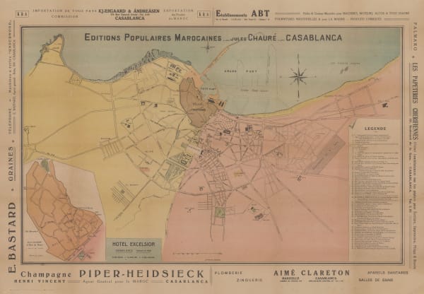
Jules Chaure, Tourist Map of Casablanca, Morocco, 1920 c.£ 445.00
-
Service Géographique de l'Armée, Southern Morocco, 1924£ 225.00
-
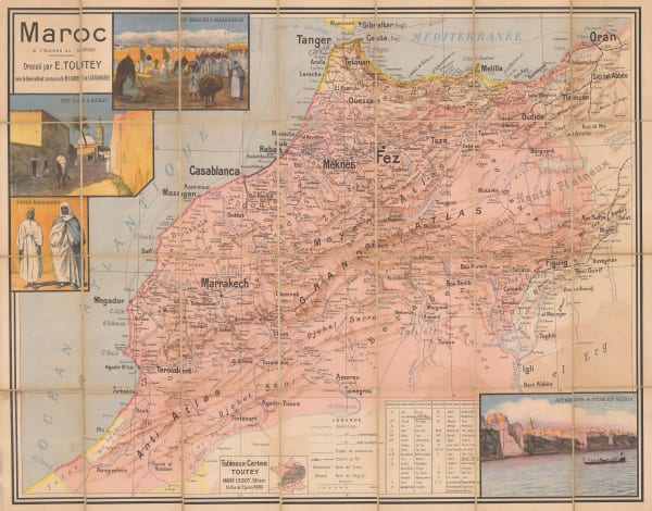
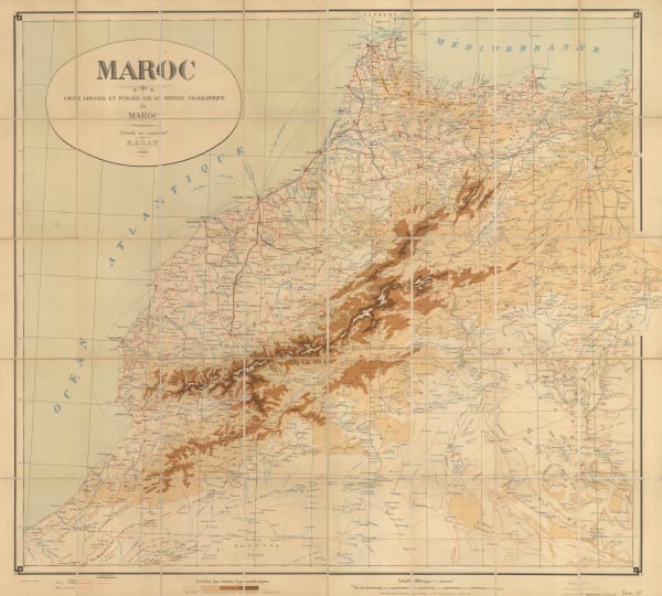
E. Toutey, Folding wall map of Morocco, 1925 c.£ 975.00
-
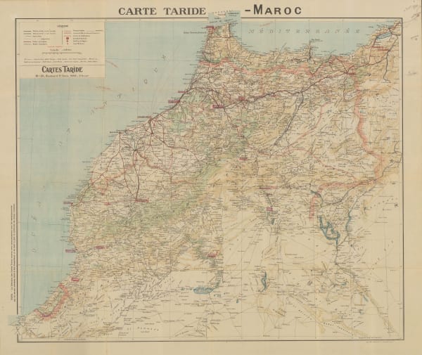
Cartes Tarides, Vintage folding map of Morocco, 1926 c.£ 545.00
-
Service Géographique de l'Armée, Folding vintage map of Morocco, 1930£ 375.00
-
Service Géographique de l'Armée, Vintage map of Marrakesh, 1930£ 475.00
-
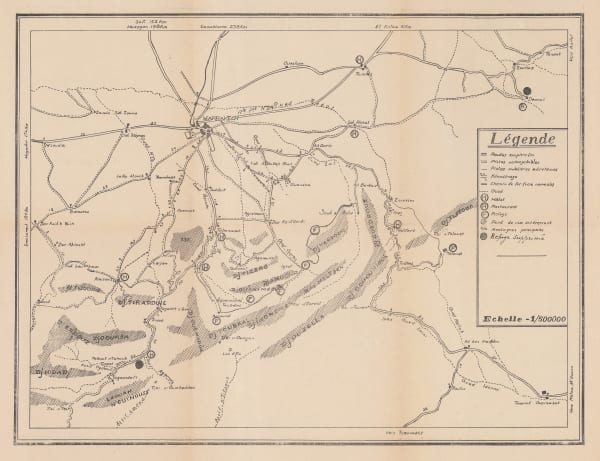
Anonymous, Environs of Marrakesh, 1930 c£ 68.00
-
Cartes Tarides, Morocco based on French army surveys, 1930 c.£ 595.00
-
Editions France Afrique, Vintage folding plan of Marrakesh, 1930 c.£ 845.00
-
Service Géographique de l'Armée, Vintage map of Western Morocco, 1932£ 325.00
-
Robert Genicot, Morocco, 1955£ 375.00
-
Jean Gaston Mantel, Vintage pictorial map of Morocco, 1958£ 575.00
-
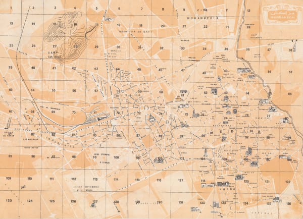
Anonymous, Marrakech, 1960 c.£ 345.00
Morocco
Our entire inventory of over 10,000 antique and vintage maps is now available to browse by region, date, cartographer, and subject