-
 Martin Waldseemüller & Laurent Fries, The Second Printed Map of Southern Africa, 1541£ 4,950.00
 -
Petrus Bertius, Africae pars meridional., 1616£ 495.00
-
Nicolas & Guillaume Sanson, Southern Africa, 1656£ 695.00
-
Athanasius Kircher, The Source of the Nile in the Mountains of the Moon, 1665£ 1,750.00
-
Alain Manesson Mallet, South Africa, 1683£ 295.00
-
Robert Morden, Southern & Central Africa, 1688£ 375.00
-
Pierre Duval, Southern & Central Africa, 1694£ 295.00
-
Nicolas de Fer, Southern & Central Africa, 1702£ 795.00
-
Covens (Jean) & Mortier (Cornelius), Southern & Central Africa, 1730 c.£ 1,250.00
-
Nicolas Sanson, Southern Africa and Madagascar, 1741£ 875.00
-
Jacob van der Schley, Chart of the coast of Angola, Namibia, and South Africa, 1747£ 175.00
-
Emanuel Bowen, A New & Accurate Map of the Southern Parts of Africa, 1747£ 695.00
-
Tobias Conrad Lotter, Southern Africa & the Cape of Good Hope, 1778£ 745.00
-
Rigobert Bonne, Southern Africa, 1790 c.£ 150.00
-
Charles Francois Delamarche, Southern & Central Africa, 1795£ 325.00
-
Francois Levaillant, South Africa, 1796£ 3,450.00
-
Adrien Brue, Southern Africa & the Cape Colony, 1828 c.£ 250.00
-
Royal Geographical Society (RGS), Outline Map of Southern Africa, 1833£ 82.00
-
Royal Geographical Society (RGS), Capt. Alexander's Route in South Africa, 1838£ 425.00
-
John Arrowsmith, Cape of Good Hope, 1842£ 850.00
-
Joseph Meyer, South Africa, 1846£ 225.00
-
James Wyld, South Africa, 1850 c.£ 1,275.00
-
Africa between 10 and 30 degree South Latitude. Map to illustrate the routes of Galton. Livingstone, Oswell and Gassiot, 1852Royal Geographical Society (RGS)Series: LondonRoyal Geographical Society (RGS), Africa between 10 and 30 degree South Latitude. Map to illustrate the routes of Galton. Livingstone, Oswell and Gassiot, 1852£ 495.00
-
Royal Geographical Society (RGS), Southern Central Africa, 1856£ 225.00
-
Royal Geographical Society (RGS), South Africa, 1858£ 145.00
-
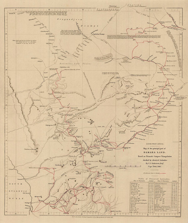
Royal Geographical Society (RGS), Map of the Principle Part of Damara Land, 1866£ 245.00
-
Map to illustrate Explorations in South Africa from Walvische Bay to Lake Ngami by C Andersson., 1874Royal Geographical Society (RGS)Series: LondonRoyal Geographical Society (RGS), Map to illustrate Explorations in South Africa from Walvische Bay to Lake Ngami by C Andersson., 1874£ 275.00
-
Royal Geographical Society (RGS), The Interior of South Africa, 1884£ 795.00
-
Justus Perthes, Geological Map of South Africa, 1888£ 95.00
-
George W. Bacon, Bacon's Large-Print Map of South Africa, 1890 c.£ 775.00
-
F.A. Brockhaus, German Colonies in Africa - Cameroon, Togo & Namibia, 1893£ 68.00
-
W & A.K. Johnstons Map to Illustrate the Transvaal Question, 1899W. & A.K. JohnstonSeries: Edinburgh & LondonW. & A.K. Johnston, W & A.K. Johnstons Map to Illustrate the Transvaal Question, 1899£ 445.00
-
Royal Geographical Society (RGS), South West Africa, 1910£ 285.00
-
George Philip & Son Ltd., Cape Colony & The Diamond Fields, 1910 c.£ 125.00
Namibia
Our entire inventory of over 10,000 antique and vintage maps is now available to browse by region, date, cartographer, and subject