-
 Karl Baedeker, Canada, 1900 c.£ 58.00
 -
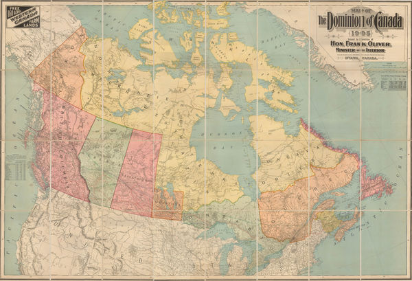
Frank Oliver, Map of the Dominion of Canada, 1905£ 3,950.00
-
Canadian Government, Map of natural resource of Canada, 1906£ 445.00
-
James White, Ethnographic map of Ontario and Quebec, 1906£ 225.00
-
James White, Northern Quebec, Labrador, and Hudson Bay, 1908£ 295.00
-
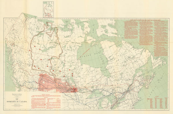
James White, Wheat growing areas of Canada, 1908£ 325.00
-
-
Edward Stanford, Railway Map of the US & Canada, 1913£ 1,450.00
-
John Bartholomew & Son, Dominion of Canada - Political, 1922£ 95.00
-
J.G. Bartholomew, Maritime Provinces and Newfoundland, 1922£ 95.00


Page
2
of 2