-
 Johannes van Keulen, Chart of the Lesser Antilles, 1700 c.£ 1,550.00
 -
 Christoph Weigel, The Lesser Antilles, 1720 c.£ 495.00
 -
 Covens (Jean) & Mortier (Cornelius), Chart of the Windward Islands, 1758 c.£ 795.00
 -
 Jacques-Nicolas Bellin, Chart of of St. Vincent, 1764£ 225.00
 -
 Jacques-Nicolas Bellin, Grenada, St Vincent & St Lucia, 1764£ 225.00
 -
 Jacques-Nicolas Bellin, Lesser Antilles, 1764£ 245.00
 -
 Thomas Jefferys, St Vincent from an Actual Survey, 1775£ 1,850.00
 -
 Georges-Louis Le Rouge, Isle St. Vincent, 1778£ 775.00
 -
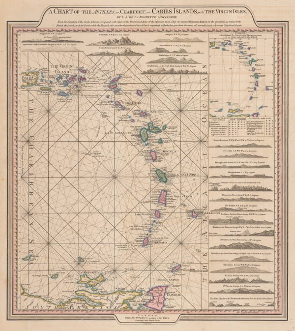
 William Faden, Leeward and Windward Islands, 1784£ 3,650.00
 -
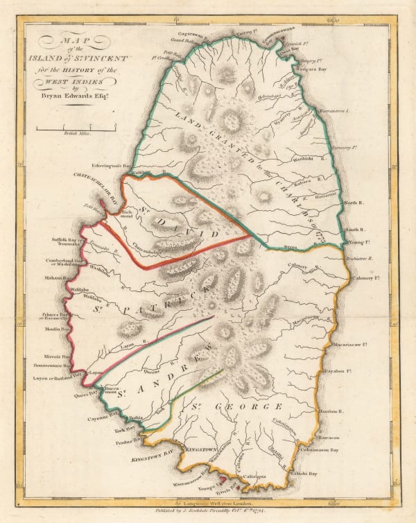
 Bryan Edwards, Map of the Island of St. Vincent, 1794£ 225.00
 -
 William Heather, Caribbean Islands from the Virgin Islands to Trinidad and Tobago, 1795£ 1,950.00
 -
 John Thomson, St. Vincent, 1814 c.£ 325.00
 -
 Geographical, Statistical and Historical map of The Windward Islands, 1822Carey & LeaSeries: PhiladelphiaCarey & Lea, Geographical, Statistical and Historical map of The Windward Islands, 1822£ 985.00
 -
 Philippe Vandermaelen, The Lesser Antilles, 1827£ 350.00
 -
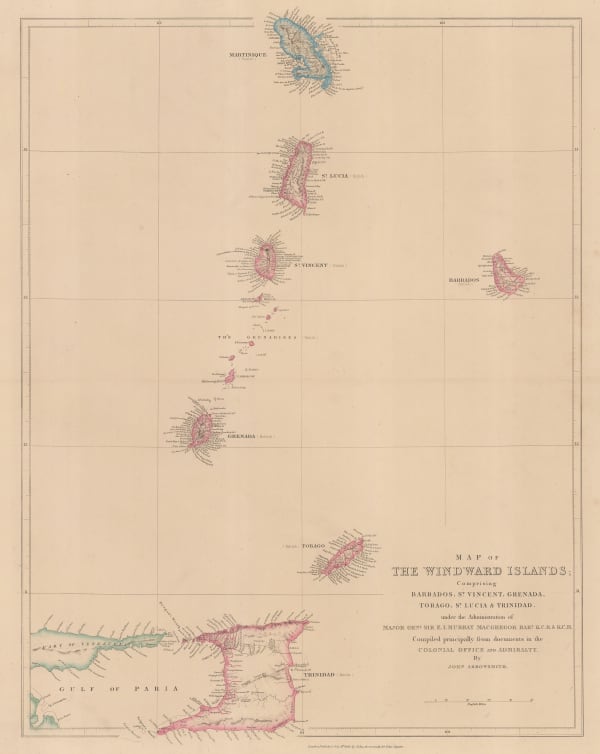
 John Arrowsmith, Windward Isles, 1842£ 495.00
 -
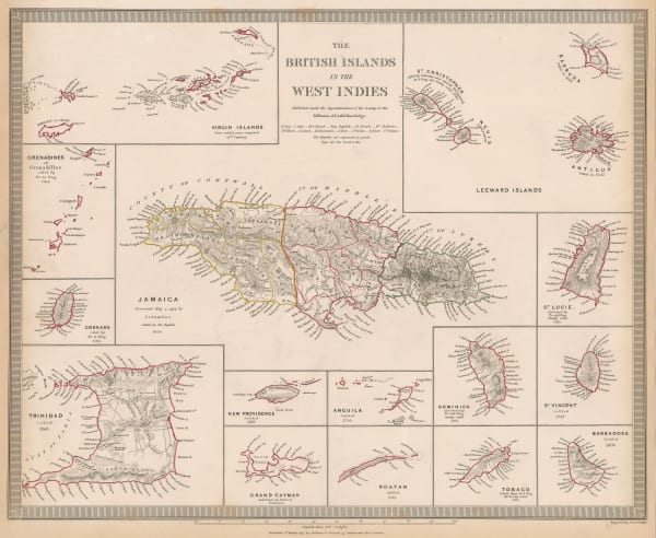
 British Islands in the Caribbean, 1844Society for the Diffusion of Useful Knowledge (SDUK)Series: LondonSociety for the Diffusion of Useful Knowledge (SDUK), British Islands in the Caribbean, 1844Reserved
 -
 Edward Stanford, Grenada, St. Vincent and Tobago, 1925 c.£ 32.00
 -
 British Admiralty, Chart of the Windward Islands from Guadeloupe to Trinidad, 1941£ 445.00
St Vincent & the Grenadines
Our entire inventory of over 10,000 antique and vintage maps is now available to browse by region, date, cartographer, and subject


