-
 Nicolas de Fer, Eastern Coast of North America, 1705£ 1,950.00
 -
-
Robert de Vaugondy, French Louisiana and the course of the Mississippi River, 1749£ 295.00
-
Jacques-Nicolas Bellin, Early map of Louisiana and the Mississippi Valley, 1750£ 445.00
-
Important German rendition of Bellin's seminal map of the Great Lakes, 1755Homann HeirsSeries: NurembergHomann Heirs, Important German rendition of Bellin's seminal map of the Great Lakes, 1755£ 3,650.00
-
Jacques-Nicolas Bellin, French Louisiana, 1764£ 395.00
-
Jacques-Nicolas Bellin, The Great Lakes, 1764£ 2,250.00
-
Jacques-Nicolas Bellin, Canada & New England, 1764£ 495.00
-
London Magazine, Louisiana, as formerly claimed by France, 1765£ 375.00
-
Rigobert Bonne, Ontario, the Great Lakes & the US Midwest, 1780 c£ 495.00
-
Matthew Carey, The Northwestern Territories of the United States, 1812£ 850.00
-
Morris Birkbeck, Early map of Ohio, Indiana and the Territory of Illinois, 1818£ 1,250.00
-
Philippe Vandermaelen, Minnesota, 1827£ 625.00
-
Philippe Vandermaelen, Indiana, Kentucky, Ohio and West Virginia, 1827£ 550.00
-
I.T. Hinton, Map of the United States of America and Nova Scotia, 1832£ 285.00
-
North America Sheet IV - Lake Superior, 1832Society for the Diffusion of Useful Knowledge (SDUK)Series: LondonSociety for the Diffusion of Useful Knowledge (SDUK), North America Sheet IV - Lake Superior, 1832£ 98.00
-
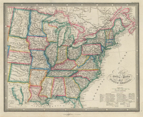
Adrien Brue, United States showing westward expansion, 1836£ 895.00
-
Enoch Steen, Dodge's Expedition through Kansas & Colorado, 1836£ 950.00
-
Map - Illustrating the plan of the defences of the Western & North-Western Frontier, 1837Washington HoodSeries: Washington, D.C.Washington Hood, Map - Illustrating the plan of the defences of the Western & North-Western Frontier, 1837£ 625.00
-
Samuel Augustus Mitchell, Midwestern United States, 1839£ 185.00
-
Hydrographical Basin of the Upper Mississippi River, 1843Joseph Nicolas NicolletSeries: Washington, D.C.Joseph Nicolas Nicollet, Hydrographical Basin of the Upper Mississippi River, 1843£ 3,450.00
-
Thomas Tegg, United States, 1843£ 55.00
-
Henry Teesdale, United States, 1847£ 345.00
-
Selina Hall, United States, 1850 c.£ 275.00
-
Map Illustrating the plan of the defences of the Western & North Western Frontier, 1861Washington HoodSeries: PhiladelphiaWashington Hood, Map Illustrating the plan of the defences of the Western & North Western Frontier, 1861£ 525.00
-
Archibald Fullarton, United States - The North Central Section, 1870 c.£ 75.00
-
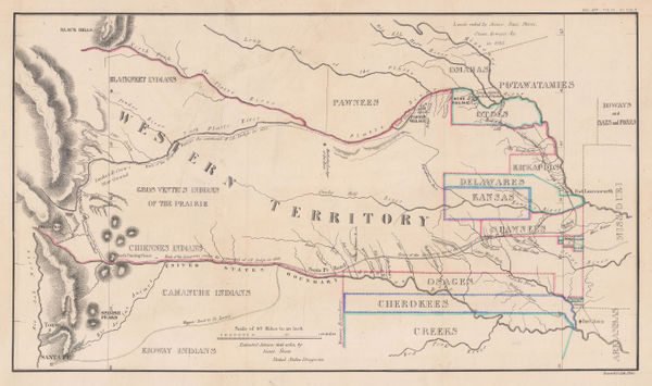
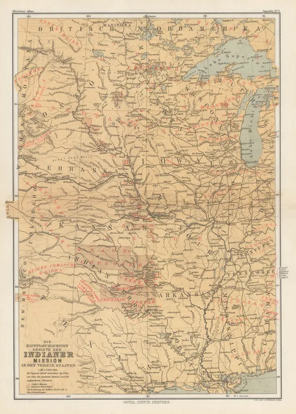
Justus Perthes, Indigenous Map of Central and Midwest USA, 1871£ 125.00
-
James Wyld, Map of the United States of North America, 1874£ 185.00
-
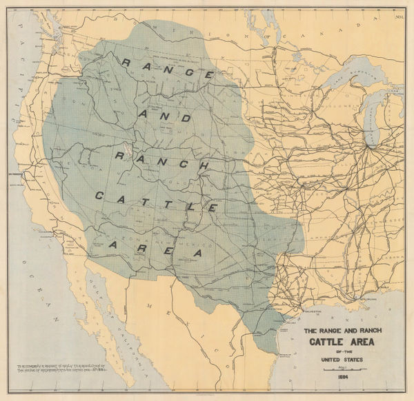
Julius Bien, The Range and Ranch Cattle Area of the United-States, 1884£ 1,650.00
-
Justus Perthes, Dakotas, Minnesota, Iowa, Nebraska and part of Wisconsin., 1885£ 85.00
-
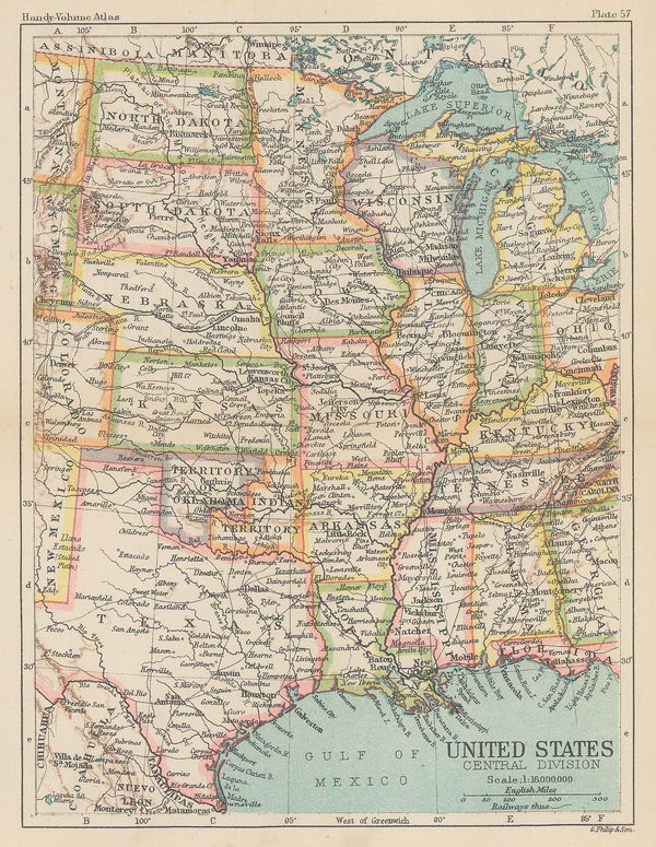
George Philip & Son Ltd., United States - Central Division, 1896£ 36.00
-
Indian Reservations West of the Mississippi River, 1919United States Geological Survey (USGS)Series: Washington, D.C.United States Geological Survey (USGS), Indian Reservations West of the Mississippi River, 1919£ 975.00
USA - Midwest
Our entire inventory of over 10,000 antique and vintage maps is now available to browse by region, date, cartographer, and subject