-
 Cornelis Wytfliet, Pacific Northwest, the Kingdom of Anian, 1607£ 3,250.00
 -
Russian Discoveries in Siberia, Alaska & the Bering Strait, 1750 c.Jacques-Nicolas BellinSeries: ParisJacques-Nicolas Bellin, Russian Discoveries in Siberia, Alaska & the Bering Strait, 1750 c.£ 725.00
-
Northwestern USA, Eastern Russia and the North Pacific, 1770 c.Johann Heinrich HeideggerSeries: ZurichJohann Heinrich Heidegger, Northwestern USA, Eastern Russia and the North Pacific, 1770 c.£ 795.00
-
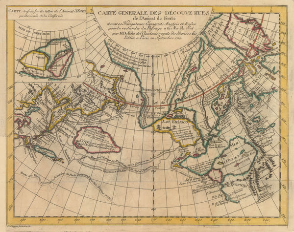
Robert de Vaugondy, West coast of North America, 1772£ 695.00
-
Robert Sayer, Russian Discoveries in Siberia, Alaska & the Bering Strait, 1775£ 1,325.00
-
Antonio Zatta, Alaska, the Pacific Northwest, and the Bering Strait, 1776£ 1,250.00
-
Tobias Conrad Lotter, James Cook's Voyage to the North Pacific & Bering Strait, 1781£ 2,750.00
-
Gerhard Friedrich Muller, Russian Discoveries in Siberia, Alaska & the Bering Strait, 1784£ 1,200.00
-
Jacques-Nicolas Bellin, North Pacific, Alaska & the Bering Strait, 1795 c£ 3,450.00
-
John Meares, The North Pacific Ocean, 1795 c.£ 675.00
-
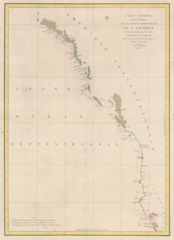
Comte de la Perouse's voyage, western coast of North America, 1797Jean Francois de La PerouseSeries: ParisJean Francois de La Perouse, Comte de la Perouse's voyage, western coast of North America, 1797£ 675.00
-
Count Jean-Francois de la Perouse, Chart of the North Pacific, 1797£ 750.00
-
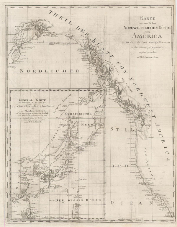
Daniel Friedrich Sotzmann, North West Pacific coast of America, 1800£ 795.00
-
Christian Gottlieb Reichard, Chart of the North Pacific Ocean, 1804£ 785.00
-
William Faden, James Cook's Voyage to Alaska & the Bering Strait, 1808£ 2,850.00
-
John Thomson, Chart of the North Pacific and Behring Straits, 1816£ 525.00
-
Philippe Vandermaelen, Kodiak Island and the coast of Alaska, 1825£ 100.00
-
Philippe Vandermaelen, Alaska Peninsula, Unimak Isle, St. George and St. Paul, 1825£ 100.00
-
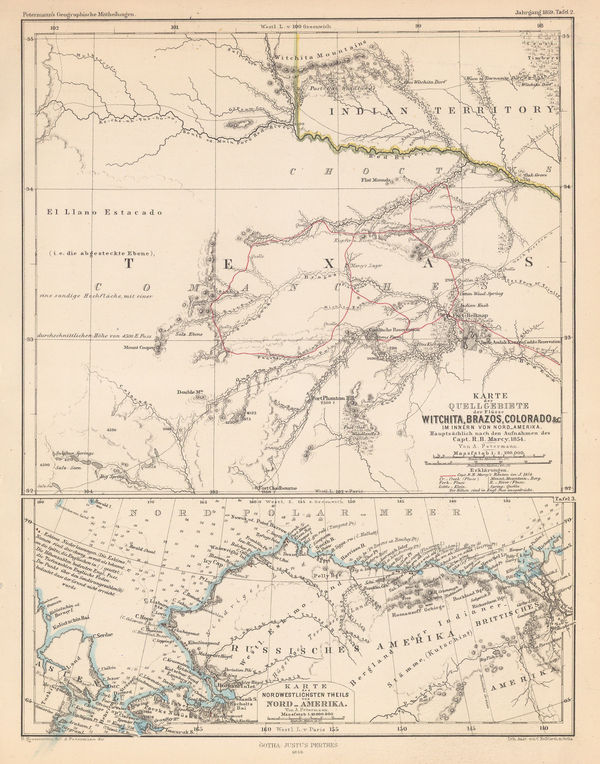
Justus Perthes, North Texas & Alaska, 1859£ 125.00
-
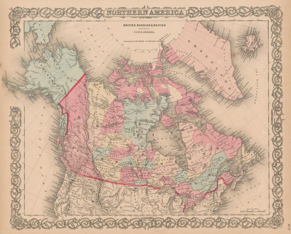
Joseph Hutchins Colton, Canada, Alaska & Greenland, 1861£ 195.00
-
Royal Geographical Society (RGS), Map of the Yukon, or Kwich-Pak River, 1868£ 245.00
-
Justus Perthes, Arctic Russia, Wrangel Island & the Bering Strait, 1869£ 125.00
-
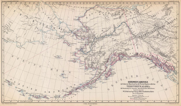
Justus Perthes, Alaska, 1869£ 295.00
-
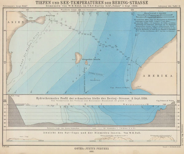
Justus Perthes, Bering Strait, 1881£ 115.00
-
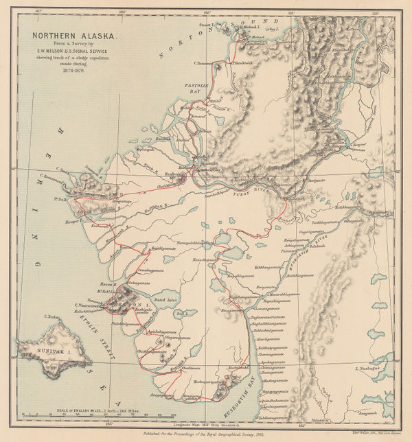
Royal Geographical Society (RGS), Northern Alaska, 1882£ 225.00
-
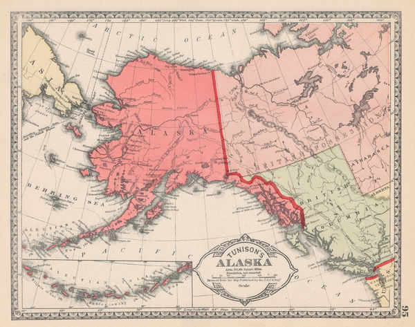
Henry Cuthbert Tunison, Alaska, 1882£ 95.00
-
Royal Geographical Society (RGS), Yahtse-Tah-Shah or Mt. St. Elias, 1889£ 125.00
-
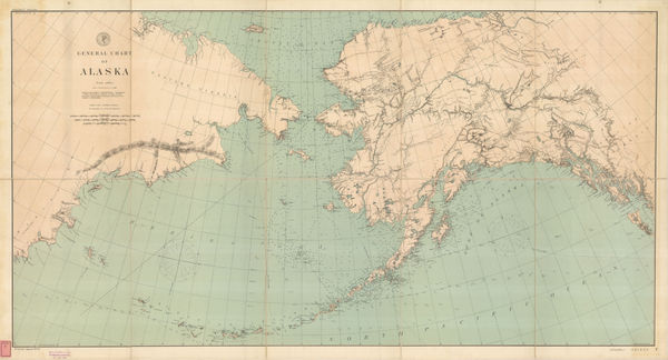
Thomas Corwin Mendenhall, General Chart of Alaska, 1892£ 1,275.00
-
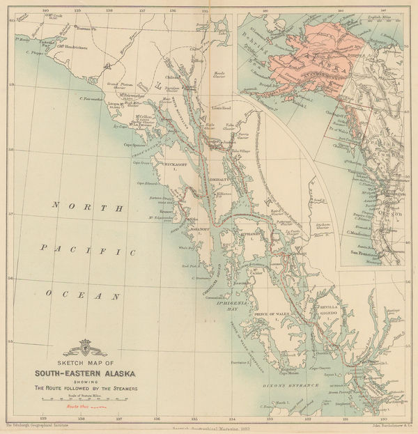
Scottish Geographical Society (SGS), Sketch Map of South-Eastern Alaska, 1893£ 98.00
-
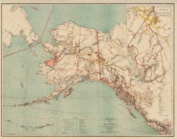
Harry King, Map of Alaska, 1898£ 645.00
-
The North-Western Part of the Dominion of Canada, 1898Royal Geographical Society (RGS)Series: LondonRoyal Geographical Society (RGS), The North-Western Part of the Dominion of Canada, 1898£ 495.00
-
Map to Illustrate Major E.W. Nesham's Paper on the Alaska Boundary Demarcation, 1927Royal Geographical Society (RGS)Series: LondonRoyal Geographical Society (RGS), Map to Illustrate Major E.W. Nesham's Paper on the Alaska Boundary Demarcation, 1927£ 85.00
-
Ernest Dudley Chase, A Pictorial Map of Alaska, the 49th State, 1959£ 850.00
Alaska
Our entire inventory of over 10,000 antique and vintage maps is now available to browse by region, date, cartographer, and subject