-
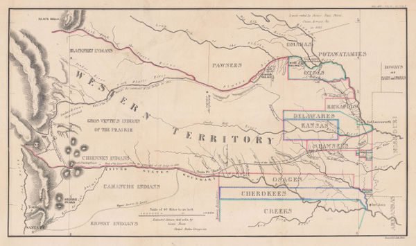
 Enoch Steen, Dodge's Expedition through Kansas & Colorado, 1836£ 950.00
 -
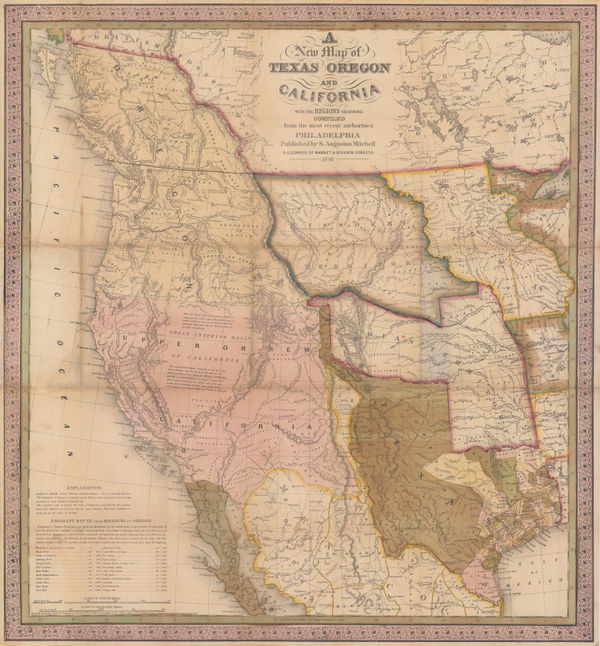
Map of an Exploring Expedition to the Rocky Mountains in the Year 1842 and to Oregon & North California in the Years 1845-44, 1845John C. FremontSeries: Washington, D.C.John C. Fremont, Map of an Exploring Expedition to the Rocky Mountains in the Year 1842 and to Oregon & North California in the Years 1845-44, 1845£ 3,950.00
-
-
-
Map No.3 - From the Santa Fe Crossing to the Coo Che To Pa Pass, 1855United States Pacific Railroad Expeditions (USPRR)Series: Washington, D.C.United States Pacific Railroad Expeditions (USPRR), Map No.3 - From the Santa Fe Crossing to the Coo Che To Pa Pass, 1855£ 525.00
-
Map of Explorations and Surveys in New Mexico and Utah, 1864Capt. John Navarre MacombSeries: New YorkCapt. John Navarre Macomb, Map of Explorations and Surveys in New Mexico and Utah, 1864£ 2,750.00
-
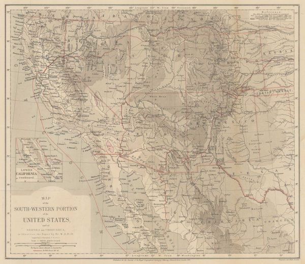
Map of the South-Western Portion of the United States, 1870Royal Geographical Society (RGS)Series: LondonRoyal Geographical Society (RGS), Map of the South-Western Portion of the United States, 1870£ 375.00
-
Alvin J. Johnson, Western States of the USA, 1870 c£ 645.00
-
Justus Perthes, Topographical map of south western USA, 1881£ 275.00
-
O.W. Gray & Son, Colorado, 1881£ 395.00
-
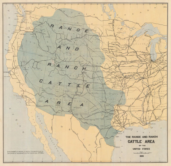
Julius Bien, The Range and Ranch Cattle Area of the United-States, 1884£ 1,650.00
-
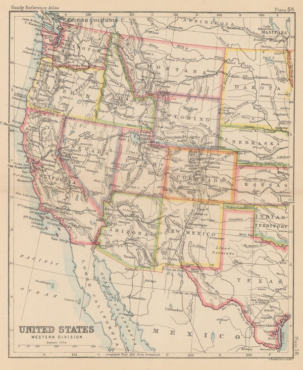
John Bartholomew, United States Western Division, 1887£ 62.00
-
G.W. & C.B. Colton & Co., Atchison, Topeka and Santa Fe Railroad System, 1889£ 595.00
-
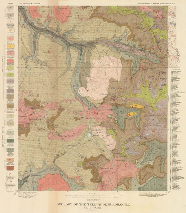
Geology of the Telluride Quadrangle Colorado, 1896United States Geological Survey (USGS)Series: New YorkUnited States Geological Survey (USGS), Geology of the Telluride Quadrangle Colorado, 1896£ 495.00
-
Where to Go and How to Get There Map of Colororado Springs and Colorado City, 1901Gilbert McClurgSeries: Colorado SpringsGilbert McClurg, Where to Go and How to Get There Map of Colororado Springs and Colorado City, 1901£ 445.00
-
Kenyon Printing & Mfg. Co., Map of Colorado, 1902£ 275.00
-
Rand, McNally & Co., Colorado, 1904£ 395.00
-
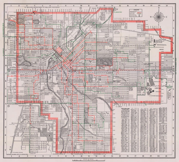
C. N. Hoover, Map of the City of Denver, 1906£ 950.00
-
Karl Baedeker, Colorado Springs - Pike's Peak, 1909£ 58.00
-
Karl Baedeker, Denver, 1909£ 86.00
-
Clason Map Co., Prospector's Guide of Colorado, 1920 c.£ 425.00
-
Boulder Chamber of Commerce, City Map - Boulder, Colorado, 1930 c.£ 125.00
-
Elmer & Berta Hader, Colorado and Wyoming, 1932£ 95.00
-
Fred Harvey, Illustrated Map of the Great Southwest, 1946£ 395.00
-
Bradford-Robinson Printing Co., Colorful Colorado, 1946£ 495.00
-
Daniel-Smith Co., Denver, 1950 c£ 225.00
-
Daniel-Smith Co., Guide Map of Metropolitan Denver, 1950 c.£ 295.00
-
Map of the City of Colorado Springs and Surroundings, 1950 c.Hotchkiss Mapping CompanySeries: DenverHotchkiss Mapping Company, Map of the City of Colorado Springs and Surroundings, 1950 c.£ 395.00
Colorado
Our entire inventory of over 10,000 antique and vintage maps is now available to browse by region, date, cartographer, and subject