-
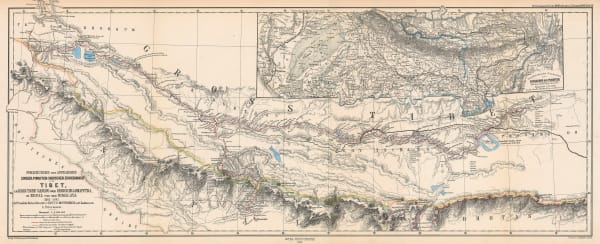
 Justus Perthes, Tibet, 1868£ 475.00
 -
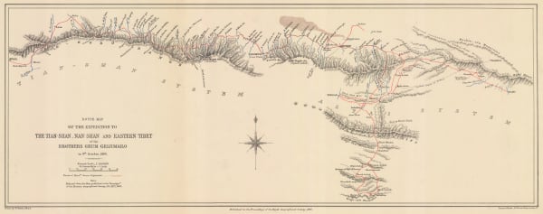
Map Showing Routes of Native Explorers in Tibet and Nepal, 1875Royal Geographical Society (RGS)Series: LondonRoyal Geographical Society (RGS), Map Showing Routes of Native Explorers in Tibet and Nepal, 1875£ 745.00
-
Map Illustrating the Journey of the Pundit Nain Singh through Great Tibet, 1877Royal Geographical Society (RGS)Series: LondonRoyal Geographical Society (RGS), Map Illustrating the Journey of the Pundit Nain Singh through Great Tibet, 1877£ 395.00
-
Royal Geographical Society (RGS), Map of Tibet, 1887£ 395.00
-
Royal Geographical Society (RGS), Tianshan Mountains, 1891£ 150.00
-
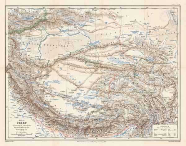
Royal Geographical Society (RGS), Tibet and the Surrounding Regions, 1894£ 795.00
-
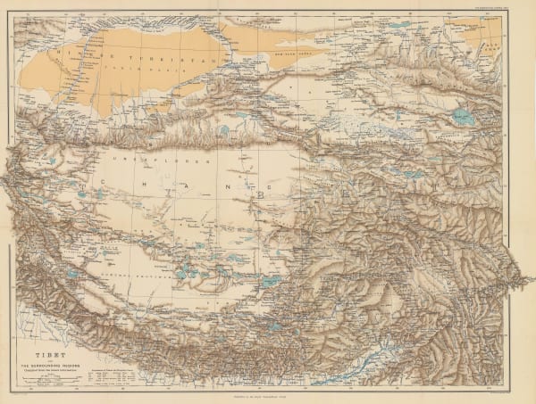
Royal Geographical Society (RGS), Part of Tibet and Sin-Chiang, 1900£ 545.00
-
Tibet, Map showing Explorations by Major C. H. D. Ryder RE DSO and Captains H. Wood RE & H. W. Cowie RE of the Tibet Frontier Commission 1904, 1905Royal Geographical Society (RGS)Series: LondonRoyal Geographical Society (RGS), Tibet, Map showing Explorations by Major C. H. D. Ryder RE DSO and Captains H. Wood RE & H. W. Cowie RE of the Tibet Frontier Commission 1904, 1905£ 375.00
-
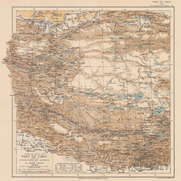
Royal Geographical Society (RGS), Sketch Map of Tibet, 1909£ 325.00
-
Part of the North-Eastern Frontier and Tibet showing the routes of Captains Morshead and Bailey 1913, 1914Royal Geographical Society (RGS)Series: LondonRoyal Geographical Society (RGS), Part of the North-Eastern Frontier and Tibet showing the routes of Captains Morshead and Bailey 1913, 1914£ 285.00
-
Preliminary Map to Illustrate the Route of the Mount Everest Expedition, 1922Royal Geographical Society (RGS)Series: LondonRoyal Geographical Society (RGS), Preliminary Map to Illustrate the Route of the Mount Everest Expedition, 1922£ 675.00
-
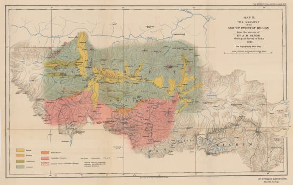
Royal Geographical Society (RGS), The Geology of the Mount Everest Region, 1922£ 675.00
-
The Route of the Mount Everest Expedition 1922, Chumbi to Mt. Everest from the maps of the 1921 Expedition, 1922Royal Geographical Society (RGS)Series: LondonRoyal Geographical Society (RGS), The Route of the Mount Everest Expedition 1922, Chumbi to Mt. Everest from the maps of the 1921 Expedition, 1922£ 675.00
-
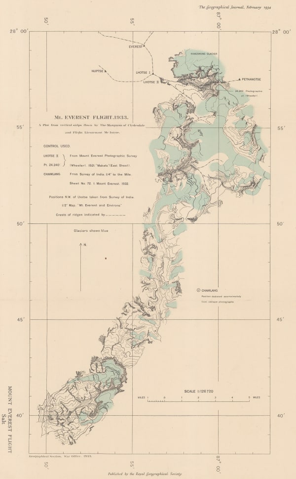
Royal Geographical Society (RGS), The First Overflight of Mt. Everest, 1934£ 185.00
-
Ordnance Survey, Mount Everest and the Group of Chomo Lungma, 1934£ 1,500.00
-
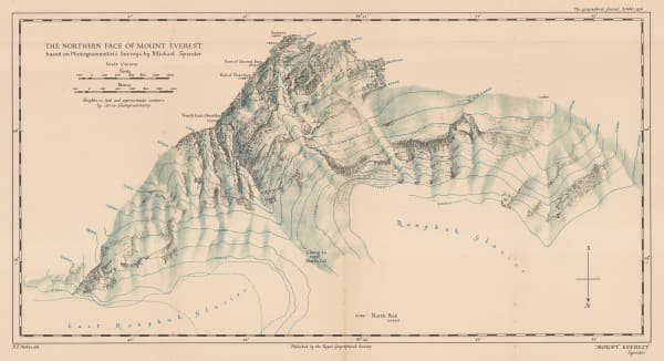
Royal Geographical Society (RGS), The Northern Face of Mount Everest, 1936£ 675.00
Tibet
Our entire inventory of over 10,000 antique and vintage maps is now available to browse by region, date, cartographer, and subject