-
 Enoch Steen, Dodge's Expedition through Kansas & Colorado, 1836£ 950.00
 -
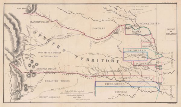
Map - Illustrating the plan of the defences of the Western & North-Western Frontier, 1837Washington HoodSeries: Washington, D.C.Washington Hood, Map - Illustrating the plan of the defences of the Western & North-Western Frontier, 1837£ 625.00
-
Hydrographical Basin of the Upper Mississippi River, 1843Joseph Nicolas NicolletSeries: Washington, D.C.Joseph Nicolas Nicollet, Hydrographical Basin of the Upper Mississippi River, 1843£ 3,450.00
-
Map of an Exploring Expedition to the Rocky Mountains in the Year 1842 and to Oregon & North California in the Years 1845-44, 1845John C. FremontSeries: Washington, D.C.John C. Fremont, Map of an Exploring Expedition to the Rocky Mountains in the Year 1842 and to Oregon & North California in the Years 1845-44, 1845£ 3,950.00
-
George Woolworth Colton, Kansas and Nebraska, 1857 c.£ 185.00
-
Map Illustrating the plan of the defences of the Western & North Western Frontier, 1861Washington HoodSeries: PhiladelphiaWashington Hood, Map Illustrating the plan of the defences of the Western & North Western Frontier, 1861£ 525.00
-
General Land Office (GLO), Map showing the progress of the Surveys in Kansas and Nebraska, 1866£ 595.00
-
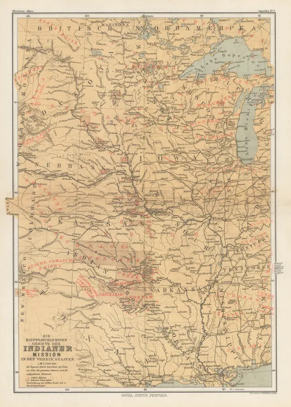
Justus Perthes, Indigenous Map of Central and Midwest USA, 1871£ 125.00
-
G.W. & C.B. Colton & Co., Atchison, Topeka and Santa Fe Railroad System, 1889£ 595.00
-
Arbuckle Brothers Company, Kansas, 1889£ 125.00
-
General Land Office (GLO), State of Kansas, 1891£ 750.00
-
Perry Mason & Co., Kansas, 1891£ 125.00
-
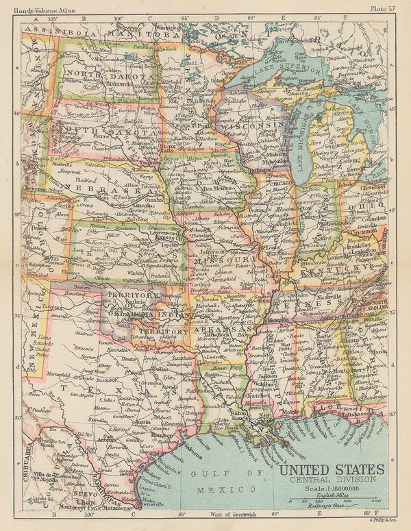
George Philip & Son Ltd., United States - Central Division, 1896£ 36.00
-
George Cram, Kansas, 1897£ 195.00
-
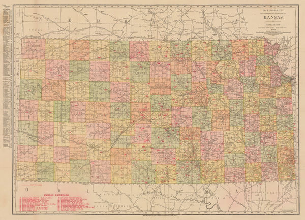
Rand, McNally & Co., New Commercial Atlas Map of Kansas, 1914£ 295.00
-
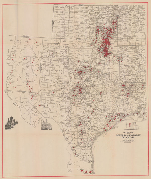
F.E. Gallup, Map of the Central-Southern Oil Fields, 1920£ 3,450.00
-
Elmer & Berta Hader, Kansas and Nebraska, 1932£ 85.00
-
Gallup Map and Art Co., Pocket Map of Greater Kansas City, 1955 c£ 475.00
Kansas
Our entire inventory of over 10,000 antique and vintage maps is now available to browse by region, date, cartographer, and subject