-
 Important German rendition of Bellin's seminal map of the Great Lakes, 1755Homann HeirsSeries: NurembergHomann Heirs, Important German rendition of Bellin's seminal map of the Great Lakes, 1755£ 3,650.00
 -
Jacques-Nicolas Bellin, The Great Lakes, 1764£ 2,250.00
-
Rigobert Bonne, Great Lakes, 1780 c£ 495.00
-
Matthew Carey, The Northwestern Territories of the United States, 1812£ 850.00
-
Morris Birkbeck, Early map of Ohio, Indiana and the Territory of Illinois, 1818£ 1,250.00
-
Geographical, Statistical and Historical Map of Michigan Territory, 1822Carey & LeaSeries: PhiladelphiaCarey & Lea, Geographical, Statistical and Historical Map of Michigan Territory, 1822£ 1,850.00
-
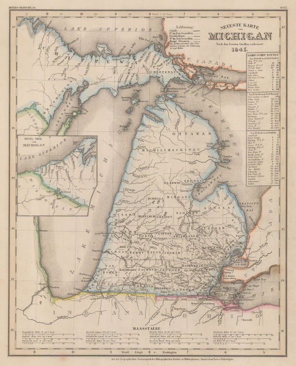
Joseph Meyer, Michigan, 1845£ 345.00
-
General Land Office (GLO), Sketch of the Public Surveys of Michigan, 1845£ 155.00
-
Samuel Augustus Mitchell, A New Map of Michigan, 1846£ 485.00
-
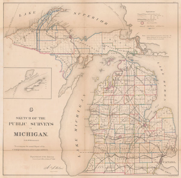
General Land Office (GLO), Sketch of the Public Surveys of Michigan, 1850£ 155.00
-
Joseph Hutchins Colton, Lake Superior and the Northern Part of Michigan, 1855£ 185.00
-
Joseph Hutchins Colton, Michigan, 1861£ 295.00
-
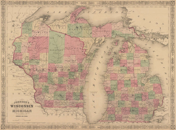
Johnson & Ward, Johnson's Wisconsin and Michigan, 1864£ 325.00
-
General Land Office (GLO), Michigan, 1866£ 850.00
-
Archibald Fullarton, United States - The North Central Section, 1870 c.£ 75.00
-
North America: Parts of Wisconsin and Michigan, 1879Society for the Diffusion of Useful Knowledge (SDUK)Series: LondonSociety for the Diffusion of Useful Knowledge (SDUK), North America: Parts of Wisconsin and Michigan, 1879£ 245.00
-
O.W. Gray & Son, Michigan, 1881£ 575.00
-
County and Township Map of the States of Michigan and Wisconsin, 1882Samuel Augustus MitchellSeries: PhiladelphiaSamuel Augustus Mitchell, County and Township Map of the States of Michigan and Wisconsin, 1882£ 140.00
-
Henry Cuthbert Tunison, Michigan, 1882£ 95.00
-
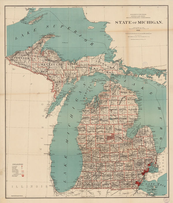
General Land Office (GLO), State of Michigan, 1888£ 985.00
-
Arbuckle Brothers Company, Michigan, 1889£ 145.00
-
Letts & Son, Michigan, Wisconsin and Lake Michigan, 1892£ 95.00
-
Karl Baedeker, Detroit, 1909£ 75.00
-
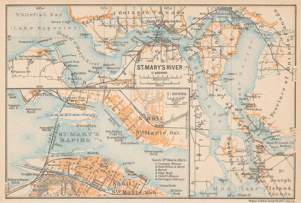
Karl Baedeker, Sault Ste. Marie, 1909£ 48.00
-
Federal Lithograph Company, Federal Map of Detroit and environs, 1927£ 485.00
Michigan
Our entire inventory of over 10,000 antique and vintage maps is now available to browse by region, date, cartographer, and subject