-
 Enoch Steen, Dodge's Expedition through Kansas & Colorado, 1836£ 950.00
 -
Map - Illustrating the plan of the defences of the Western & North-Western Frontier, 1837Washington HoodSeries: Washington, D.C.Washington Hood, Map - Illustrating the plan of the defences of the Western & North-Western Frontier, 1837£ 625.00
-
Hydrographical Basin of the Upper Mississippi River, 1843Joseph Nicolas NicolletSeries: Washington, D.C.Joseph Nicolas Nicollet, Hydrographical Basin of the Upper Mississippi River, 1843£ 3,450.00
-
-
George Woolworth Colton, Kansas and Nebraska, 1857 c.£ 185.00
-
Map Illustrating the plan of the defences of the Western & North Western Frontier, 1861Washington HoodSeries: PhiladelphiaWashington Hood, Map Illustrating the plan of the defences of the Western & North Western Frontier, 1861Sold
-
Johnson & Ward, Johnson's Iowa and Nebraska, 1863£ 150.00
-
Johnson & Ward, Johnson's Iowa and Nebraska, 1864£ 295.00
-
General Land Office (GLO), Map showing the progress of the Surveys in Kansas and Nebraska, 1866£ 595.00
-
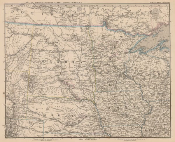
Die Hauptsaechlichsten Gebiete Der Indianer Mission in den Verein Staaten, 1871Justus PerthesSeries: GothaJustus Perthes, Die Hauptsaechlichsten Gebiete Der Indianer Mission in den Verein Staaten, 1871£ 125.00
-
Justus Perthes, Dakotas, Minnesota, Iowa, Nebraska and part of Wisconsin., 1885£ 85.00
-
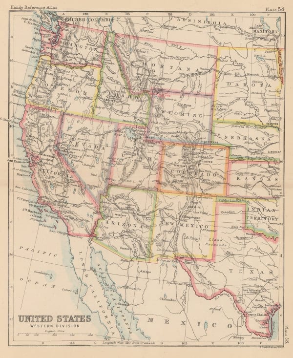
John Bartholomew, United States Western Division, 1887Sold
-
Arbuckle Brothers Company, Nebraska, 1889£ 96.00
-
Perry Mason & Co., Nebraska, 1891£ 115.00
-
George Philip & Son Ltd., United States - Central Division, 1896£ 36.00
-
Old Mill Cigarettes, [Nebraska], 1910 c.£ 68.00
-
Elmer & Berta Hader, Kansas and Nebraska, 1932£ 85.00
Nebraska
Our entire inventory of over 10,000 antique and vintage maps is now available to browse by region, date, cartographer, and subject


![Old Mill Cigarettes, [Nebraska], 1910 c.](https://artlogic-res.cloudinary.com/w_600,c_limit,f_auto,fl_lossy,q_auto/artlogicstorage/themaphouse/images/view/719da3221d805e611ef458264a9f9958j/themaphouse-old-mill-cigarettes-nebraska-1910-c..jpg)
