-
 Jodocus Hondius, Southeast coast of the United States, 1619£ 2,250.00
 -
Mercator Hondius, North and South Carolina, Virginia and Georgia, 1621£ 925.00
-
Willem & Jan Blaeu, Southern Virginia, North and South Carolina and Georgia, 1650 c.£ 1,950.00
-
Jan Jansson, South-eastern coast of USA , 1666£ 1,950.00
-
John Ogilby, Georgia & the Carolinas, 1670 c.£ 1,750.00
-
John Speed, North and South Carolina, 1676£ 3,950.00
-
Robert Morden, North and South Carolina, 1688£ 875.00
-
Pierre Mortier, Uncommon map of North and South Carolina, 1700£ 3,200.00
-
Valk & Schenk, New England and Virginia, 1710 c.£ 2,300.00
-
Pieter van der Aa, Virginia, North and South Carolina and northern Florida, 1714£ 1,950.00
-
Johann Baptist Homann, Virginia, Maryland and Carolina, 1714 c.£ 3,250.00
-
Homann Heirs, Florida, Georgia, North Carolina, and South Carolina, 1740 c.£ 495.00
-
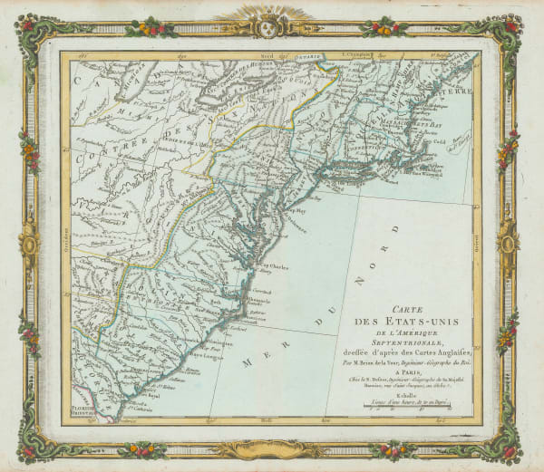
Jacques-Nicolas Bellin, Georgia and North and South Carolina, 1757£ 675.00
-
London Magazine, A New Map of the Cherokee Nation, 1760£ 2,250.00
-
Louis Brion de la Tour, Eastern Coast of North America, 1766£ 495.00
-
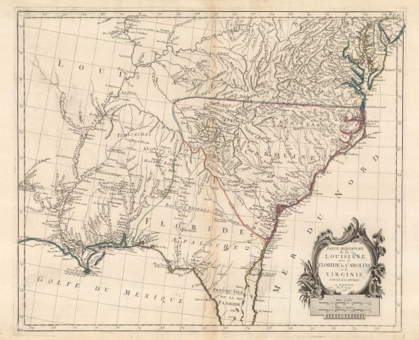
Francois Santini, Louisiana, Florida and the Carolinas, 1776£ 985.00
-
Antoine de Sartine, Chart of the coast from New Jersey to Georgia, 1778£ 3,950.00
-
Rigobert Bonne, North and South Carolina and Georgia, 1780 c.£ 285.00
-
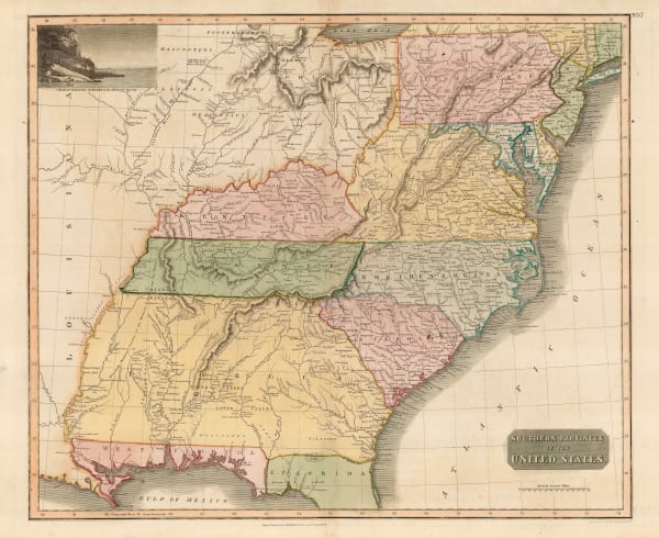
A New and General Map of the Southern Dominions Belonging to The United States of America, 1794Laurie & WhittleSeries: LondonLaurie & Whittle, A New and General Map of the Southern Dominions Belonging to The United States of America, 1794£ 3,500.00
-
A Map of the States of Virginia, North Carolina, South Carolina and Georgia, 1795Joseph PurcellSeries: EdinburghJoseph Purcell, A Map of the States of Virginia, North Carolina, South Carolina and Georgia, 1795£ 1,925.00
-
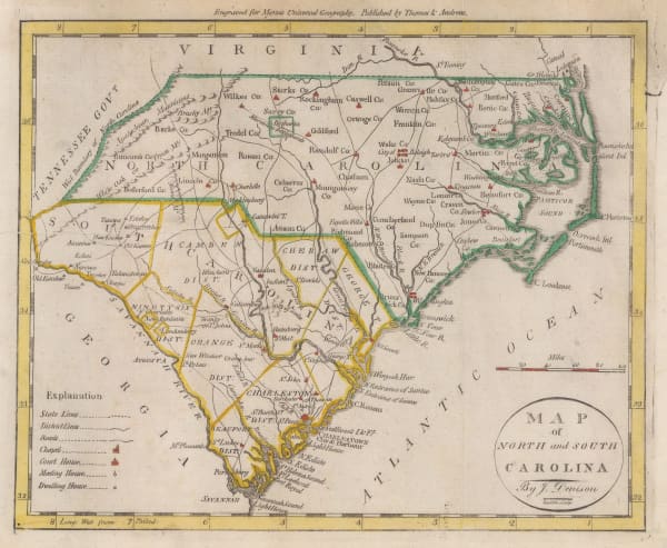
J. Denison, North and South Carolina, 1796£ 475.00
-
Abraham Bradley, Map of the Southern United States of America, 1797£ 850.00
-
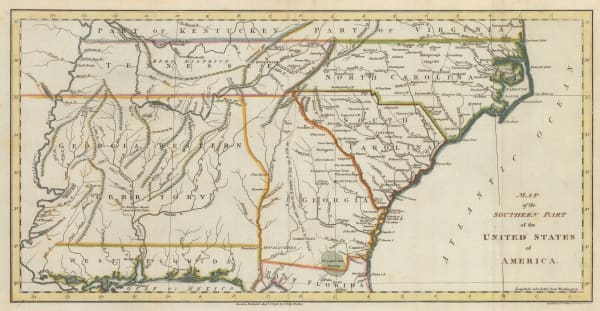
John Russell, Map of the Southern Part of the United States of America, 1798£ 745.00
-
Tardieu, North and South Carolina and Virginia, 1800£ 825.00
-
John Thomson, Eastern United States, 1817£ 1,250.00
-
Carey & Lea, Geographical, Statistical and Historical map of North Carolina, 1822£ 2,250.00
-
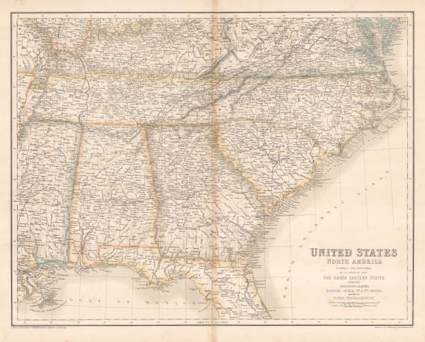
John Cary, South-eastern United States, 1825£ 1,675.00
-
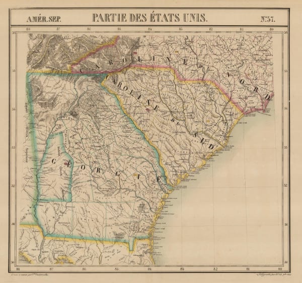
Philippe Vandermaelen, North and South Caroline and Georgia, 1827£ 725.00
-
Joseph Hutchins Colton, North Carolina, 1861£ 325.00
-
Archibald Fullarton, Southeast United States, 1870 c.£ 78.00
-
North America Sheet XI - Parts of North and South Carolina, 1880Society for the Diffusion of Useful Knowledge (SDUK)Series: LondonSociety for the Diffusion of Useful Knowledge (SDUK), North America Sheet XI - Parts of North and South Carolina, 1880£ 80.00
-
O.W. Gray & Son, North and South Carolina, 1881£ 495.00
-
Letts & Son, North and South Carolina, 1889£ 95.00
-
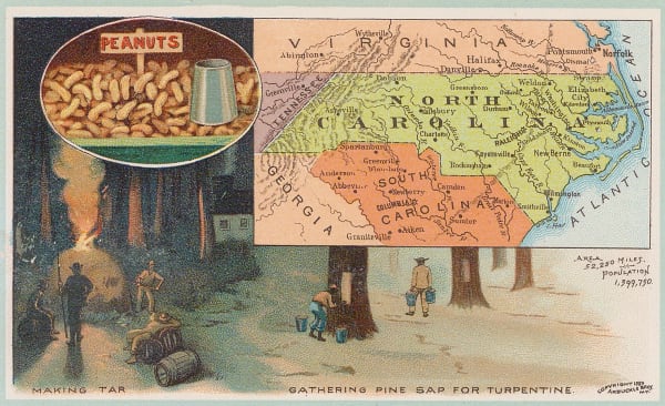
Arbuckle Brothers Company, North Carolina, 1889£ 115.00
-
Perry Mason & Co., North Carolina, 1891£ 135.00
-
George Cram, North and South Carolina, 1897£ 225.00
-
British Admiralty, Cape Fear to Sapelo Sound, 1898£ 2,500.00
-
British Admiralty, North America East Coast - Delaware Bay to Florida Strait, 1942£ 950.00
North Carolina
Our entire inventory of over 10,000 antique and vintage maps is now available to browse by region, date, cartographer, and subject