-
 Jodocus Hondius, Southeast coast of the United States, 1619£ 2,250.00
 -
Mercator Hondius, North and South Carolina, Virginia and Georgia, 1621£ 925.00
-
Willem & Jan Blaeu, Southern Virginia, North and South Carolina and Georgia, 1650 c.£ 1,950.00
-
Jan Jansson, South-eastern coast of USA , 1666£ 1,950.00
-
John Ogilby, Georgia & the Carolinas, 1670 c.£ 1,750.00
-
John Speed, North and South Carolina, 1676£ 3,950.00
-
Robert Morden, North and South Carolina, 1688£ 875.00
-
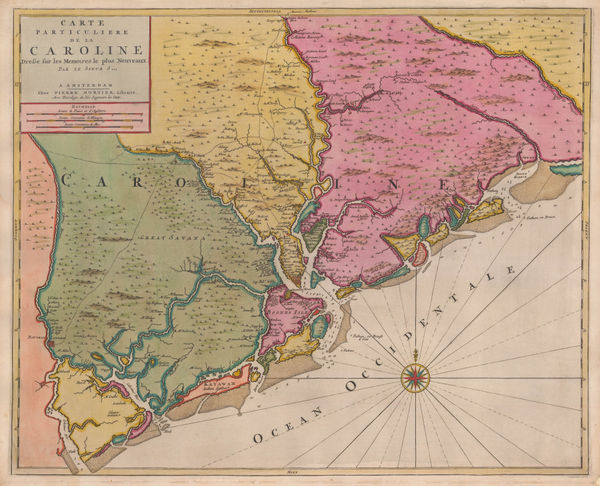
Pierre Mortier, Uncommon map of North and South Carolina, 1700£ 3,200.00
-
-
Pieter van der Aa, Southern USA from Virginia to Florida, 1707£ 895.00
-
Pieter van der Aa, Virginia, North and South Carolina and northern Florida, 1714£ 1,950.00
-
Johann Baptist Homann, Virginia, Maryland and Carolina, 1714 c.£ 3,250.00
-
Herman Moll, Florida and Louisiana, 1750 c.£ 1,250.00
-
Herman Moll, A Plan of Port Royal Harbour in Carolina, 1755 c.£ 395.00
-
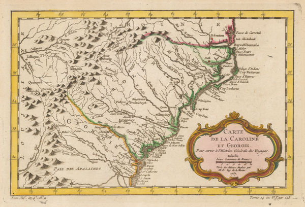
Jacques-Nicolas Bellin, Georgia and North and South Carolina, 1757£ 675.00
-
Jacques-Nicolas Bellin, Coastal chart from Cape Fear to St. Augustine, 1760 c.£ 345.00
-
Jacques-Nicolas Bellin, Georgia & South Carolina, 1764£ 595.00
-
Jacques-Nicolas Bellin, The Carolinas, 1764£ 1,250.00
-
Louis Brion de la Tour, Eastern Coast of North America, 1766£ 495.00
-
Francois Santini, Louisiana, Florida and the Carolinas, 1776£ 985.00
-
Georges-Louis Le Rouge, Chart of North and South Carolina coast, 1777£ 3,850.00
-
Antoine de Sartine, Chart of the coast from New Jersey to Georgia, 1778£ 3,950.00
-
John Bew, A New and Accurate Map of the Chief Parts of South Carolina and Georgia, 1780£ 1,450.00
-
Rigobert Bonne, North and South Carolina and Georgia, 1780 c.£ 285.00
-
David Ramsay, South Carolina during the American Revolution, 1787£ 1,950.00
-
David Ramsay, Plan of the Siege of Charleston, 1789£ 695.00
-
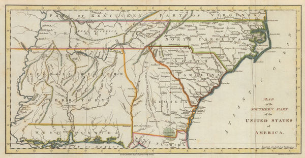
A New and General Map of the Southern Dominions Belonging to The United States of America, 1794Laurie & WhittleSeries: LondonLaurie & Whittle, A New and General Map of the Southern Dominions Belonging to The United States of America, 1794£ 3,500.00
-
A Map of the States of Virginia, North Carolina, South Carolina and Georgia, 1795Joseph PurcellSeries: EdinburghJoseph Purcell, A Map of the States of Virginia, North Carolina, South Carolina and Georgia, 1795£ 1,925.00
-
John Reid, The State of South Carolina from the Best Authorities, 1796£ 1,750.00
-
J. Denison, North and South Carolina, 1796£ 475.00
-
Abraham Bradley, Map of the Southern United States of America, 1797£ 850.00
-
John Russell, Map of the Southern Part of the United States of America, 1798£ 745.00
-
Tardieu, North and South Carolina and Virginia, 1800£ 825.00
-
John Pinkerton, Southeastern United States, 1809£ 1,650.00
-
Aaron Arrowsmith & Samuel Lewis, New York State, 1812£ 345.00
-
Aaron Arrowsmith & Samuel Lewis, South Carolina, 1812£ 345.00
-
John Thomson, Eastern United States, 1817£ 1,250.00
-
John Cary, South-eastern United States, 1825£ 1,675.00
-
Philippe Vandermaelen, North and South Caroline and Georgia, 1827£ 725.00
-
Samuel Augustus Mitchell, Southeastern United States, 1839£ 145.00
-
E. & G.W. Blunt, Charleston Harbour, 1847£ 225.00
-
Samuel Augustus Mitchell, A New Map of South Carolina, 1849£ 475.00
-
Alexander Dallas Bache, Port Royal Entrance, 1859£ 125.00
-
Joseph Hutchins Colton, South Carolina, 1861£ 345.00
-
Joseph Hutchins Colton, Savannah and Charleston, 1861£ 375.00
-
Archibald Fullarton, Southeast United States, 1870 c.£ 78.00
-
O.W. Gray & Son, North and South Carolina, 1881£ 495.00
-
A. Simon, Charleston (1887), 1887£ 365.00
-
Arbuckle Brothers Company, South Carolina, 1889£ 165.00
-
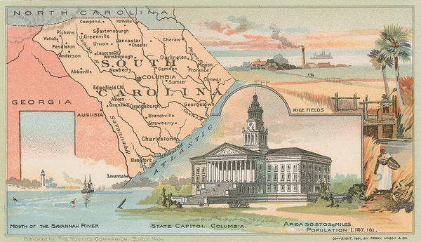
Perry Mason & Co., South Carolina, 1891£ 130.00
-
George Cram, North & South Carolina, 1897£ 225.00
-
George Cram, North and South Carolina, 1897£ 225.00
-
British Admiralty, Cape Fear to Sapelo Sound, 1898£ 2,500.00
-
W. & A.K. Johnston, United States (S.E.), 1908£ 125.00
-
British Admiralty, North America East Coast - Delaware Bay to Florida Strait, 1942£ 950.00
-
Dore Ogrizek, South Carolina, 1946£ 85.00
South Carolina
Our entire inventory of over 10,000 antique and vintage maps is now available to browse by region, date, cartographer, and subject