-
 Philippe Vandermaelen, Montana and the Dakotas, 1827£ 600.00
 -
Hydrographical Basin of the Upper Mississippi River, 1843Joseph Nicolas NicolletSeries: Washington, D.C.Joseph Nicolas Nicollet, Hydrographical Basin of the Upper Mississippi River, 1843£ 3,450.00
-
-
US Government, Ceded Part of Dakota Territory, 1861£ 195.00
-
Joseph Hutchins Colton, Minnesota and Dakota, 1862£ 345.00
-
General Land Office (GLO), Dakota Territory, 1866£ 795.00
-
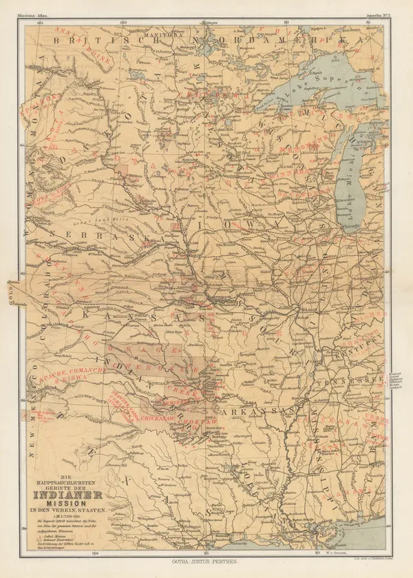
Justus Perthes, Indigenous Map of Central and Midwest USA, 1871£ 125.00
-
Newton Horace Winchell, A Geological Map of The Black Hills, 1875£ 585.00
-
Samuel Augustus Mitchell, County and Township Map of Dakota, 1884£ 58.00
-
Justus Perthes, Dakotas, Minnesota, Iowa, Nebraska and part of Wisconsin., 1885£ 85.00
-
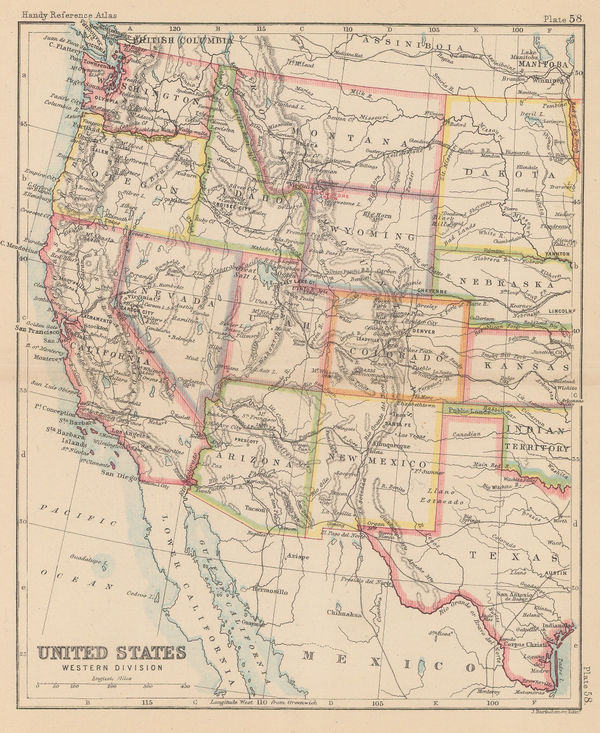
John Bartholomew, United States Western Division, 1887£ 62.00
-
Arbuckle Brothers Company, [South Dakota], 1889£ 78.00
-
Perry Mason & Co., South Dakota, 1891£ 95.00
-
Century Company, The century Atlas - South Dakota, 1897£ 24.00
-
F.M. Dier, Road Map of the Black Hills Designating Points of Interest, 1950 (c.)£ 95.00
South Dakota
Our entire inventory of over 10,000 antique and vintage maps is now available to browse by region, date, cartographer, and subject


![Arbuckle Brothers Company, [South Dakota], 1889](https://static-assets.artlogic.net/w_600,c_limit,f_auto,fl_lossy,q_auto/artlogicstorage/themaphouse/images/view/b8cb4caf7301d18ea36f4c1e54976eefj/themaphouse-arbuckle-brothers-company-south-dakota-1889.jpg)


