-
 Jacques-Nicolas Bellin, Lake Champlain, the Richelieu and the St Lawrence Rivers, 1744£ 275.00
 -
William Owen, French & Indian War Map of New England, 1755£ 950.00
-
Marco Coltellini, New England, 1763£ 775.00
-
Jacques-Nicolas Bellin, St Lawrence River and Lake Champlain , 1764£ 445.00
-
-
Antonio Zatta, North-eastern North America, 1779£ 675.00
-
Louis Capitaine du Chesne, Northeastern USA, 1789 (c.)£ 475.00
-
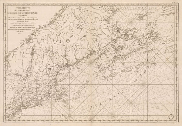
Important map of the east coast of the United States and Canada, 1792 (c.)Antoine de SartineSeries: ParisAntoine de Sartine, Important map of the east coast of the United States and Canada, 1792 (c.)£ 3,250.00
-
Morse and Andrews, Vermont, 1805£ 245.00
-
Tardieu, North-eastern United States, 1810 c.£ 495.00
-
Aaron Arrowsmith & Samuel Lewis, Vermont, 1812£ 295.00
-
Carey & Lea, Geographical, Statistical and Historical map of Vermont, 1822£ 985.00
-
Philippe Vandermaelen, Northeastern United States, 1827£ 450.00
-
Society for the Diffusion of Useful Knowledge (SDUK), New England, 1844£ 145.00
-
Joseph Meyer, New Hampshire and Vermont, 1846£ 285.00
-
Jeremiah Greenleaf, Vermont and New Hampshire, 1848£ 165.00
-
Samuel Augustus Mitchell, Map of New Hampshire & Vermont, 1850£ 175.00
-
Morse & Gaston, Vermont & New Hampshire, 1857£ 36.00
-
Vermont, New Hampshire, Massachusetts, Rhode Island, and Connecticut, 1864Johnson & WardSeries: New YorkJohnson & Ward, Vermont, New Hampshire, Massachusetts, Rhode Island, and Connecticut, 1864£ 185.00
-
County and Township Map of the States of New Hampshire and Vermont, 1880Samuel Augustus MitchellSeries: PhiladelphiaSamuel Augustus Mitchell, County and Township Map of the States of New Hampshire and Vermont, 1880£ 120.00
-
W. & A.K. Johnston, Vermont, 1880 (c.)£ 75.00
-
O.W. Gray & Son, Vermont, 1881£ 225.00
-
County and Township Map of Vermont and New Hampshire, 1882Samuel Augustus MitchellSeries: PhiladelphiaSamuel Augustus Mitchell, County and Township Map of Vermont and New Hampshire, 1882£ 165.00
-
Arbuckle Brothers Company, Vermont, 1889£ 135.00
-
Perry Mason & Co., Vermont, 1891£ 150.00
-
George Cram, New Hampshire and Vermont, 1897£ 295.00
-
Dore Ogrizek, Vermont, 1946£ 75.00
Vermont
Our entire inventory of over 10,000 antique and vintage maps is now available to browse by region, date, cartographer, and subject