-
 Map of Maj. Gen. Ross's route, with the British Column, from Benedict, on the Patuxent River, to the City of Washington, August 1814, 1818William JamesSeries: Washington, D.C.William James, Map of Maj. Gen. Ross's route, with the British Column, from Benedict, on the Patuxent River, to the City of Washington, August 1814, 1818£ 885.00
 -
Plan of the City of Washington and Territory of Columbia, 1820 c.Daniel & William LizarsSeries: EdinburghDaniel & William Lizars, Plan of the City of Washington and Territory of Columbia, 1820 c.£ 1,850.00
-
Geographical, Statistical, and Historical Map of the District of Columbia, 1823Carey & LeaSeries: PhiladelphiaCarey & Lea, Geographical, Statistical, and Historical Map of the District of Columbia, 1823£ 1,750.00
-
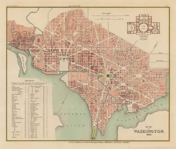
Joseph Meyer, Street plan of Washington D. C., 1845£ 745.00
-
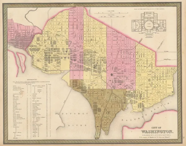
Samuel Augustus Mitchell, City of Washington, 1847 c.£ 495.00
-
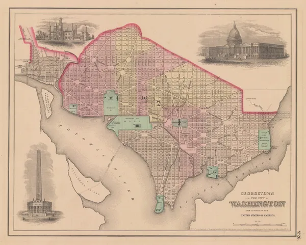
Joseph Hutchins Colton, Georgetown and the City of Washington, 1855£ 445.00
-
Magnus' Historical War Map - One Hundred & Fifty Miles Around Richmond, 1864Charles MagnusSeries: New YorkCharles Magnus, Magnus' Historical War Map - One Hundred & Fifty Miles Around Richmond, 1864£ 1,250.00
-
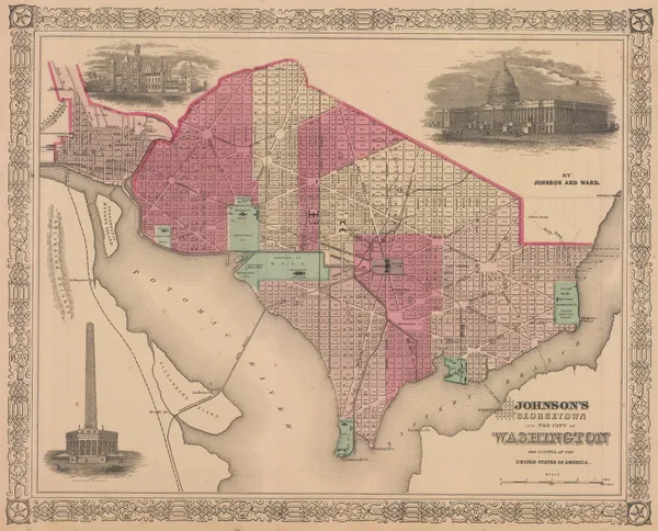
Johnson & Ward, Georgetown and the City of Washington, 1865£ 385.00
-
Spanish Admiralty, Spanish Admiralty chart of the Chesapeake Bay, 1871£ 1,450.00
-
O.W. Gray & Son, Maryland, Delaware and the District of Columbia, 1881£ 585.00
-
Henry Cuthbert Tunison, Virginia, Maryland, Delaware & West Virginia, 1882£ 95.00
-
Rand, McNally & Co., Washington, 1895£ 495.00
-
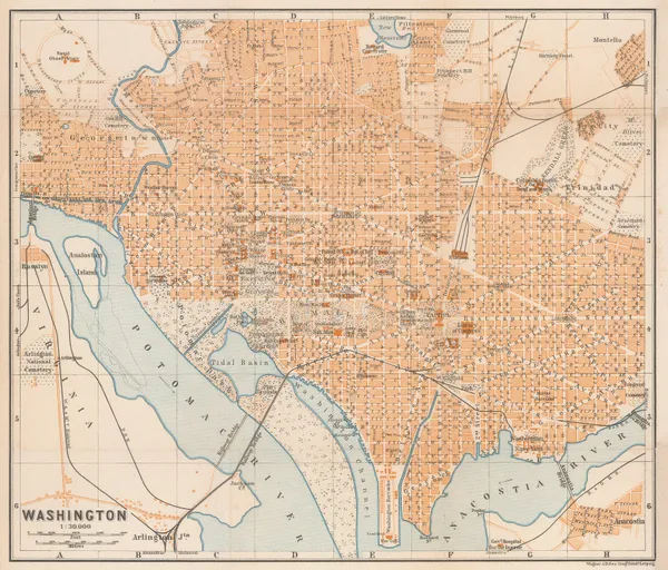
Karl Baedeker, Washington, 1909£ 185.00
-
William Olsen, Washington - The Beautiful Capital of the Nation, 1923£ 1,450.00
Washington, D.C.
Our entire inventory of over 10,000 antique and vintage maps is now available to browse by region, date, cartographer, and subject