-
 Important German rendition of Bellin's seminal map of the Great Lakes, 1755Homann HeirsSeries: NurembergHomann Heirs, Important German rendition of Bellin's seminal map of the Great Lakes, 1755£ 3,650.00
 -
Jacques-Nicolas Bellin, The Great Lakes, 1764£ 2,250.00
-
Matthew Carey, The Northwestern Territories of the United States, 1812£ 850.00
-
Philippe Vandermaelen, Minnesota, 1827£ 625.00
-
Hydrographical Basin of the Upper Mississippi River, 1843Joseph Nicolas NicolletSeries: Washington, D.C.Joseph Nicolas Nicollet, Hydrographical Basin of the Upper Mississippi River, 1843£ 3,450.00
-
Morse & Gaston, Wisconsin, 1857£ 32.00
-
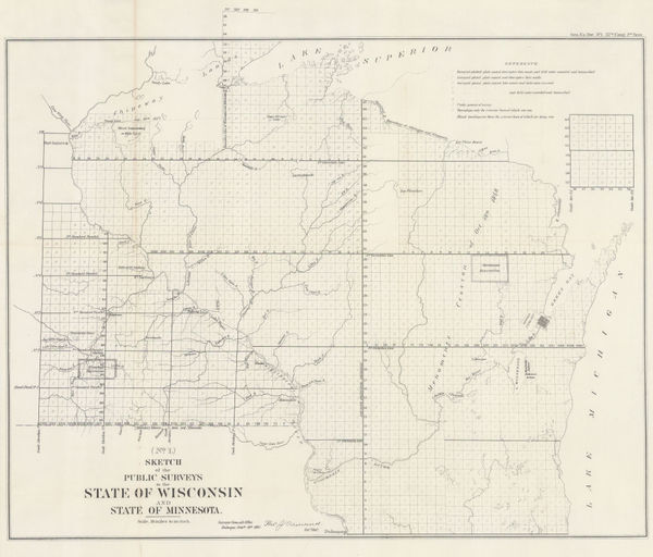
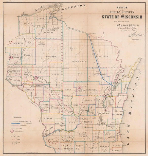
Sketch of the Public Surveys in the State of Wisconsin and State of Minnesota, 1861US GovernmentSeries: Washington, D.C.US Government, Sketch of the Public Surveys in the State of Wisconsin and State of Minnesota, 1861£ 325.00
-
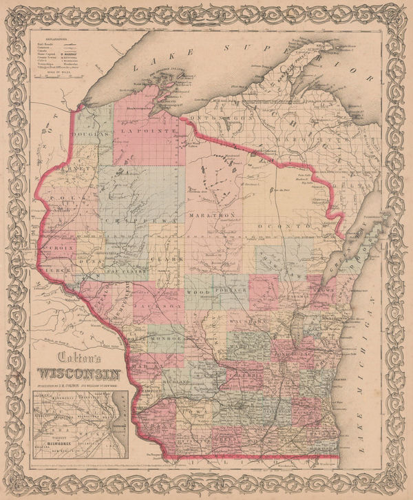
Joseph Hutchins Colton, Wisconsin, 1861£ 325.00
-
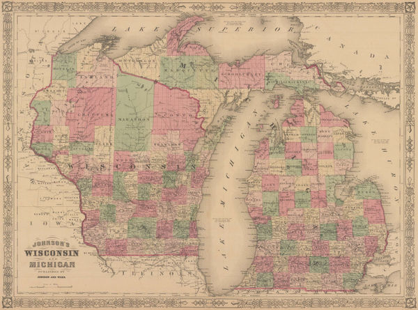
Johnson & Ward, Johnson's Wisconsin and Michigan, 1864£ 325.00
-
General Land Office (GLO), Wisconsin, 1866£ 475.00
-
Geological Map of the Lead Region in the States of Wisconsin, Illinois and Iowa, 1870 c.J.D. WhitneyJ.D. Whitney, Geological Map of the Lead Region in the States of Wisconsin, Illinois and Iowa, 1870 c.£ 585.00
-
Archibald Fullarton, United States - The North Central Section, 1870 c.£ 75.00
-
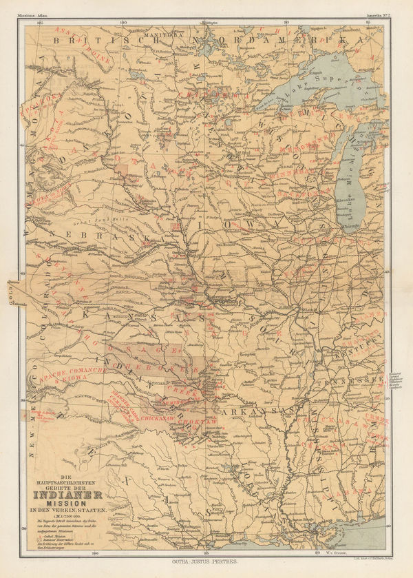
Die Hauptsaechlichsten Gebiete Der Indianer Mission in den Verein Staaten, 1871Justus PerthesSeries: GothaJustus Perthes, Die Hauptsaechlichsten Gebiete Der Indianer Mission in den Verein Staaten, 1871£ 125.00
-
W. & A.K. Johnston, Wisconsin, 1880 (c.)£ 65.00
-
County and Township Map of the States of Michigan and Wisconsin, 1882Samuel Augustus MitchellSeries: PhiladelphiaSamuel Augustus Mitchell, County and Township Map of the States of Michigan and Wisconsin, 1882£ 140.00
-
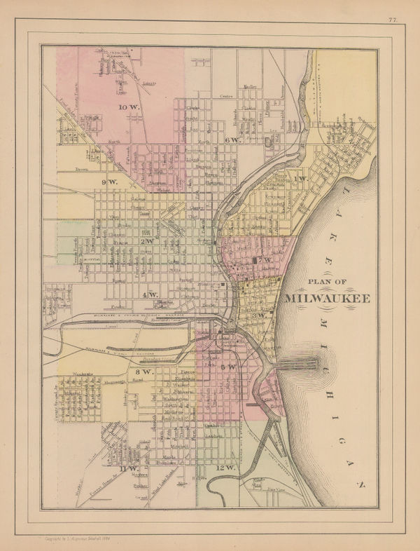
Samuel Augustus Mitchell, Plan of Milwaukee, 1884£ 62.00
-
Justus Perthes, Dakotas, Minnesota, Iowa, Nebraska and part of Wisconsin., 1885£ 85.00
-
Karl Baedeker, Milwaukee, 1890 c.£ 46.00
-
Perry Mason & Co., Wisconsin, 1891£ 98.00
-
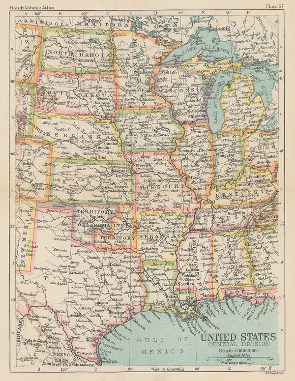
George Philip & Son Ltd., United States - Central Division, 1896£ 36.00
-
C.N. Caspar & Co., Caspar's Official Map of the City of Milwaukee and Vicinity, 1916£ 595.00
-
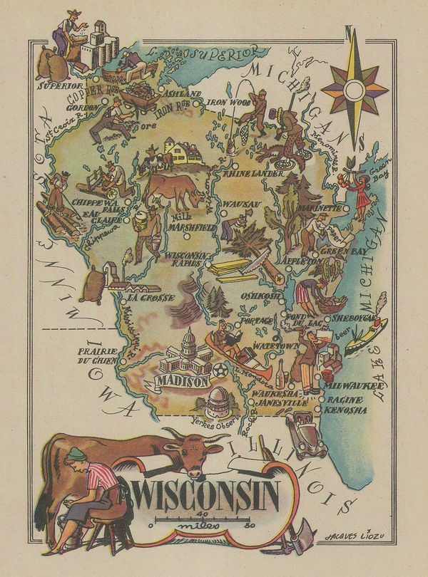
Dore Ogrizek, Wisconsin, 1946£ 52.00
Wisconsin
Our entire inventory of over 10,000 antique and vintage maps is now available to browse by region, date, cartographer, and subject