-
 Michael Drayton, Ches Shyre, 1613£ 450.00
 -
 Christopher Saxton & William Hole, Cestriae, 1637£ 645.00
 -
 Christopher Saxton & William Hole, Cestriae, 1637£ 845.00
 -
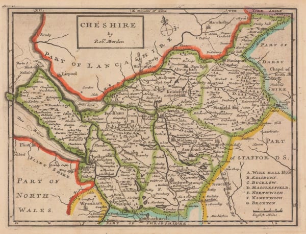
 Robert Morden, Cheshire, 1708£ 125.00
 -
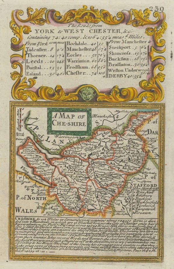
 Emanuel Bowen & John Owen, A Map of Cheshire, 1720£ 85.00
 -
 Herman Moll, The County Palatine of Chester, 1724£ 160.00
 -
 Emanuel Bowen, An Accurate Map of the County Palatine of Chester, 1760 c.£ 950.00
 -
 Cheshire Drawn from the best Surveys, Maps, Charts, &c and Regulated by Astronomical Observation, 1769Thomas KitchinSeries: LondonThomas Kitchin, Cheshire Drawn from the best Surveys, Maps, Charts, &c and Regulated by Astronomical Observation, 1769£ 84.00
 -
 John Seller, Cheshire, 1774£ 98.00
 -
 Emanuel Bowen, An Accurate Map of the County Palatine of Chester, 1777£ 375.00
 -
 Cole & Roper, Cheshire, 1805£ 68.00
 -
 Samuel John Neele, Cheshire, 1807£ 80.00
 -
 Charles Smith, A New Map of the County Palatine of Cheshire, 1808£ 145.00
 -
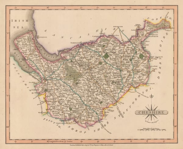
 John Cary, Cheshire, 1809£ 98.00
 -
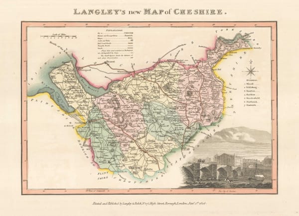
 Langley & Belch, Langley's New Map of Cheshire, 1817£ 115.00
 -
 Christopher & John Greenwood, Map of the County Palatine of Chester, 1830£ 485.00
 -
 Henry Teesdale, A Map of the County Palatine of Chester, 1830£ 1,550.00
 -
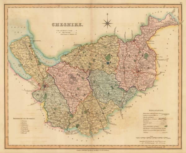
 Henry Teesdale, Cheshire, 1830 c.£ 95.00
 -
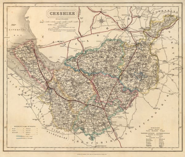
 James Pigot, Cheshire, 1840£ 115.00
 -
 Thomas Moule, Cheshire, 1840 c.£ 110.00
 -
 J. & C. Walker, Cheshire, 1844£ 75.00
 -
 Samuel Lewis, Cheshire, 1848£ 58.00
 -
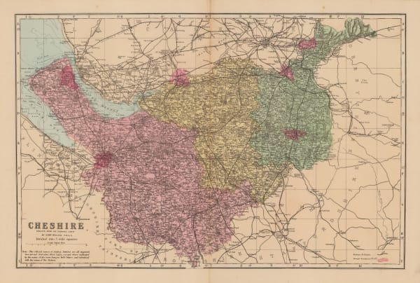
 Edward Weller, Cheshire, 1890 c.£ 35.00
 -
 Edward Stanford, Cheshire, 1928£ 52.00
Cheshire
Our entire inventory of over 10,000 antique and vintage maps is now available to browse by region, date, cartographer, and subject


