-
 John Speed, Ulster (Northern Ireland), 1676£ 2,500.00
 -
William Petty, The Province of Ulster, 1749 c.£ 1,350.00
-
Sayer & Bennett, County Fermanagh , 1776£ 115.00
-
Sayer & Bennett, County Down, 1776£ 150.00
-
Sayer & Bennett, County Londonderry, 1776£ 150.00
-
Robert Kearsley Dawson, Armagh, 1832£ 125.00
-
Robert Kearsley Dawson, Newry, 1832£ 75.00
-
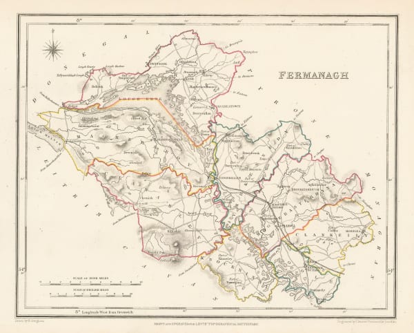
Samuel Lewis, Fermanagh, 1850£ 95.00
-
Samuel Lewis, Antrim, 1850£ 75.00
-
Samuel Lewis, Londonderry, 1850£ 125.00
-
Samuel Lewis, Armagh, 1850£ 95.00
-
Samuel Lewis, Tyrone, 1850£ 95.00
-
John Tallis, Belfast, 1851£ 395.00
-
John Bartholomew, Belfast, 1902£ 65.00
-
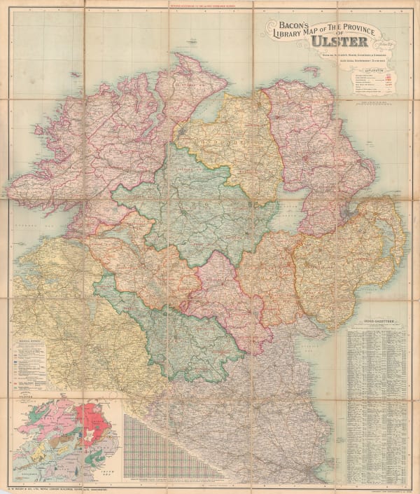
George W. Bacon, Library Map of the Province of Ulster, 1910 c.£ 495.00
-
John Bartholomew, Giants Causeway, 1912£ 78.00
-
Edward Stanford, Londonderry, 1912£ 95.00
-
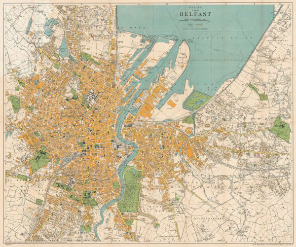
George W. Bacon, Plan of Belfast, 1920 c£ 450.00
-
Ordnance Survey, Belfast, 1923£ 485.00
-
Ernest Clegg, Northern Ireland, 1947£ 250.00
N. Ireland / Ulster
Our entire inventory of over 10,000 antique and vintage maps is now available to browse by region, date, cartographer, and subject