-
 William Heather, Sea Chart of the South Atlantic & South America, 1799£ 2,250.00
 -
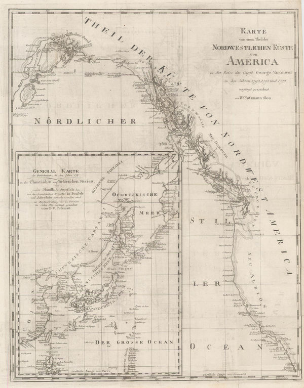
Daniel Friedrich Sotzmann, North West Pacific coast of America, 1800£ 795.00
-
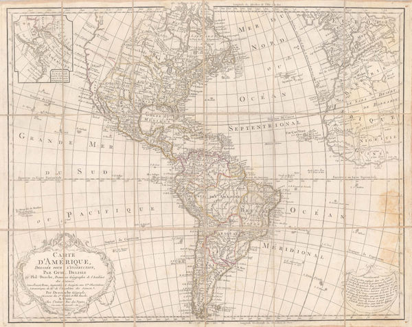
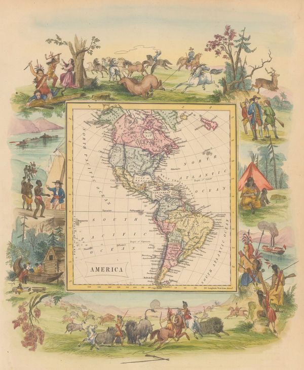
Charles Francois Delamarche, L'Amerique, 1800£ 1,950.00
-
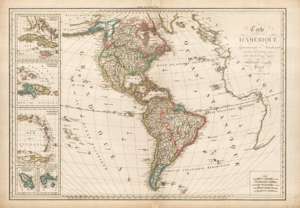
J.C. & J.A. Dezauche, Carte d'Amerique, 1801£ 850.00
-
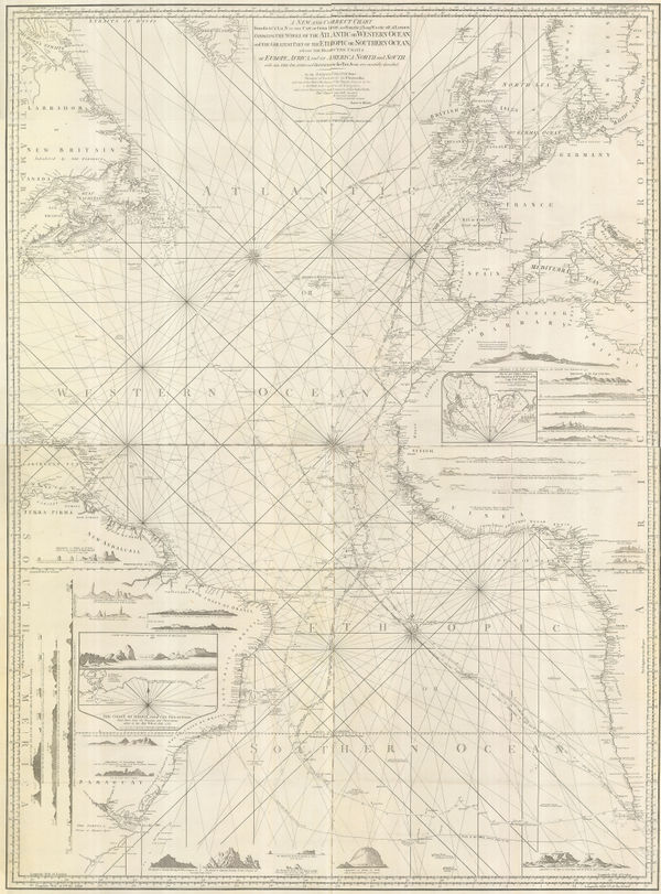
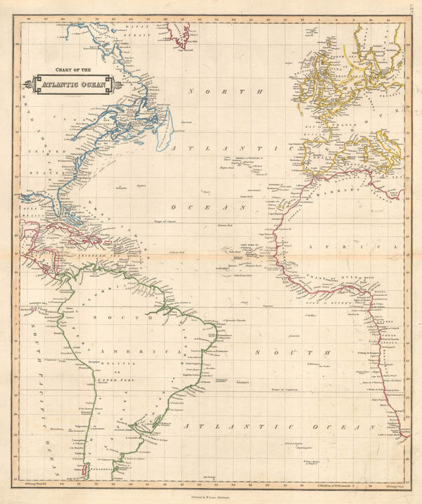
Laurie & Whittle, Extraordinary chart of the Atlantic Ocean, 1802£ 4,450.00
-
Chart of the Atlantic based on the findings of the Malaspina-Bustamante Expedition, 1802Isidoro de AntillonSeries: MadridIsidoro de Antillon, Chart of the Atlantic based on the findings of the Malaspina-Bustamante Expedition, 1802£ 2,800.00
-
Johann Christoph Reinecke, Charte America, 1803£ 730.00
-
Christian Gottlieb Reichard, Chart of the North Pacific Ocean, 1804£ 785.00
-
Charles Francois Delamarche, Amerique or Indes Occidentales, 1804 c.£ 1,250.00
-
Laurie & Whittle, New General Map of America, 1805£ 495.00
-
William Heather, Chart of the Atlantic Ocean, 1807£ 4,500.00
-
William Faden, James Cook's Voyage to Alaska & the Bering Strait, 1808£ 2,850.00
-
-
John Thomson, Southern Hemisphere, 1814£ 675.00
-
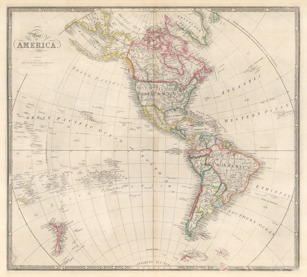
John Thomson, America, 1815 c.£ 875.00
-
Christian Gottlieb Reichard, America, 1816£ 225.00
-
John Thomson, Chart of the North Pacific and Behring Straits, 1816£ 525.00
-
John Thomson, Islands in the Pacific Ocean, 1817£ 445.00
-
Felix Delamarche, Carte Generale De L'Amerique, 1818£ 675.00
-
Jean Francois de La Perouse, Pacific Ocean and Australasia, 1818£ 725.00
-
John Cary, A New Map of America, 1819£ 1,250.00
-
Eustache Herisson, Carte D'Amerique Septentrionale et Meridionale, 1820£ 595.00
-
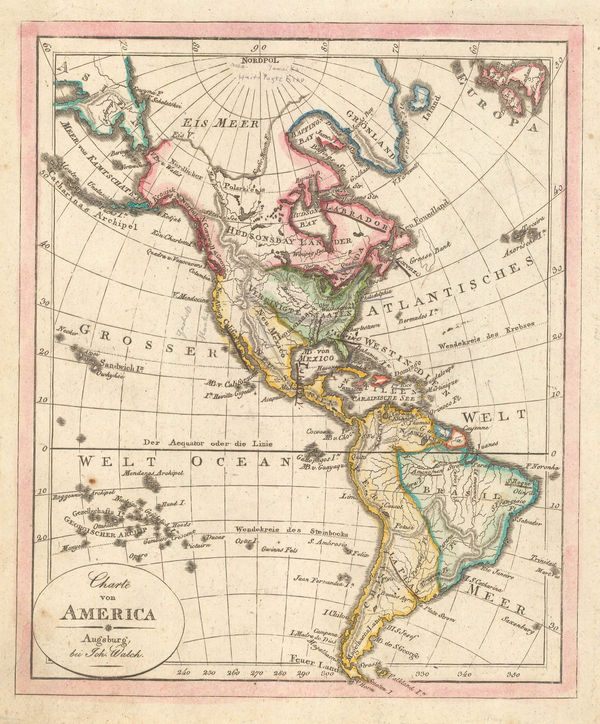
Johann Walch, Charte Von America, 1820£ 155.00
-
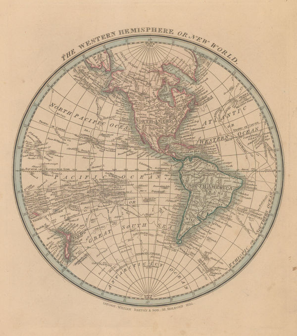
William Darton, The Western Hemisphere or New World, 1820 c.£ 115.00
-
John Thomson, Atlantic Ocean with the suspected course of the Gulf Stream, 1820 c.£ 525.00
-
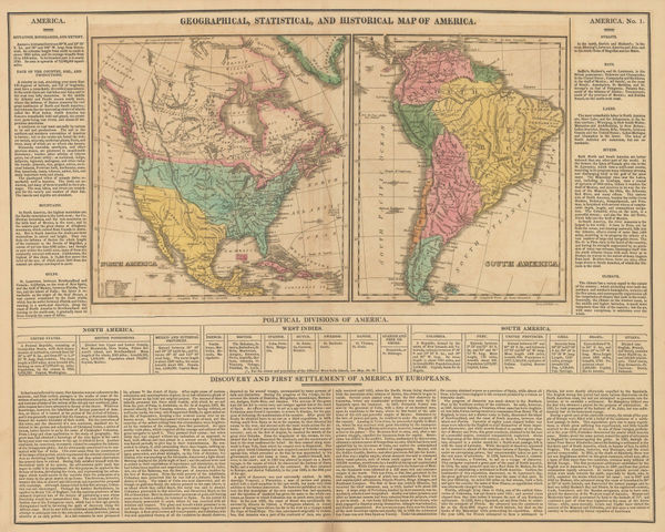
Carey & Lea, Geographical, Statistical, and Historial Map of America, 1822£ 525.00
-
Geographical, Statistical, and Historical map of North and South America, 1825Jean BuchonSeries: ParisJean Buchon, Geographical, Statistical, and Historical map of North and South America, 1825£ 125.00
-
Carl Weiland, America, 1828£ 595.00
-
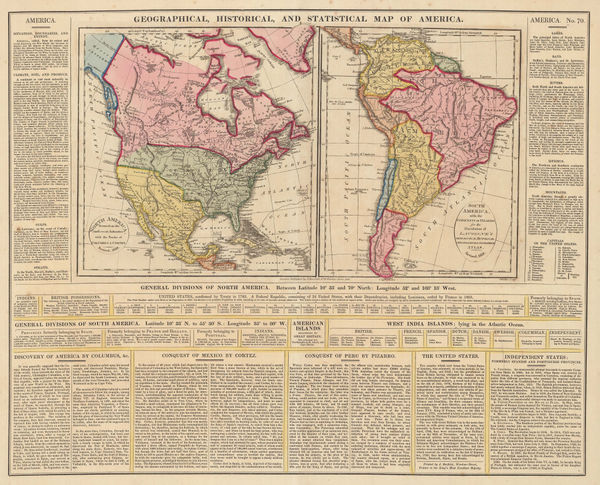
C.V. Lavoisne, Geographical, Historical, and Statistical Map of America, 1828£ 395.00
-
Carl Weiland, Australia and the Pacific Ocean, 1830£ 875.00
-
Thomas Starling, Islands of the South Pacific, 1830 c.£ 115.00
-
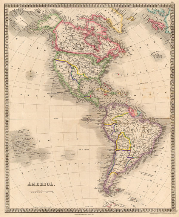
James Wyld, Map of America, 1840£ 875.00
-
Daniel & William Lizars, Chart of the Atlantic Ocean, 1840 c.£ 145.00
-
W. & A.K. Johnston, Islands of the Pacific Ocean, 1840 c.£ 80.00
-
James Wyld, North and South America with Pacific Ocean, 1842£ 750.00
-
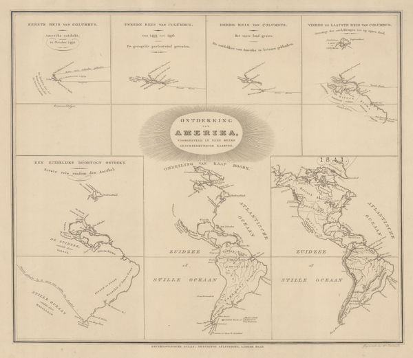
Daniel Veelward, The Discovery of America, 1842£ 350.00
-
John Arrowsmith, Pacific Ocean, 1842£ 185.00
-
Joseph Meyer, America, 1843£ 145.00
-
John Arrowsmith, America, 1844£ 1,950.00
-
Society for the Diffusion of Useful Knowledge (SDUK), The Pacific Ocean, 1844£ 95.00
-
Henry Teesdale, America, 1845 c.£ 445.00
-
Joseph Meyer, Australia and the Islands of the Pacific Ocean, 1846£ 165.00
-
Samuel Augustus Mitchell, Australia, New Zealand and the Pacific Ocean, 1846£ 225.00
-
Joseph Meyer, Bergsystem von Nord-America, 1848£ 295.00
-
Joseph Meyer, Pacific Ocean, 1849£ 120.00
-
Justus Perthes, Eastern Pacific Ocean from Hawaii to Galapagos Islands, 1849£ 88.00
-
Justus Perthes, Westliche Halbkugel, 1850£ 165.00
-
George Philip, America, 1850 c.£ 495.00
-
James Wyld, The Basin of the Pacific, 1850 c.£ 875.00
-
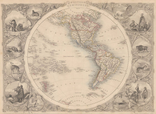
John Tallis, Western Hemisphere, 1851£ 425.00
-
Charles V. Monin, Australia and the South Pacific, 1853£ 125.00
-
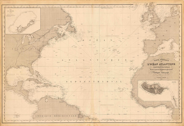
Aimé Robiquet, Chart of the North Atlantic Ocean, 1855£ 785.00
-
George Philip, Pacific Ocean Islands, 1856£ 250.00
-
Der Warme Meeresstrom des Atlantischen und Der Kalte Strom des Grossen Oceans, 1858Carl Christian Franz RadefeldSeries: HildburghausenCarl Christian Franz Radefeld, Der Warme Meeresstrom des Atlantischen und Der Kalte Strom des Grossen Oceans, 1858£ 88.00
-
Justus Perthes, Colonial Possessions in the Pacific, 1859£ 125.00
-
Daniel & William Lizars, America, 1860 c.£ 350.00
-
Victor Levasseur, Oceania, 1860 c.£ 275.00
-
Joseph Hutchins Colton, Hawaii, New Zealand & Pacific Islands, 1861£ 295.00
-
Justus Perthes, Christian Mission in the Pacific Ocean, 1870£ 50.00
-
Surface Temperatures of the North Atlantic between Shetland & Greenland, 1870Royal Geographical Society (RGS)Series: LondonRoyal Geographical Society (RGS), Surface Temperatures of the North Atlantic between Shetland & Greenland, 1870£ 155.00
-
Archibald Fullarton, Oceania and Pacific Ocean, 1870 c.£ 115.00
-
John Dower, Pacific Ocean, 1871£ 80.00
-
Sketch Map of the Countries Referred to in the Zeno Narrative, 1873Royal Geographical Society (RGS)Series: LondonRoyal Geographical Society (RGS), Sketch Map of the Countries Referred to in the Zeno Narrative, 1873£ 145.00
-
Adrien Brue, Australasia and the Pacific Ocean, 1876£ 145.00
-
Justus Perthes, Depth Chart of the Pacific Ocean, 1877£ 325.00
-
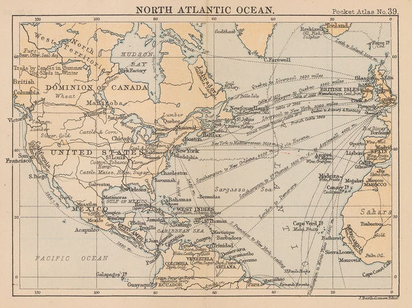
J.G. Bartholomew, North Atlantic Ocean, 1887£ 44.00
-
J.G. Bartholomew, Oceania, 1887£ 38.00
-
Scottish Geographical Society (SGS), Charles Darwin's Coral Reefs Theory, 1888£ 195.00
-
Justus Perthes, Wind map of the Pacific Ocean, 1895£ 38.00
-
George Philip & Son Ltd., Pacific Ocean: Cables & Ocean Depths, 1910 c.£ 68.00
-
J.G. Bartholomew, South Atlantic Ocean, 1922£ 95.00
-
-
US Navy Educational Services Section, WW2-era map of the Pacific, 1944£ 3,000.00
-
-
Her Majesty's Stationery Office (HMSO), The Bay Offensive, 1950 c.£ 125.00
-
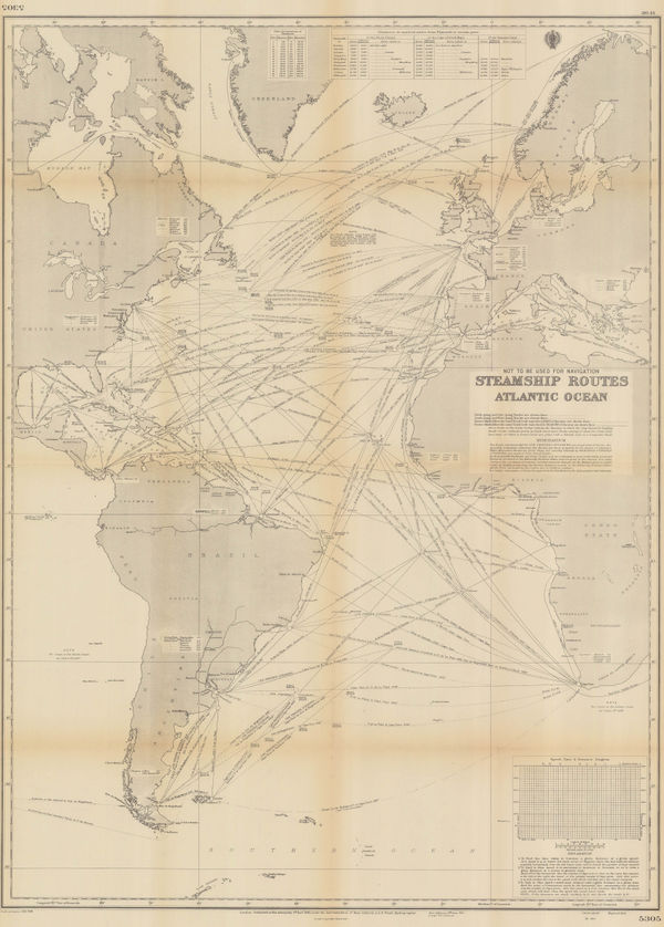
British Admiralty, Steamship Routes Atlantic Ocean, 1951£ 475.00
-
British Admiralty, Steamship Routes Pacific Ocean, 1951£ 575.00
-
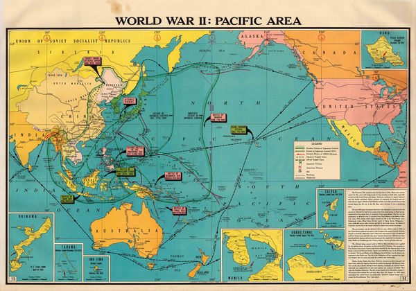
Franklin Scott, World War II: Pacific Area, 1954£ 445.00


Page
2
of 2