-
 Girolamo Ruscelli, Arabia, 1574£ 595.00
 -
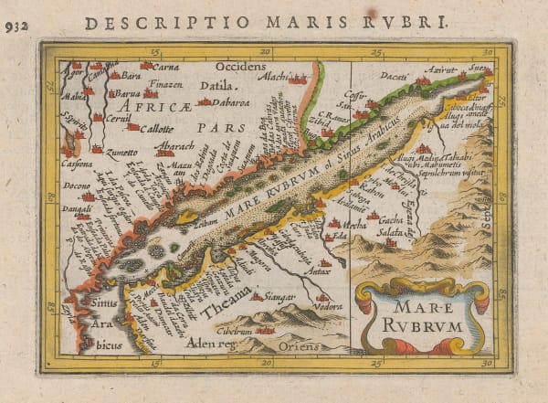
Petrus Bertius, Red Sea, 1616£ 395.00
-
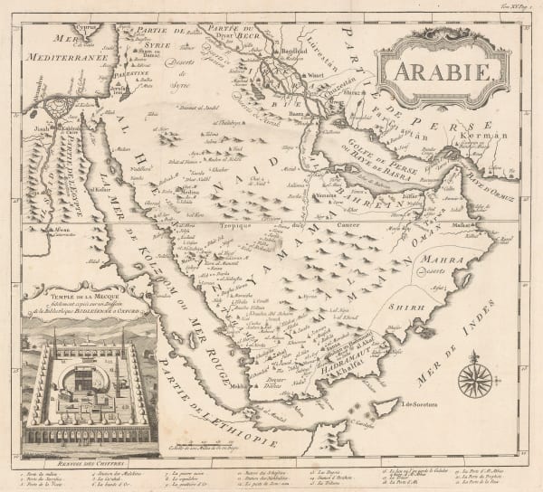
Nicolas Sanson, Arabia, 1652£ 795.00
-
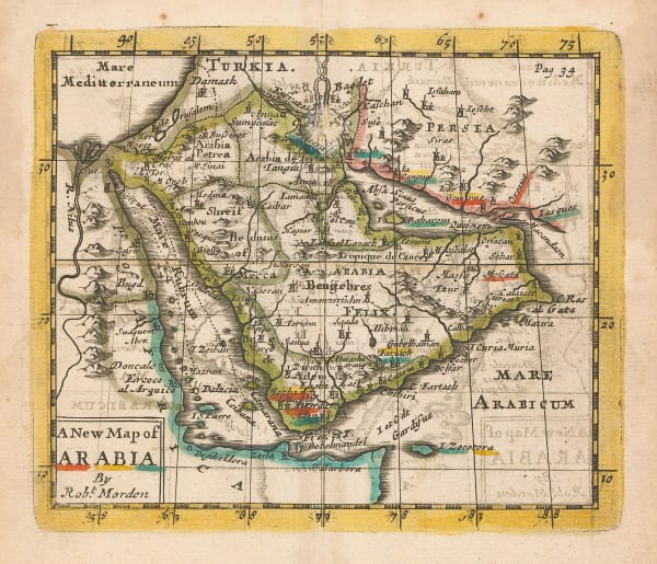
Robert Morden, A New Map of Arabia, 1699£ 495.00
-
Richard William Seale, Arabia, 1760 (c.)£ 2,250.00
-
Guillaume-Nicolas Delahaye, Chart of the Persian Gulf, 1775 c.£ 2,250.00
-
Antonio Zatta, L'Arabia, 1784£ 795.00
-
John Harrison, Chart of the Persian Gulf, 1788£ 775.00
-
Laurie & Whittle, A Chart of the Northern Part of the Indian Ocean, 1794£ 2,850.00
-
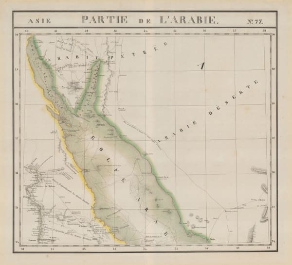
Philippe Vandermaelen, Sinai Peninsula, Jordan, Saudi Arabia and Egypt, 1827£ 750.00
-
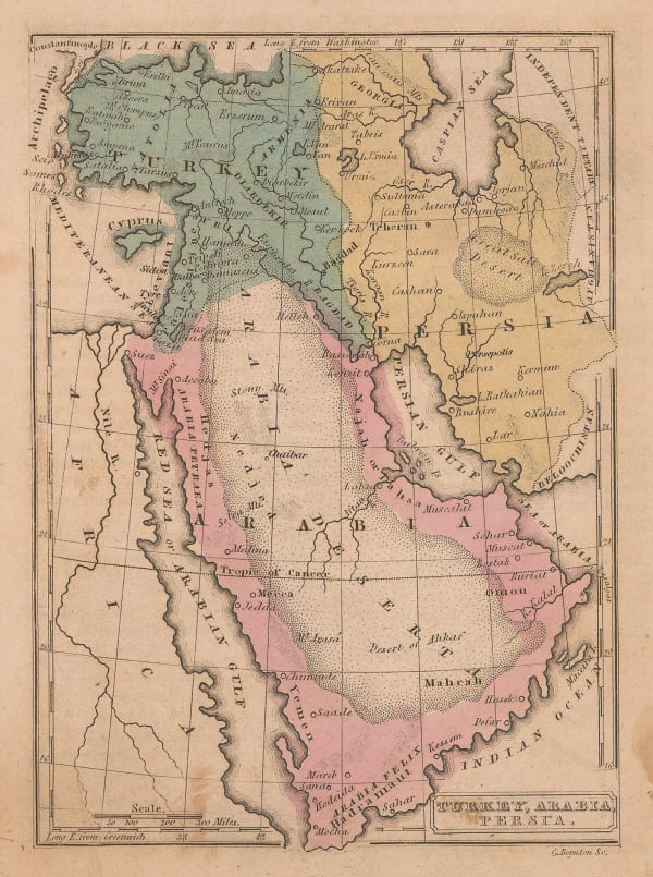
George Washington Boynton, Turkey, Arabia & Persia, 1835 c.£ 145.00
-
Rest Fenner, Persia and Arabia, 1836£ 98.00
-
Carl Ritter, Jeddah & Environs, 1846£ 895.00
-
-
Edward Weller, Arabia, 1863£ 375.00
-
William Gifford Palgrave, Plan of Hayel, 1866£ 445.00
-
William Gifford Palgrave, Plan of Riyadh, 1877£ 2,250.00
-
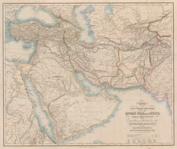
Arabia and the Surrounding Countries to illustrate the life of Mahomet and the Annals of the early Caliphate, 1883Edward StanfordSeries: LondonEdward Stanford, Arabia and the Surrounding Countries to illustrate the life of Mahomet and the Annals of the early Caliphate, 1883£ 3,850.00
-
Royal Geographical Society (RGS), Sketch Map of North West Arabia, 1910£ 425.00
-
Royal Geographical Society (RGS), Map of North East Arabia, 1911£ 475.00
-
-
-
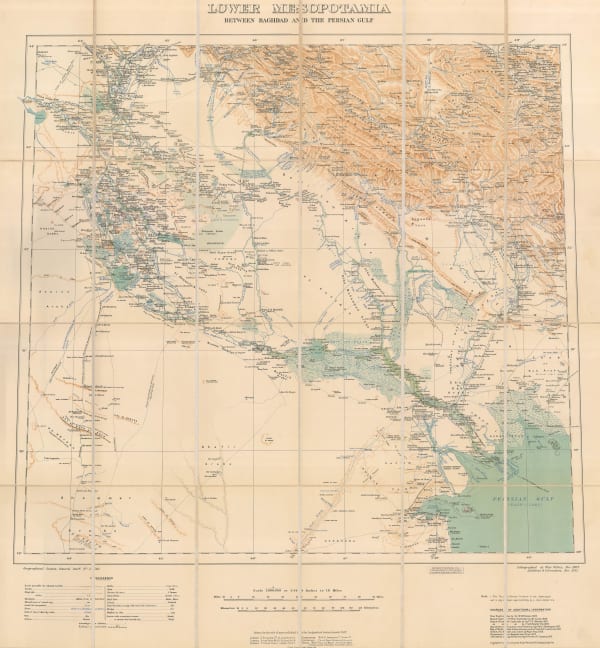
War Office, Southern Iraq from Baghdad to the Persian Gulf, 1915£ 1,250.00
-
Geographical Section, General Staff (GSGS), Iraq, Iran & Kuwait, 1918£ 2,850.00
-
J.G. Bartholomew, Middle East, 1922£ 425.00
-
Motor and camel Surveys in the North Arabian Desert, 1923Royal Geographical Society (RGS)Series: LondonRoyal Geographical Society (RGS), Motor and camel Surveys in the North Arabian Desert, 1923£ 165.00
-
Arabia - Routes between 'Oqair and Jabrin Oasis in Eastern Nejd, 1925Royal Geographical Society (RGS)Series: LondonRoyal Geographical Society (RGS), Arabia - Routes between 'Oqair and Jabrin Oasis in Eastern Nejd, 1925£ 825.00
-
Royal Geographical Society (RGS), Sketch maps of Oman and the UAE, 1925£ 775.00
-
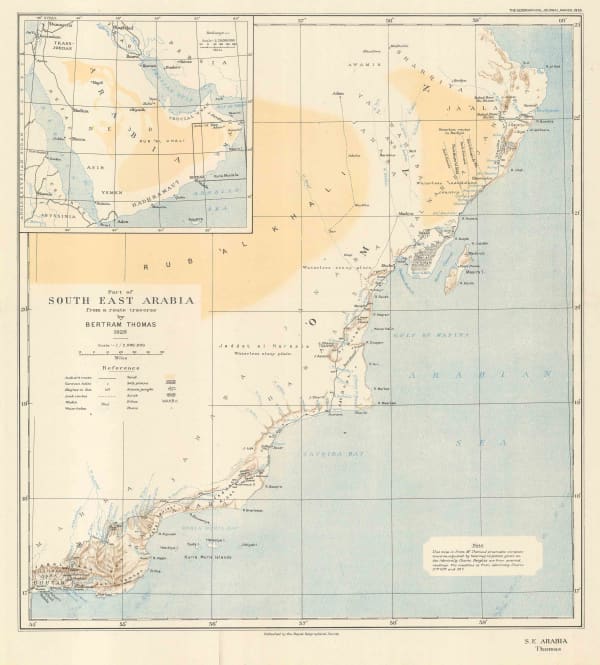
Royal Geographical Society (RGS), Part of South East Arabia, 1929£ 140.00
-
Royal Geographical Society (RGS), Central South Arabia, 1931£ 375.00
-
George Philip & Son Ltd., The Middle East, 1935 (c.)£ 195.00
-
A Sketch Map Itinerarium of Part of North Western Arabia and Negd, 1936Charles Montagu DoughtySeries: LondonCharles Montagu Doughty, A Sketch Map Itinerarium of Part of North Western Arabia and Negd, 1936£ 950.00
-
Royal Geographical Society (RGS), Routes in South-West Arabia, 1938£ 275.00
-
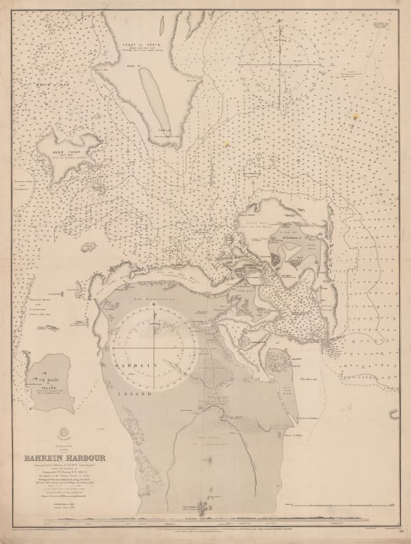
Plans on the Northeast Coast of Bahrein Island, 1942United States Hydrographic OfficeSeries: Washington, D.C.United States Hydrographic Office, Plans on the Northeast Coast of Bahrein Island, 1942£ 3,950.00
-
-
Royal Geographical Society (RGS), Southern Arabia, 1949£ 385.00
-
British Admiralty, Entrance of the Persian Gulf, 1951£ 4,500.00
-
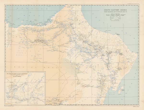
Royal Geographical Society (RGS), Wilfred Thesiger's Travels in Oman & UAE, 1951£ 2,950.00
-
James Belgrave, Guide Map of the Bahrain Islands, 1953£ 1,450.00
-
Geologic map of the Southern Tuwayq Quadrangle, Kingdom of Saudi Arabia, 1956Kingdom of Saudi Arabia / USGSSeries: Washington, D.C.Kingdom of Saudi Arabia / USGS, Geologic map of the Southern Tuwayq Quadrangle, Kingdom of Saudi Arabia, 1956£ 1,950.00
-
-
-
-
Geologic map of the Asir Quadrangle, Kingdom of Saudi Arabia, 1959Kingdom of Saudi Arabia / USGSSeries: Washington, D.C.Kingdom of Saudi Arabia / USGS, Geologic map of the Asir Quadrangle, Kingdom of Saudi Arabia, 1959£ 1,950.00
-
Geologic map of the Northwestern Rub' al Khali Quadrangle, Kingdom of Saudi Arabia, 1959Kingdom of Saudi Arabia / USGSSeries: Washington, D.C.Kingdom of Saudi Arabia / USGS, Geologic map of the Northwestern Rub' al Khali Quadrangle, Kingdom of Saudi Arabia, 1959£ 1,950.00
-
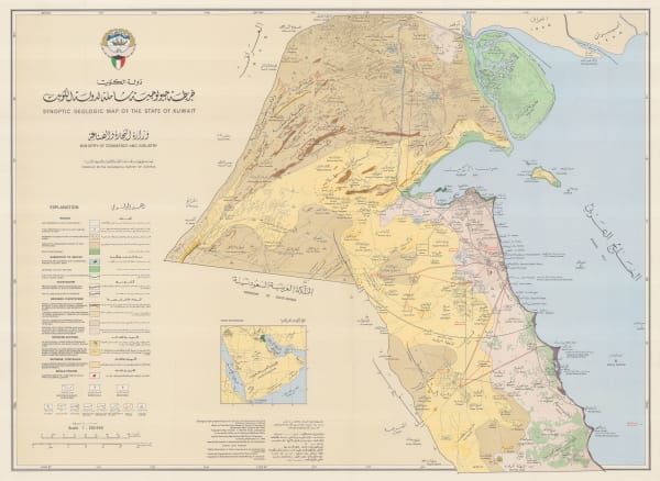
Synoptic Geologic Map of the State of Kuwait | خريطه جيولوجية شامله لدولة الكويت, 1968 c.Kuwait Ministry of Commerce and IndustrySeries: ViennaKuwait Ministry of Commerce and Industry, Synoptic Geologic Map of the State of Kuwait | خريطه جيولوجية شامله لدولة الكويت, 1968 c.£ 2,850.00
-
Anonymous, Kuwait City, 1970 c.£ 945.00
-
Fairey Surveys, Ltd., الدوحة Doha, Qatar, 1977 (c.)£ 950.00
-
GEOprojects, Ajman, 1979£ 195.00
-
GEOprojects, Dubai, 1979£ 1,850.00
-
GEOprojects, Fujairah, 1979£ 195.00
-
GEOprojects, Sharjah, 1979£ 450.00
Saudi & Gulf States
Our entire inventory of over 10,000 antique and vintage maps is now available to browse by region, date, cartographer, and subject