-
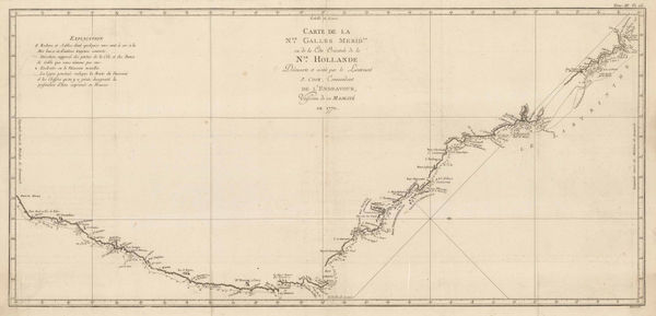
 Capt. James Cook, James Cook's Map of New South Wales & Queensland, 1774£ 1,250.00
 -
-
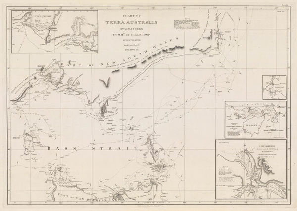
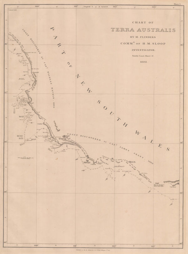
Matthew Flinders, Southern Australian coast from Melbourne to Adelaide, 1814£ 2,500.00
-
Philippe Vandermaelen, Southern coast from Long Bay to Cape Otway, 1827£ 335.00
-
Bass Strait, southern New South Wales and northern Tasmania, 1827Philippe VandermaelenSeries: BrusselsPhilippe Vandermaelen, Bass Strait, southern New South Wales and northern Tasmania, 1827£ 595.00
-
Justus Perthes, Southeastern Australia, 1834£ 375.00
-
Thomas Ham, Victoria, 1847£ 3,850.00
-
John Tallis, Victoria or Port Phillip, 1851£ 425.00
-
Alexander Keith Johnston, New South Wales and Victoria, 1858 c.£ 495.00
-
Royal Geographical Society (RGS), Expeditions in Search of Burke and Wills, 1863£ 1,250.00
-
Justus Perthes, Geological map of Victoria, 1865£ 195.00
-
Reginald A.F. Murray, Geological Map of Gipps Land, 1875£ 825.00
-
Ferdinand Moritz Krause, Ararat Gold Field, 1876£ 495.00
-
Reginald A.F. Murray, Geological Survey of Gipps Land, 1884£ 125.00
-
E. Whitehead, Whitehead's New Map of Victoria, 1884£ 625.00
-
John Bartholomew, Victoria, 1887£ 58.00
-
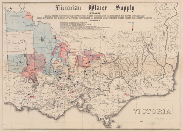
Stuart Murray, Victorian Water Supply Plan, 1890 c.£ 750.00
-
J.G. Bartholomew, Victoria, 1891£ 64.00
-
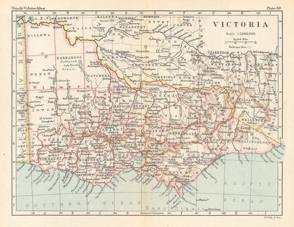
George Philip & Son Ltd., Victoria, 1896£ 38.00
-
John Power Studios, The Wonder Map of Melbourne, 1934£ 1,850.00
Victoria
Our entire inventory of over 10,000 antique and vintage maps is now available to browse by region, date, cartographer, and subject