-
 Edward Stanford, Sketch Map of the Turco-Greek Frontier, 1897£ 295.00
 -
Edward Stanford, Map of the Ionian Islands and Malta, 1898£ 275.00
-
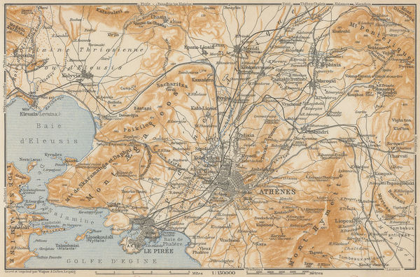
Edward Stanford, Athens, 1904£ 65.00
-
Edward Stanford, The Aegean Sea & Greek Islands, 1904£ 95.00
-
Edward Stanford, Ancient Greece with Thessaly, 1904£ 75.00
-
Edward Stanford, Ionian Islands, 1907£ 55.00
-
Enciclopedia Segui, Athens, 1910 (c.)£ 85.00
-
Edward Stanford, Athens, 1910 c.£ 245.00
-
Balkan States & Asia Minor: Industries & Communications, 1910 c.George Philip & Son Ltd.Series: LondonGeorge Philip & Son Ltd., Balkan States & Asia Minor: Industries & Communications, 1910 c.£ 125.00
-
Karl Baedeker, Athens, 1911£ 78.00
-
British Admiralty, Aegean Sea and Islands, 1922£ 1,450.00
-
John Bartholomew & Son, Greece & the Aegean Sea, 1922£ 95.00
-
Joseph Meyer, Athens, 1930£ 46.00
-
Carabott, F. V., Vintage plan of Athens, 1958£ 88.00


Page
2
of 2