
Maps of the whole of London
-
 Gall & Inglis, Gall and Inglis' Reduced Ordnance Map of London, 1890 c.£ 795.00
 -
-
George W. Bacon, Islington, Dalston, Hoxton, Shoreditch, Whitechapel & Hackney, 1890 c.£ 245.00
-
Charles Booth, Putney & Wandsworth Poverty Map, 1890 c.£ 450.00
-
Charles Booth, Fulham, West Brompton, Earl's Court, 1890 c.£ 1,150.00
-
George W. Bacon, London, 1890 c.£ 395.00
-
George Philip & Son Ltd., Brent Reservoir, 1891£ 40.00
-
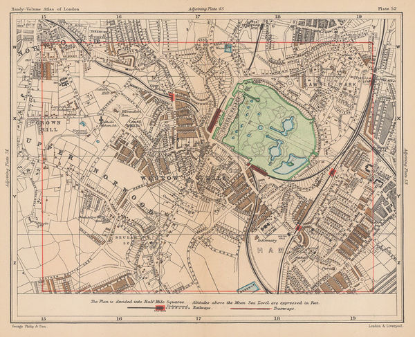
George Philip & Son Ltd., Crystal Palace & Upper Norwood, 1891£ 55.00
-
Benjamin Rees Davies, Davies's Map of the Environs of London, 1891£ 645.00
-
George Philip & Son Ltd., Ilford, 1891£ 45.00
-
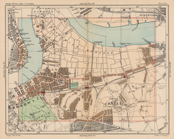
George Philip & Son Ltd., Greenwich & Charlton, 1891£ 56.00
-
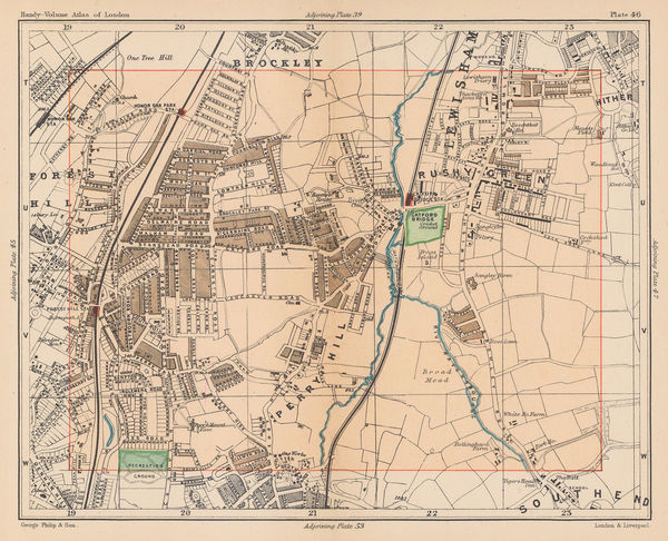
George Philip & Son Ltd., Catford, Honour Oak & Forest Hill, 1891£ 45.00
-
George Philip & Son Ltd., West Ham, Plaistow & Stratford, 1891£ 62.00
-
John Bartholomew & Son, London Postal Districts, 1891£ 65.00
-
Westminster, Piccadilly, Victoria, Mayfair, Soho, and Waterloo, 1891John Bartholomew & SonSeries: EdinburghJohn Bartholomew & Son, Westminster, Piccadilly, Victoria, Mayfair, Soho, and Waterloo, 1891£ 145.00
-
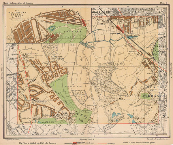
George Philip & Son Ltd., Highgate & Alexandra Palace, 1891 c.£ 48.00
-
George W. Bacon, Map of the Parish of St. Mary Abbotts Kensington, 1892£ 2,950.00
-
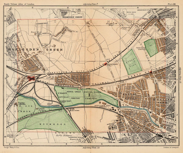
George Philip & Son Ltd., Kensal Green, Harlesden, Kilburn & Queen's Park, 1892£ 44.00
-
Post Office Directory, London, 1893£ 595.00
-
James Reynolds, New Map of London and its Suburbs, 1893£ 1,350.00
-
Benjamin Rees Davies, Davies' New Map of London and its Environs, 1894£ 1,950.00
-
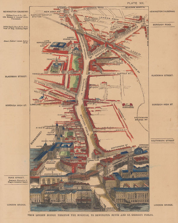
Thomas Sulman, Bird's-Eye View of London Bridge & Borough, 1894£ 115.00
-
Edward Stanford, Barking, Royal Docks, Silvertown, Beckton & Thamesmead, 1894£ 175.00
-
Edward Stanford, Stanford's Map of the County of London - Sheet 17, 1894£ 925.00
-
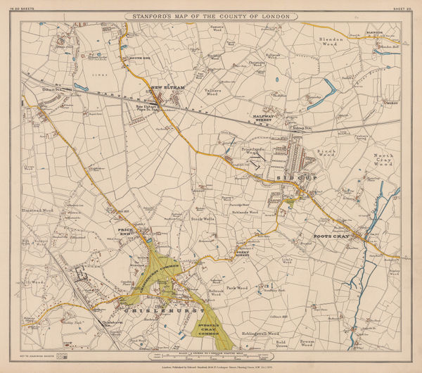
Edward Stanford, Eltham, Sidcup & Chislehurst, 1894£ 195.00
-
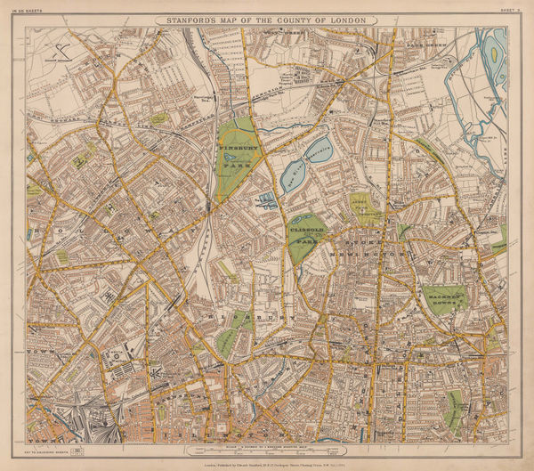
Edward Stanford, Stanford's Map of the County of London - Sheet 3, 1894£ 795.00
-
Edward Stanford, Stanford's Map of the County of London - Sheet 6, 1894£ 325.00
-
-
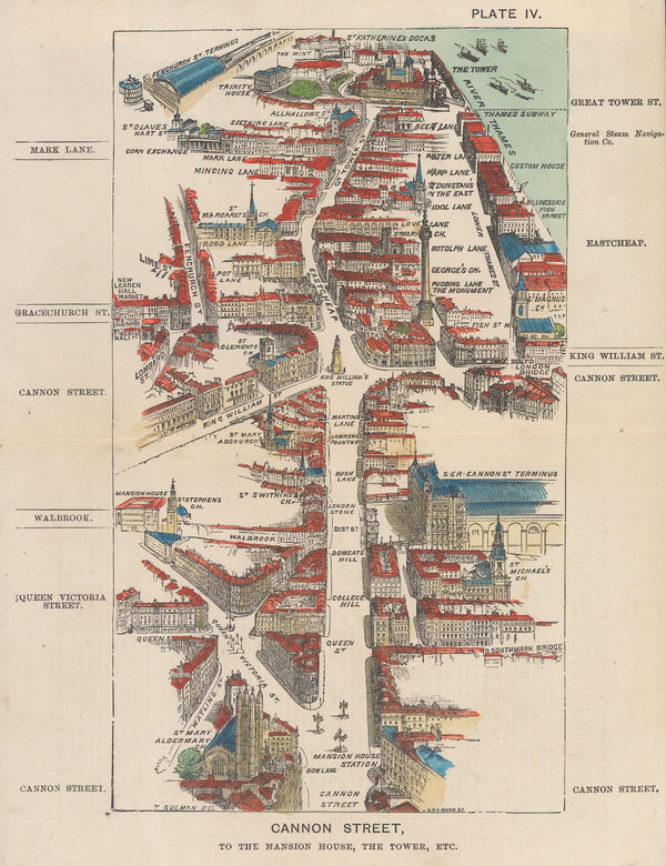
Thomas Sulman, Cannon Street, to the Mansion House, the Tower, etc, 1894£ 145.00
-
Edward Stanford, Hampton Wick, Kingston, Norbiton & Petersham, 1894£ 475.00
-
Edward Stanford, North West London, 1894£ 745.00
-
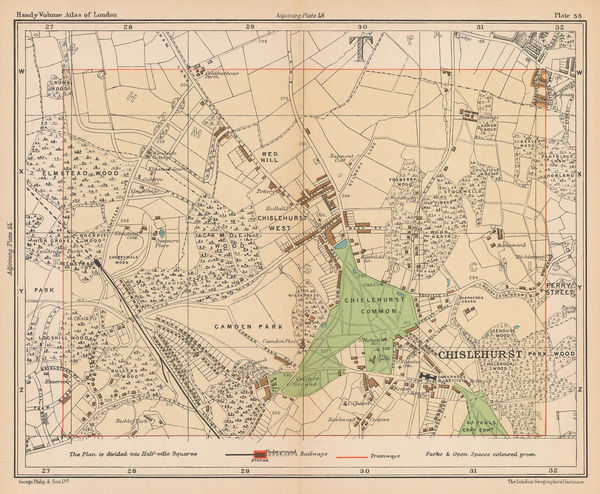
George Philip & Son Ltd., Chislehurst & Elmstead, 1895 c.£ 38.00
-
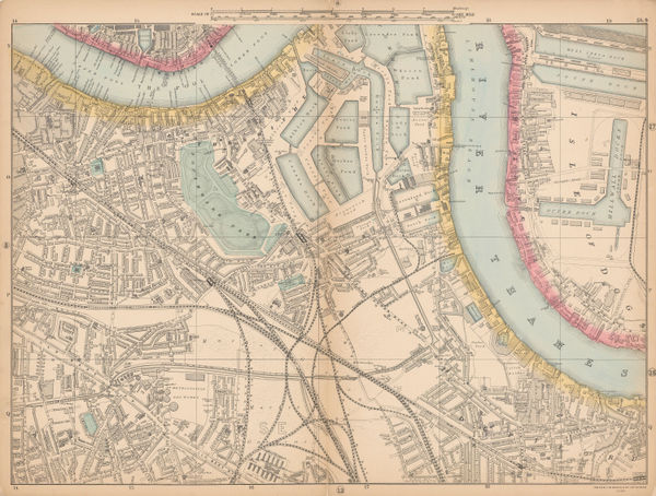
George W. Bacon, Bermondsey, Rotherhithe, Isle of Dogs & Deptford, 1895 c.£ 195.00
-
George W. Bacon, Wimbledon, Merton & Earlsfield, 1895 c.£ 445.00
-
John Bartholomew & Co., Isle of Dogs, Poplar, Deptford & Rotherhithe, 1896£ 72.00
-
George Philip & Son Ltd., Victoria Dock, Greenwich and Charlton, 1898£ 55.00
-
Edward Stanford, Stanford's Geological Map of London Shewing Superficial Deposits, 1899£ 425.00
-
Charles Booth, Battersea & Clapham Poverty Map, 1900£ 1,650.00
-
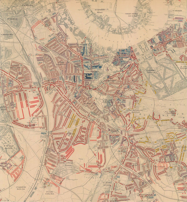
Charles Booth, Poverty Map of Greenwich, Deptford & Lewisham, 1900£ 1,275.00
-
Charles Booth, Poverty Map of Stoke Newington, Dalston, Haggerston & Hackney, 1900£ 795.00
-
Map Showing Places of Religious Worship, Public Elementary Schools, and Houses Licensed for the Sale of Intoxicating Drinks, 1900Charles BoothSeries: LondonCharles Booth, Map Showing Places of Religious Worship, Public Elementary Schools, and Houses Licensed for the Sale of Intoxicating Drinks, 1900£ 2,950.00
-
Charles Booth, Poverty Map of Bow, Poplar, Stepney & Limehouse, 1900£ 745.00
-
Charles Booth, Poverty Map of Peckham, Brixton & Camberwell, 1900£ 1,250.00
-
Charles Booth, Poverty Map of Notting Hill, Hammersmith & West Kensington, 1900£ 1,650.00
-
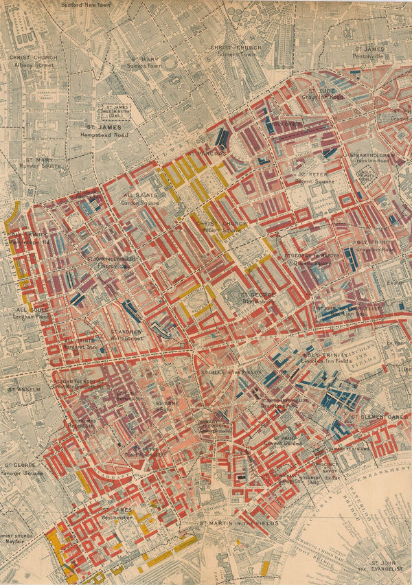
Charles Booth, West Central London, 1900£ 925.00
-
Charles Booth, Poverty Map of Islington, Highbury, & Stoke Newington, 1900£ 1,550.00
-
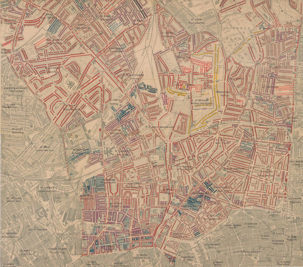
Charles Booth, Poverty Map of Camden, King's Cross & Kentish Town, 1900£ 985.00
-
George W. Bacon, Tottenham, Walthamstow, Edmonton & Epping Forest, 1900£ 195.00
-
Charles Booth, Poverty Map of Lambeth, Southwark & Bermondsey, 1900£ 1,850.00
-
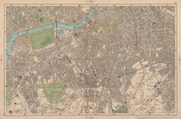
George W. Bacon, South & Southwest London, 1900£ 395.00
-
Charles Booth, East Central London, 1900£ 775.00
-
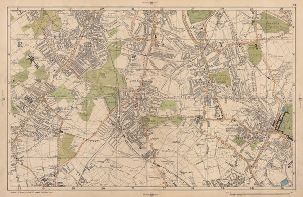
George W. Bacon, Tooting, Dulwich & Streatham, 1900£ 245.00
-
George W. Bacon, Twickenham, Teddington & Richmond Park, 1900£ 295.00
-
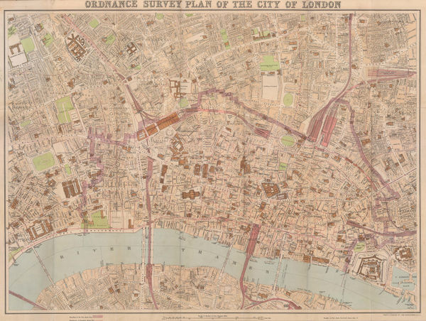
John Bartholomew, Ordnance Survey Plan of the City of London, 1900 (c.)£ 745.00
-
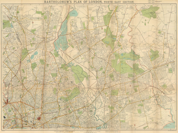
J.G. Bartholomew, North & East London, 1900 (c.)£ 375.00
-
John Bartholomew & Co., Plan of London, 1900 (c.)£ 445.00
-
Charles Baker & Co., Pictorial Map of London, 1900 (c.)£ 1,200.00
-
Thomas Kelly, West London, 1900 c£ 595.00
-
George Philip & Son Ltd., New Plan of London, 1900 c£ 950.00
-
George Philip & Son Ltd., Willesden, Cricklewood & Dollis Green, 1900 c.£ 36.00
-
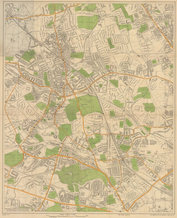
George Philip & Son Ltd., Golders Green, Brent Cross & Hendon, 1900 c.£ 44.00
-
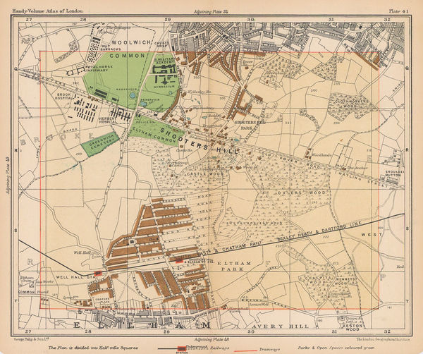
George Philip & Son Ltd., Shooters Hill & Eltham Park, 1900 c.£ 38.00
-
George W. Bacon, Large Scale Plan of Harrow, 1900 c.£ 115.00
-
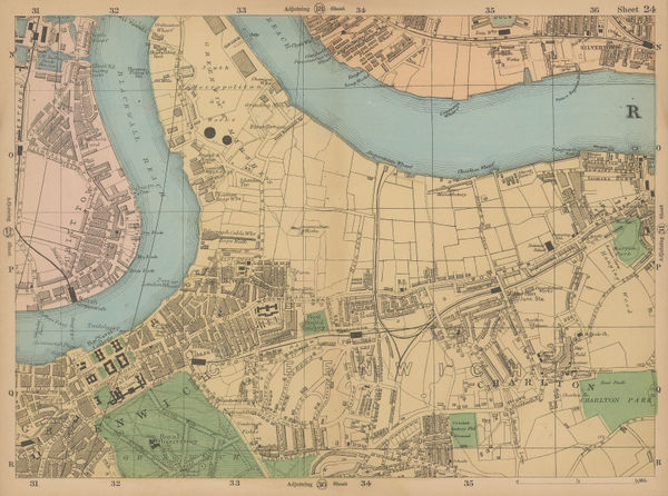
George W. Bacon, Greenwich & Charlton, 1900 c.£ 62.00
-
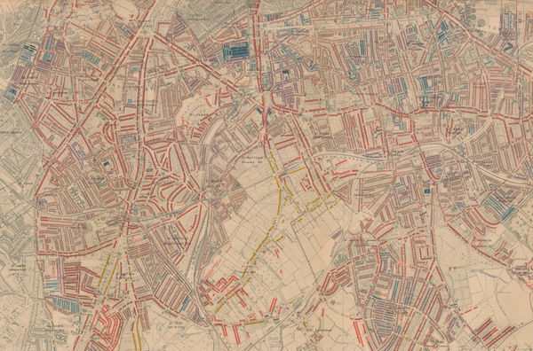
Charles Booth, Poverty Map of Hampstead and St. John's Wood, 1900 c.£ 1,350.00
-
Charles Booth, Poverty Map of West London, 1900 c.£ 4,950.00
-
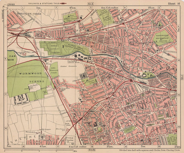
George W. Bacon, North Kensington, Kensal Green, Queens Park & Wormwood Scrubs, 1900 c.£ 165.00
-
-
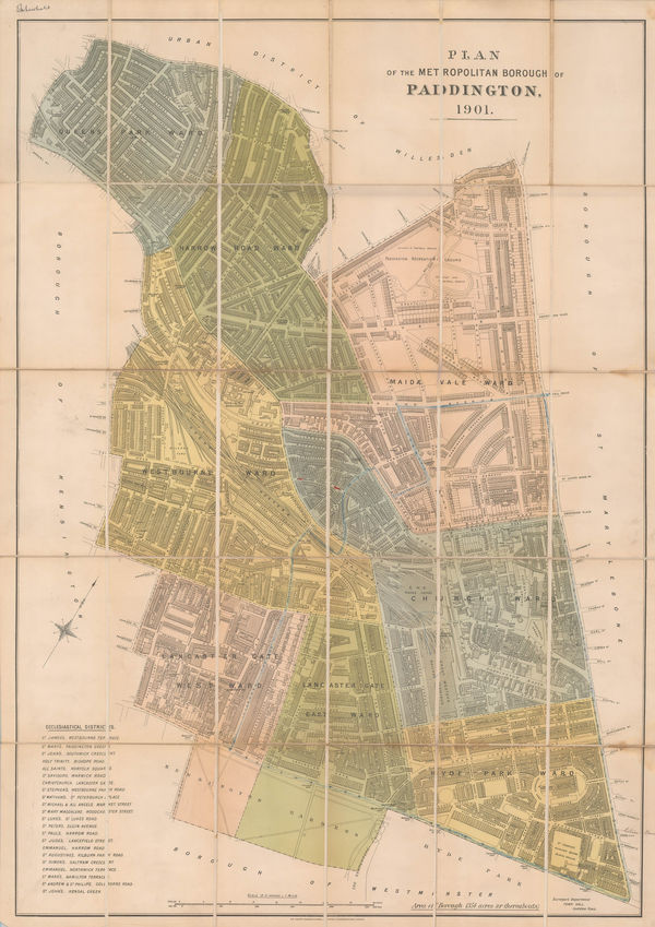
Sir Joseph Causton & Sons, The Metropolitan Borough of Paddington, 1901£ 950.00
-
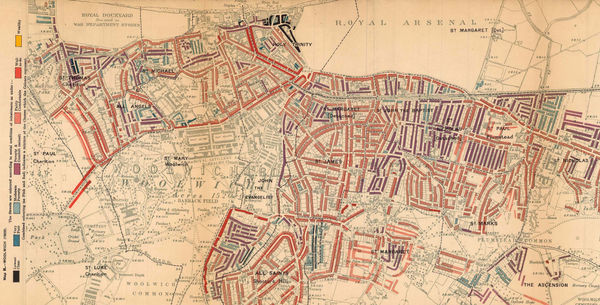
Charles Booth, Poverty Map of Woolwich & Plumstead, 1902£ 325.00
-
George W. Bacon, Bayswater, Kensington, Paddington, Kilburn & Queens Park, 1902£ 68.00
-
Charles Booth, Isle of Dogs, 1902£ 395.00
-
The "District Map" of Greater London and Environs - 1st Edition, 1902Sampson Low, Marston & CompanySeries: LondonSampson Low, Marston & Company, The "District Map" of Greater London and Environs - 1st Edition, 1902£ 400.00
-
Charles Edward Goad, Battersea Square, 1903£ 250.00
-
Charles Edward Goad, Battersea - Church Rd & Bolingbroke Walk, 1903£ 250.00
-
Geological Survey, Geological Map of London, 1904£ 725.00
-
The Underground Electric Railways of London, 1904Underground Electric Railways Company of London (UERL)Series: LondonUnderground Electric Railways Company of London (UERL), The Underground Electric Railways of London, 1904£ 2,800 (framed)
-
George Philip & Son Ltd., Hackney, Clapton, Leyton & Homerton, 1904£ 68.00
-
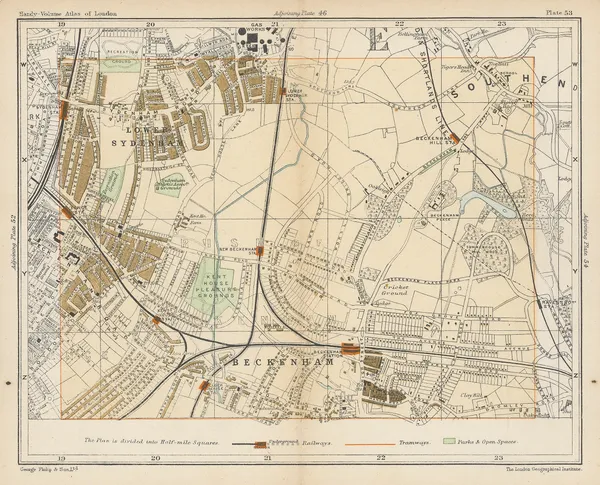
George Philip & Son Ltd., Lower Sydenham, Beckenham & Penge, 1904£ 58.00
-
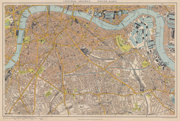
Edward Stanford, South London, 1904£ 445.00






























Page
5
of 8
