-
 Emanuel Bowen, An Accurate Map of the County of Northampton, 1777£ 425.00
 -
Emanuel Bowen, An Accurate Map of the County of Essex, 1778£ 725.00
-
Emanuel Bowen, An Accurate Map of the County of Hereford, 1778£ 395.00
-
Emanuel Bowen, Kitchin's Enlarged Map of the Roads of England & Wales, 1779£ 395.00
-
Antonio Zatta, Provinicia di Essex, 1779£ 165.00
-
Antonio Zatta, Provincia ai Middlesex, 1779£ 145.00
-
Richard Benning, Bristol, 1780£ 825.00
-
Thomas Bowen, A New and Accurate Map of England, 1780 (c.)£ 245.00
-
John Rocque, England and Wales, 1780 c.£ 1,750.00
-
Edward Hasted, An Accurate Map of the County of Kent, 1783£ 850.00
-
-
A Draught of Portland the Shambles and the Race of Portland, 1785Capt. Greenvile CollinsSeries: LondonCapt. Greenvile Collins, A Draught of Portland the Shambles and the Race of Portland, 1785£ 625.00
-
Carington Bowles, Bowles's New Medium Map of Cornwall, Divided into its Hundreds, 1785£ 295.00
-
Carington Bowles, Bowles's New Medium map of Hereford Shire, 1785£ 65.00
-
Capt. Greenvile Collins, Scarborough, Hartlepool, and Bridlington, 1785£ 275.00
-
Harwich, Woodbridg and Handfordwater with the Sands from Nazeland to Hosely Bay, 1785Capt. Greenvile CollinsSeries: LondonCapt. Greenvile Collins, Harwich, Woodbridg and Handfordwater with the Sands from Nazeland to Hosely Bay, 1785£ 1,250.00
-
Capt. Greenvile Collins, Plymouth, 1785£ 495.00
-
Capt. Greenvile Collins, Yarmouth and the Sands about it, 1785£ 395.00
-
Capt. Greenvile Collins, Sea Chart of Land's End & the Scilly Isles, 1785£ 445.00
-
Capt. Greenvile Collins, Sea Chart of the Devon Coast, 1785£ 595.00
-
Capt. Greenvile Collins, Isle of Wight, 1785£ 1,250.00
-
Capt. Greenvile Collins, Bristol, 1785£ 445.00
-
Carington Bowles, Sussex, 1785£ 325.00
-
John Chapman & Peter André, Monumental Wall Map of Essex, 1785£ 4,500.00
-
Bowles & Carver, Worcestershire, 1785 c£ 195.00
-
Thomas Kitchin, Oxfordshire, 1786£ 82.00
-
John Seller, Berkshire, 1787£ 95.00
-
John Seller, Devon, 1787£ 125.00
-
John Seller, Essex, 1787£ 62.00
-
John Seller, Hertfordshire, 1787£ 55.00
-
John Seller, Lancashire, 1787£ 85.00
-
Jeremiah Seller, Somersetshire, 1787£ 82.00
-
John Seller, Staffordshire, 1787£ 58.00
-
John Cary, Worcestershire, 1787£ 85.00
-
John Seller, Dorsetshire, 1787£ 95.00
-
John Harrison, A Map of Derbyshire, 1789£ 125.00
-
John Harrison, A Map of Oxfordshire, 1790£ 175.00
-
John Cary, Cambridgeshire, 1790£ 35.00
-
John Cary, Rutlandshire, 1790£ 30.00
-
John Cary, Somersetshire, 1790£ 25.00
-
T. & E. Bowen, Staffordshire Divided into Hundreds, 1790 c.£ 185.00
-
William Faden, Hampshire, or the County of Southampton, 1791£ 4,500.00
-
John Stockdale, Manchester, 1793£ 775.00
-
John Cary, Essex, 1793£ 115.00
-
John Cary, Kent, 1793£ 115.00
-
J. Lindley and W. Crosley, Map of the County of Surrey, 1793£ 4,450.00
-
John Cary, Staffordshire, 1793£ 72.00
-
John Cary, Westmoreland, 1793£ 72.00
-
John Cary, Cumberland, 1793£ 88.00
-
Laurie & Whittle, Sea Chart of the Devon Coast from Exmouth Bar to Stoke Point, 1794£ 650.00
-
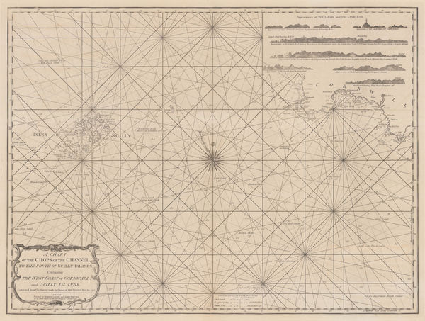
A Chart of the Chops of the Channel, to the South of Scilly Islands: Containing the West Coast of Cornwall and Scilly Islands, 1795Laurie & WhittleSeries: LondonLaurie & Whittle, A Chart of the Chops of the Channel, to the South of Scilly Islands: Containing the West Coast of Cornwall and Scilly Islands, 1795£ 545.00
-
Franz Von Reilly, Das Konigreich England Nach Kitchin, 1795£ 380.00
-
William Faden, A Topographical Map of the County of Sussex, 1795£ 3,500.00
-
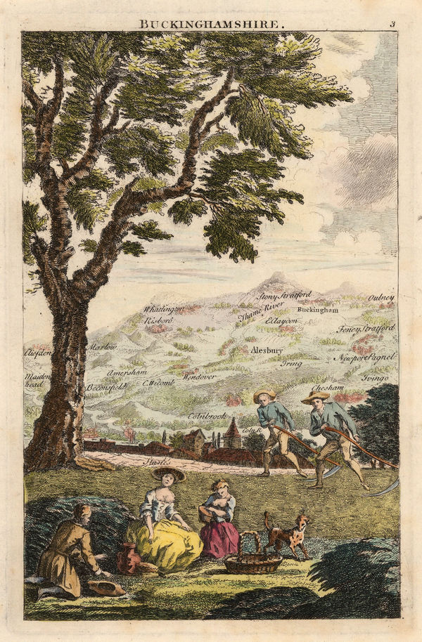
George Bickham, Buckinghamshire, 1796£ 175.00
-
George Bickham, Hertfordshire, 1796£ 185.00
-
Geography Bewitched! or, a droll Caricature map of England & Wales, 1797Robert DightonSeries: LondonRobert Dighton, Geography Bewitched! or, a droll Caricature map of England & Wales, 1797£ 4,000.00
-
The County of Suffolk, reduced from the Large Map in Six Sheets Surveyed by Joseph Hodskinson; & planned from a Scale of Half an Inch to One Mile, 1797William FadenSeries: LondonWilliam Faden, The County of Suffolk, reduced from the Large Map in Six Sheets Surveyed by Joseph Hodskinson; & planned from a Scale of Half an Inch to One Mile, 1797£ 650.00
-
Laurie & Whittle, Plymouth Sound, Hamoaze & Catwater, 1798£ 595.00
-
Robert Wilkinson, Roman Britain, 1800£ 165.00
-
Robert Wilkinson, Saxon England, 1800£ 185.00
-
Robert Wilkinson, Roman Britain, 1800£ 145.00
-
John Cary, Warwickshire, 1800 c.£ 45.00
-
William Faden, A Map of England, Wales and Scotland, 1801£ 825.00
-
T. Chantry, Bath, 1801£ 1,750.00
-
John Cary, A New Map of Bedfordshire, 1801£ 245.00
-
John Cary, A New Map of Berkshire, 1801£ 425.00
-
John Cary, A New Map of Buckinghamshire, 1801£ 325.00
-
John Cary, A New Map of Cumberland, 1801£ 295.00
-
John Cary, A New Map of Derbyshire, 1801£ 295.00
-
John Cary, A New Map of Essex, 1801£ 445.00
-
John Cary, A New Map of Hertfordshire, 1801£ 275.00
-
John Cary, A New Map of Huntingdonshire Divided into Hundreds, 1801£ 75.00
-
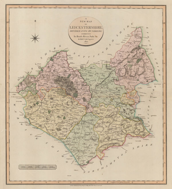
John Cary, A New Map of Leicestershire, 1801£ 395.00
-
John Cary, A New Map of Middlesex, 1801£ 525.00
-
A New Map of Nottinghamshire divided into Hundreds exhibiting its Roads, Rivers, Parks &c., 1801John CarySeries: LondonJohn Cary, A New Map of Nottinghamshire divided into Hundreds exhibiting its Roads, Rivers, Parks &c., 1801£ 285.00
-
John Cary, A New Map of Somersetshire, 1801£ 395.00
-
John Cary, A New Map of Sussex, 1801£ 545.00
-
John Cary, A New Map of Westmoreland, 1801£ 245.00
-
John Cary, A New Map of Worcestershire, 1801£ 295.00
-
John Wilkes, Berkshire, 1801£ 78.00


Page
6
of 15