-
 Henry George Collins, Gloucestershire, 1850 c.£ 115.00
 -
 Henry George Collins, Herefordshire, 1850 c.£ 62.00
 -
 Henry George Collins, Hertfordshire, 1850 c.£ 82.00
 -
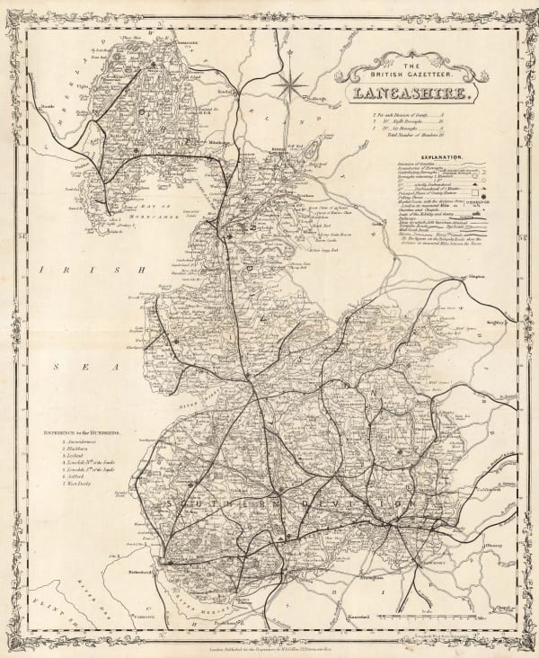
 Henry George Collins, Lancashire, 1850 c.£ 88.00
 -
 George Frederick Cruchley, Middlesex, 1850 c.£ 48.00
 -
 Henry George Collins, Nottinghamshire, 1850 c.£ 68.00
 -
 Henry George Collins, Shropshire, 1850 c.£ 62.00
 -
 Henry George Collins, Staffordshire, 1850 c.£ 88.00
 -
 Henry George Collins, Sussex, 1850 c.£ 125.00
 -
 Wallis's Picturesque Round Game of the Produce and Manufactures of the Counties of England and Wales, 1850 c.Edward WallisSeries: LondonEdward Wallis, Wallis's Picturesque Round Game of the Produce and Manufactures of the Counties of England and Wales, 1850 c.£ 1,250.00
 -
 Henry George Collins, Warwickshire, 1850 c.£ 68.00
 -
 Henry George Collins, Westmoreland, 1850 c.£ 72.00
 -
 Henry George Collins, Yorkshire, 1850 c.£ 450.00
 -
 George Frederick Cruchley, Wall Map of Devon, 1850 c.£ 650.00
 -
 Henry George Collins, Worcestershire, 1850 c.£ 95.00
 -
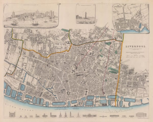
 Society for the Diffusion of Useful Knowledge (SDUK), Liverpool, 1850 c.£ 295.00
 -
 John Tallis, Bath, 1851£ 625.00
 -
 John Tallis, Birmingham, 1851£ 475.00
 -
 John Tallis, Bradford, Yorkshire, 1851£ 160.00
 -
 John Tallis, Brighton, 1851£ 395.00
 -
 John Tallis, Exeter, 1851£ 325.00
 -
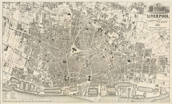
 Henry George Collins, Liverpool, 1851£ 125.00
 -
 John Tallis, Newcastle on Tyne, 1851£ 295.00
 -
 John Tallis, Sheffield, 1851£ 245.00
 -
 John Tallis, Tallis's Railway Map of Great Britain, 1851£ 475.00
 -
 John Tallis, York, 1851£ 295.00
 -
 John Tallis, Leeds, 1851£ 395.00
 -
 John Tallis, The Lake District, 1851£ 375.00
 -
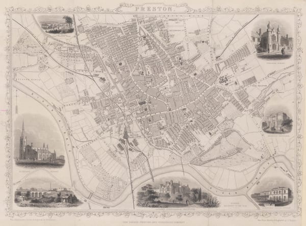
 John Tallis, Preston, 1851£ 345.00
 -
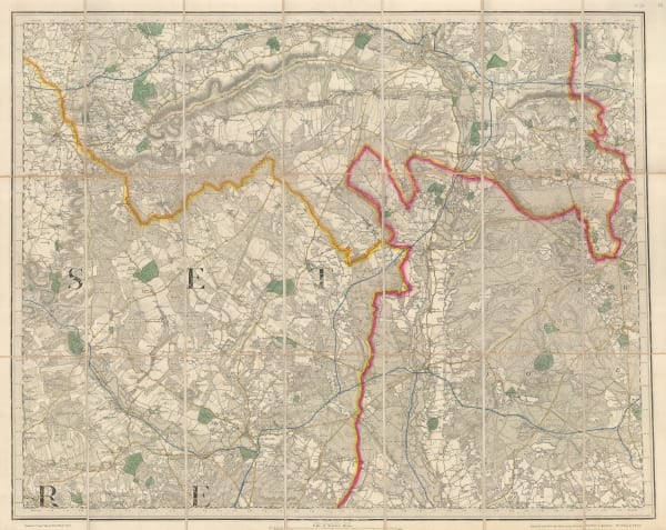
 George Frederick Cruchley, Cruchley's Reduced Ordnance Map - Sheet 25, 1854£ 550.00
 -
 John Tallis, England and Wales, 1855£ 495.00
 -
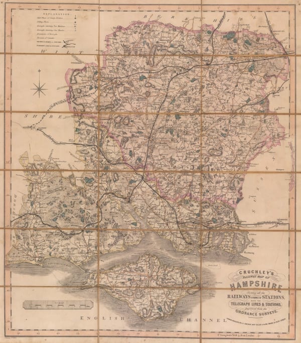
 George Frederick Cruchley, Railway map of Hampshire, 1855£ 225.00
 -
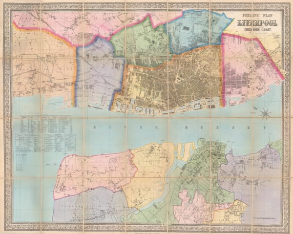
 George Philip & Son Ltd., Liverpool, 1855 (c.)£ 850.00
 -
 Samuel Lewis, Herefordshire, 1858£ 35.00
 -
 W. Saunders, Brighton, 1858£ 1,450.00
 -
 Samuel Lewis, Rutlandshire, 1858£ 22.00
 -
 Archibald Fullarton, Scilly Isles, 1860 (c.)£ 75.00
 -
 Victor Levasseur, Carte Administrative et Physique de L'Angleterre, 1860 c.£ 175.00
 -
 George Frederick Cruchley, Cruchley's Reduced Ordnance Map - Sheet 26, 1860 c.£ 295.00
 -
 J. Lavars, Bristol, 1860 c.£ 645.00
 -
 Liverpool with Birkenhead, Tranmere, Seacombe, New Brighton &c., 1860 c.Archibald FullartonSeries: London, Edinburgh & DublinArchibald Fullarton, Liverpool with Birkenhead, Tranmere, Seacombe, New Brighton &c., 1860 c.£ 125.00
 -
 Archibald Fullarton, Plan of Portsmouth, 1860 c.£ 78.00
 -
 William Figg, Map of the County of Sussex, 1861£ 3,500.00
 -
 Edward Weller, Berkshire, 1863£ 35.00
 -
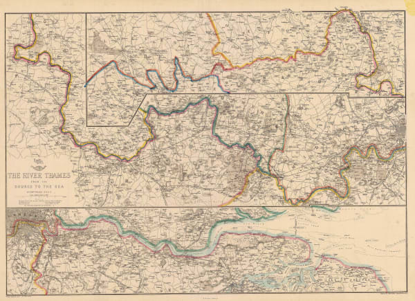
 Edward Weller, The River Thames: From the Source to the Sea, 1863£ 145.00
 -
 Ordnance Survey, England - Warwick to Suffolk, 1863£ 645.00
 -
 Ordnance Survey, England - Leicestershire to Norfolk, 1864£ 645.00
 -
 Ordnance Survey, England - Lincolnshire, Nottinghamshire & Norfolk, 1864£ 645.00
 -
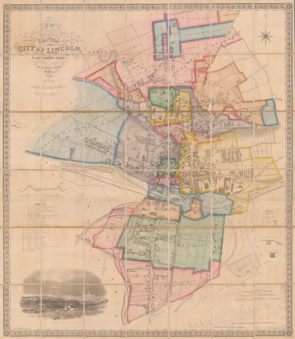
 James Sandby Padley, Lincoln, 1868£ 1,950.00
 -
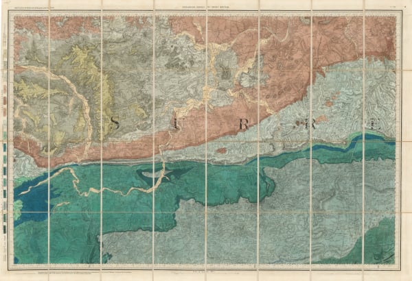
 Ordnance Survey, Geological map of Western Surrey, 1868£ 375.00
 -
 Aleph, England, 1869£ 1,950.00
 -
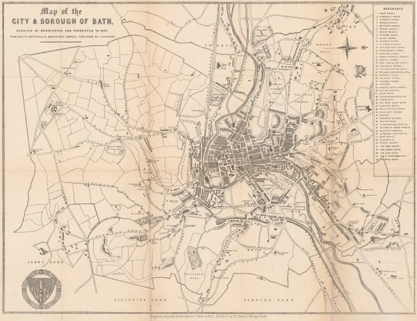
 R.E. Peach, Bath, 1870£ 195.00
 -
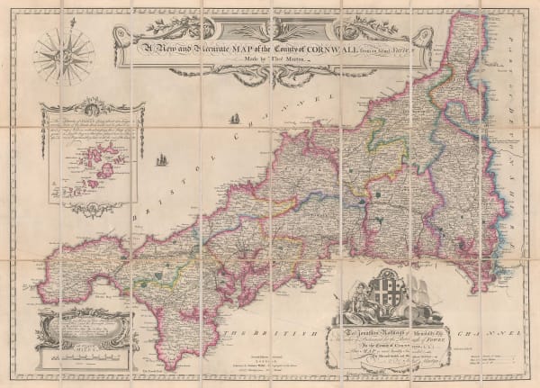
 Thomas Martyn, A New and Accurate Map of the County of Cornwall, 1870 c.£ 1,550.00
 -
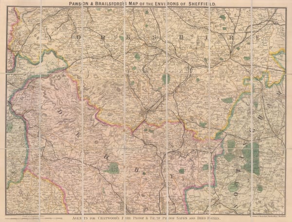
 Pawson & Brailsford, Sheffield, 1870 c.£ 250.00
 -
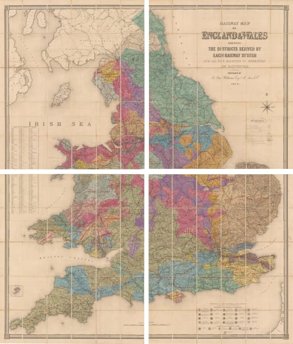
 Railway Map of the England and Wales Shewing the Districts Served by Each Railway System, 1872Edward StanfordSeries: LondonEdward Stanford, Railway Map of the England and Wales Shewing the Districts Served by Each Railway System, 1872£ 3,950.00
 -
 Ordnance Survey, Wimborne, Blandford, Shaftesbury, Lynhurst, Salisbury & Ringwood, 1872£ 295.00
 -
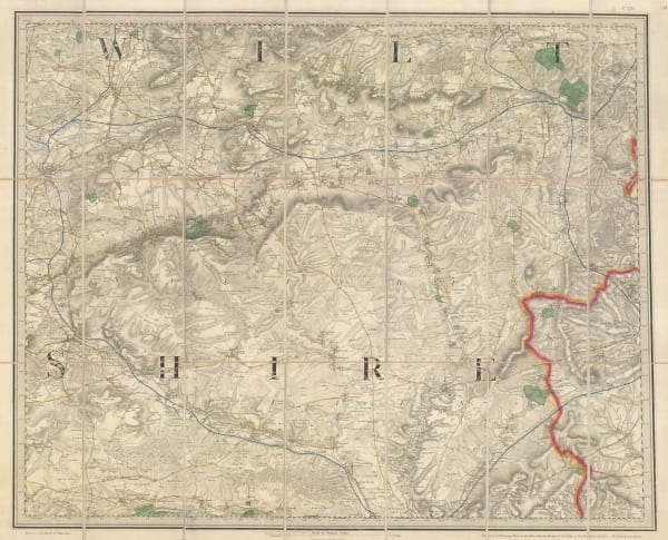
 Ordnance Survey, Warminster, Devizes, Marlborough & Amesbury, 1872£ 195.00
 -
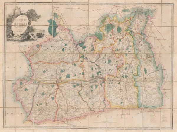
 James Wyld, Map of the County of Surrey, 1874£ 585.00
 -
 Chart Shewing the Wrecks & Casualties on the Coasts of England & Wales, 1875Board of Trade Wreck RegisterSeries: LondonBoard of Trade Wreck Register, Chart Shewing the Wrecks & Casualties on the Coasts of England & Wales, 1875£ 345.00
 -
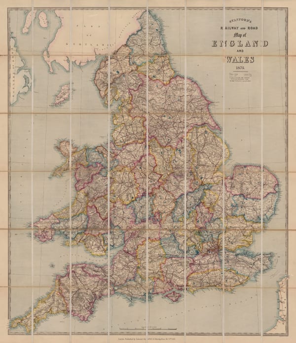
 Edward Stanford, Railway and Road Map of England and Wales, 1875£ 485.00
 -
 George W. Bacon, Bristol, 1875 (c.)£ 185.00
 -
 Sir Andrew Crombie Ramsay, Geological Map of England & Wales, 1876£ 725.00
 -
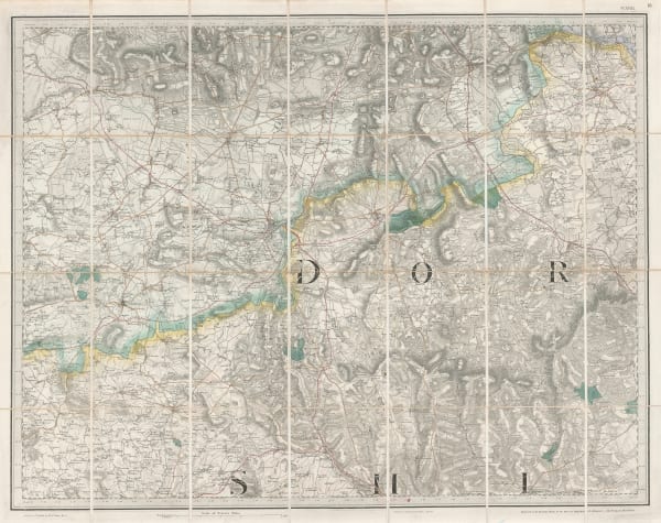
 Ordnance Survey, One-Inch Map of Dorset & Somerset around Yeovil, 1878£ 325.00
 -
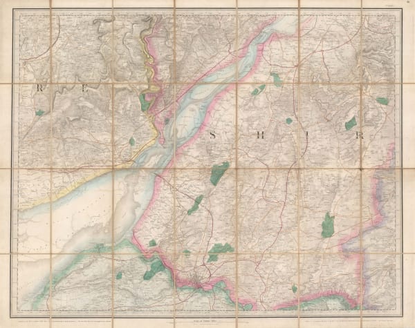
 Ordnance Survey, Bristol, the Cotswolds, Chepstow & the Severn, 1880£ 295.00
 -
 Joseph Hardwick, Bradford, 1880£ 1,500.00
 -
 Ordnance Survey, Cornwall - Padstow to Camelford, 1880 (c.)£ 145.00
 -
 Ordnance Survey, Bath & Chippenham (Sheet 265), 1880 (c.)£ 125.00
 -
 J. & C. Walker, Cornwall, 1880 c.£ 125.00
 -
 J. van Voorst, Geological Map of Surrey, 1880 c.£ 485.00
 -
 Ordnance Survey, Index to the Ordnance Survey of the County of Surrey., 1880 c.£ 350.00
 -
 W. & A.K. Johnston, Cornwall, 1880 c.£ 65.00
 -
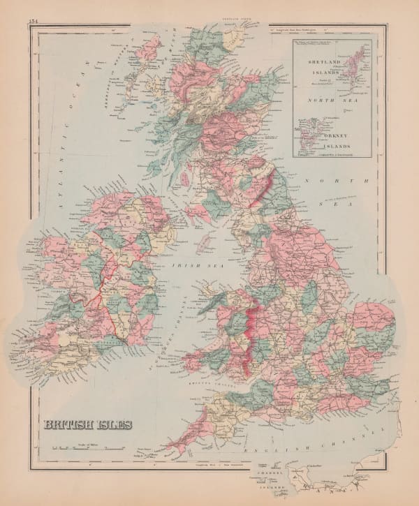
 O.W. Gray & Son, British Isles, 1881£ 175.00
 -
 British Admiralty, Cowes Harbour, 1882£ 1,150.00
 -
 Ordnance Survey, Geological Survey of England and Wales, 1882£ 120.00
 -
 A. Simon, Southampton, 1883£ 125.00
 -
 Ordnance Survey, Geological Survey of England and Wales, 1883£ 120.00
 -
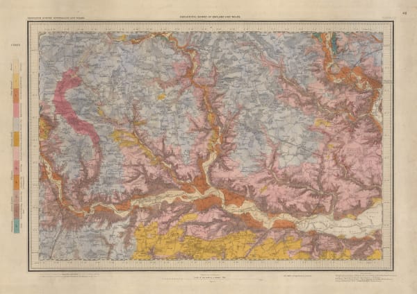
 Ordnance Survey, Geological Survey of Great Britain, 1884£ 375.00
 -
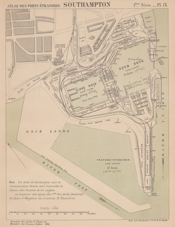
 A. Simon, Southampton, 1884£ 82.00
 -
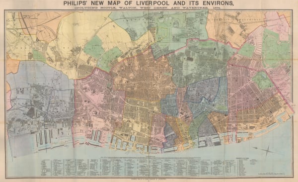
 George Philip & Son Ltd., Liverpool, 1884£ 550.00
 -
 George W. Bacon, Birmingham, 1886£ 95.00
▪ England
Our entire inventory of over 10,000 antique and vintage maps is now available to browse by region, date, cartographer, and subject
Page
12
of 15


