
-
 Edward Stanford, Map of the Ionian Islands and Malta, 1898£ 275.00
-
Edward Stanford, Cyprus, 1904£ 75.00
-
Edward Stanford, Valetta, Malta, 1907£ 55.00
-
Geographical Section, General Staff (GSGS), Map of the Island of Malta, 1910 c.£ 850.00
-
W. & A.K. Johnston, Sailing Routes to Egypt & the Holy Land, 1911£ 75.00
-
E. Fonne, Ajaccio, 1914£ 55.00
-
Robert & Cie, Vintage road map of Corsica, 1920 c£ 495.00
-
Cartes Tarides, Road map of Corsica, 1922 c.£ 145.00
-
Turkish Admiralty, Western Mediterranean, 1925 c£ 275.00
-
British Admiralty, Chart of Sardinia on two sheets, 1927£ 1,250.00
-
British Admiralty, Malta and Gozo Islands, 1934£ 1,750.00
-
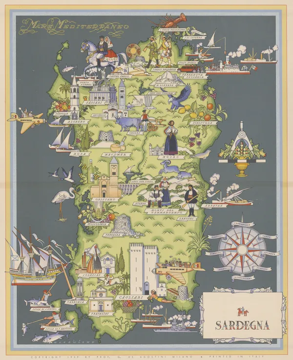
Giovanni De Agostini, Sardinia, 1941£ 525.00
-
Ordnance Survey, Cyprus Motor Map, 1947£ 295.00
-
Hachette, Vintage map of Corsica, 1950£ 115.00
-
Giovanni De Agostini, Sardegna, 1950 c.£ 185.00
-
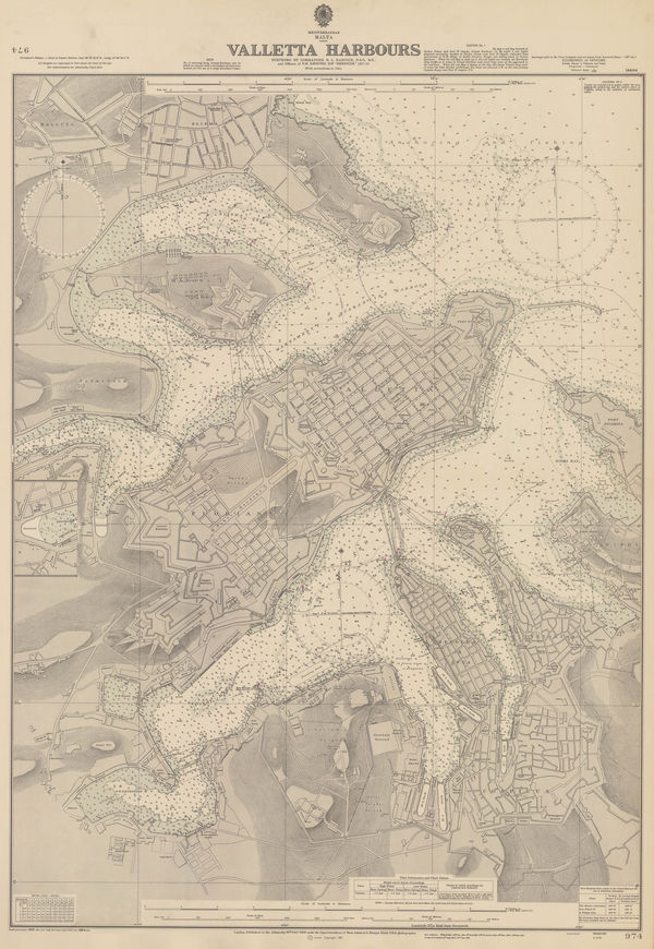
British Admiralty, Valletta Harbours, 1964£ 325.00
-
Ditta Vannucci, Vintage map of Elba, 1973£ 180.00





Page
2
of 2
