-
 Robert Kearsley Dawson, Athlone, 1832£ 75.00
 -
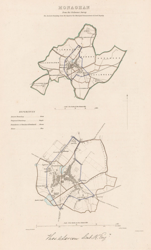
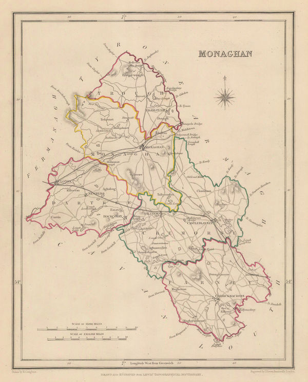
Robert Kearsley Dawson, Monaghan, 1832£ 75.00
-
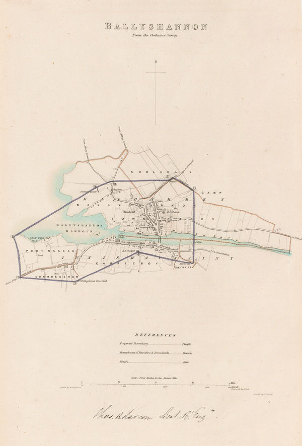
Robert Kearsley Dawson, Ballyshannon, Co. Donegal, 1832£ 75.00
-
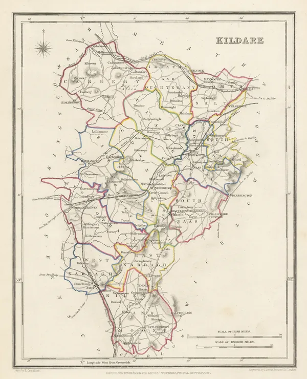
Samuel Lewis, Kildare, 1840 c£ 85.00
-
Samuel Lewis, Wicklow, 1840 c£ 95.00
-
Samuel Lewis, Cavan, Westmeath, & Meath, 1840 c.£ 45.00
-
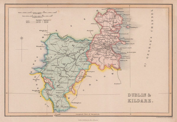
Samuel Lewis, Dublin & Kildare, 1840 c.£ 65.00
-
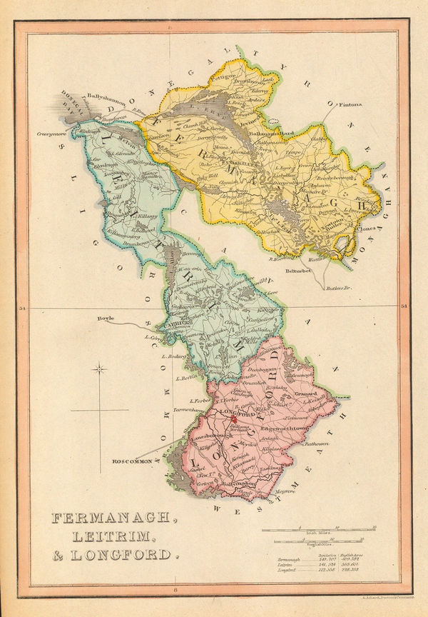
Samuel Lewis, Fermanagh, Leitrim & Longford, 1840 c.£ 50.00
-
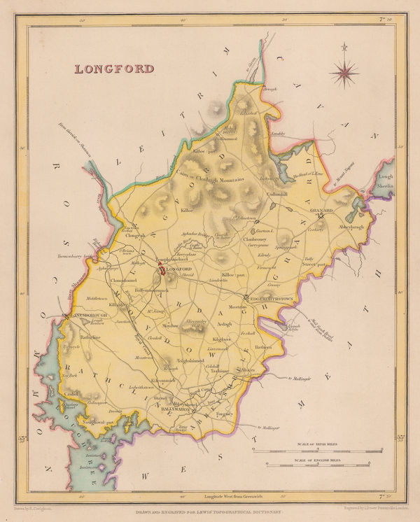
Samuel Lewis, Longford, 1840 c.£ 62.00
-
John Arrowsmith, Ireland, 1842£ 345.00
-
Isaac Slater, Ireland with railways and canals, 1845£ 825.00
-
Samuel Augustus Mitchell, Ireland, 1849£ 245.00
-
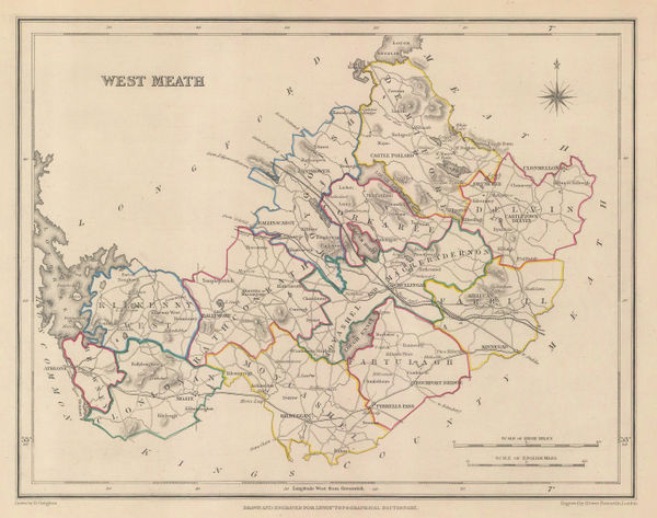
Samuel Lewis, West Meath, 1850£ 75.00
-
Samuel Lewis, Cavan, 1850£ 75.00
-
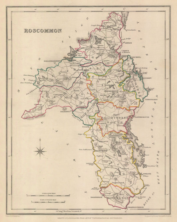
Samuel Lewis, Roscommon, 1850£ 75.00
-
Samuel Lewis, Monaghan, 1850£ 75.00
-
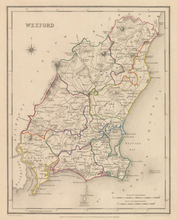
Samuel Lewis, Wexford, 1850£ 75.00
-
Samuel Lewis, Donegal, 1850£ 125.00
-
Samuel Lewis, Fermanagh, 1850£ 95.00
-
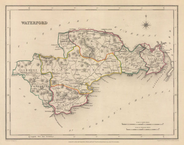
Samuel Lewis, Waterford, 1850£ 95.00
-
-
Samuel Lewis, Antrim, 1850£ 75.00
-
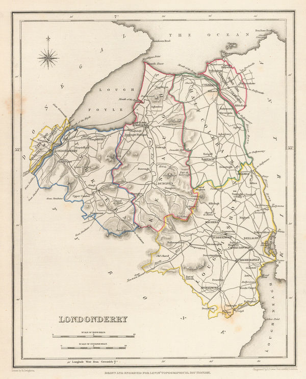
Samuel Lewis, Londonderry, 1850£ 125.00
-
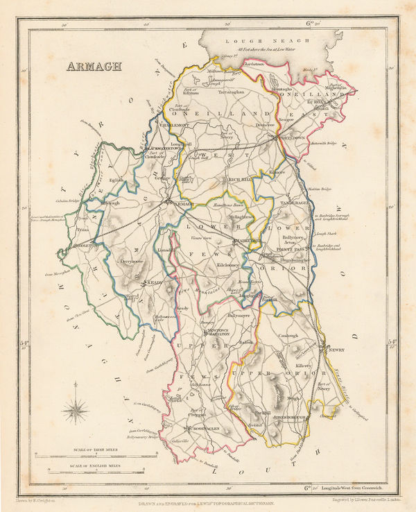
Samuel Lewis, Armagh, 1850£ 95.00
-
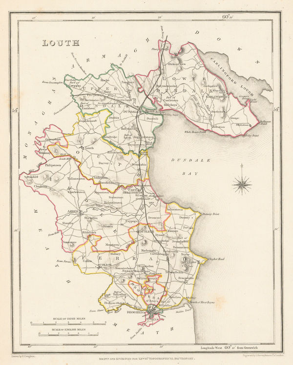
Samuel Lewis, Louth, 1850£ 95.00
-
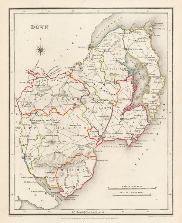
Samuel Lewis, Down, 1850£ 125.00
-
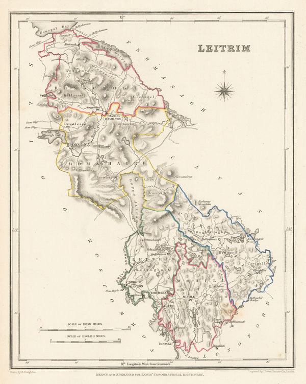
Samuel Lewis, Leitrim, 1850£ 85.00
-
Samuel Lewis, Tyrone, 1850£ 95.00
-
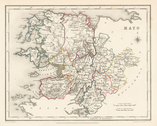
Samuel Lewis, Mayo, 1850£ 95.00
-
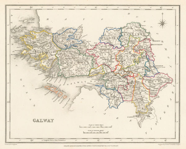
Samuel Lewis, Galway, 1850£ 145.00
-
Samuel Lewis, Map of Ireland, 1850£ 475.00
-
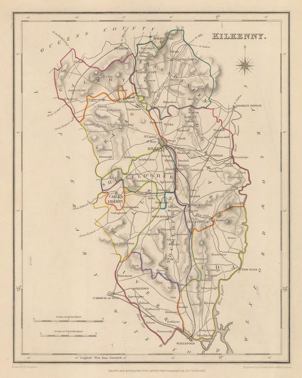
Samuel Lewis, Kilkenny, 1850£ 85.00
-
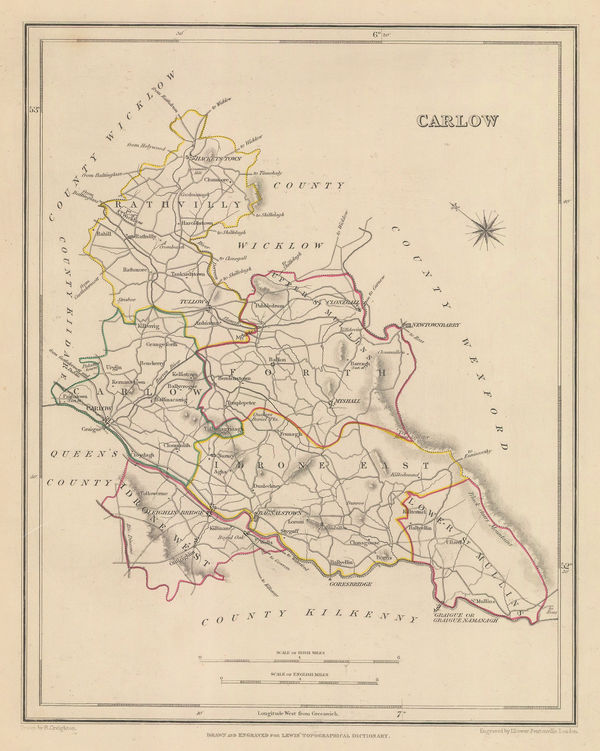
Samuel Lewis, Carlow, 1850£ 75.00
-
John Tallis, Belfast, 1851£ 395.00
-
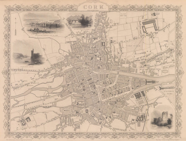
John Tallis, Cork, 1851£ 375.00
-
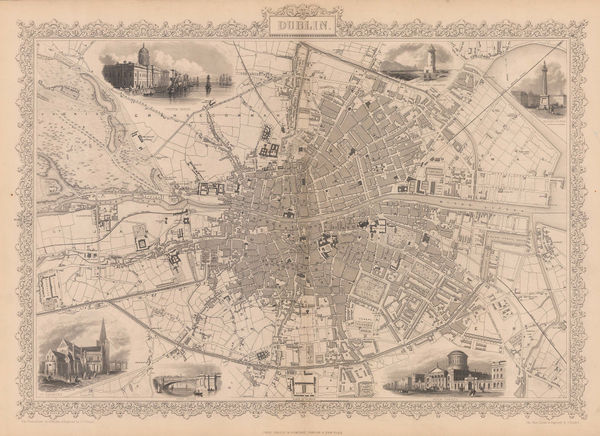
John Tallis, Dublin, 1851£ 725.00
-
John Tallis, Ireland, 1851£ 445.00
-
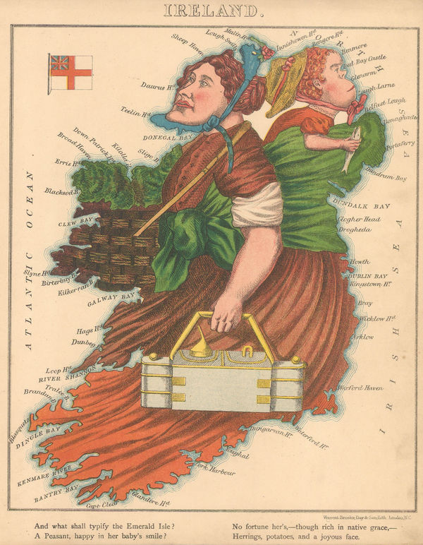
Aleph, Scarce caricature map of Ireland, 1869£ 1,950.00
-
John Bartholomew, The Lakes of Killarney and Environs, 1877£ 145.00
-
Edward Stanford, Geological Map of Ireland, 1878£ 1,200.00
-
Society for the Diffusion of Useful Knowledge (SDUK), Ireland, 1879£ 235.00
-
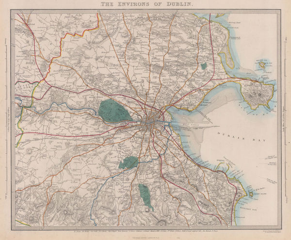
Society for the Diffusion of Useful Knowledge (SDUK), The Environs of Dublin, 1879£ 245.00
-
Letts & Son, Ireland, 1881£ 185.00
-
Henry Cuthbert Tunison, Ireland, 1885 (c.)£ 95.00
-
Arbuckle Brothers Company, Ireland, 1889£ 175.00
-
George W. Bacon, Dublin, 1890 c.£ 225.00
-
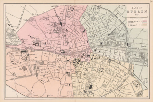
George W. Bacon, Plan of Dublin, 1895 c.£ 175.00
-
George W. Bacon, Ireland, 1898£ 75.00
-
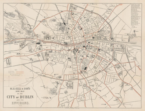
M. H. Gill, New Map of the City of Dublin, 1900£ 495.00
-
John Bartholomew, Belfast, 1902£ 65.00
-
George W. Bacon, Library Map of the Province of Ulster, 1910 c.£ 495.00
-
Enciclopedia Segui, Belfast, 1910 c.£ 95.00
-
John Bartholomew & Co., Cork and its environs, 1911£ 58.00
-
J.G. Bartholomew, Dublin, 1911£ 95.00
-
John Bartholomew & Co., Limerick, 1911£ 58.00
-
John Bartholomew & Co., Cork, 1911£ 75.00
-
Edward Stanford, Killarney and its Lakes, 1912£ 78.00
-
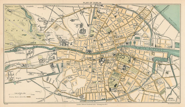
Edward Stanford, Dublin, 1912£ 78.00
-
John Bartholomew, Giants Causeway, 1912£ 78.00
-
Edward Stanford, Cork and environs, 1912£ 75.00
-
Edward Stanford, Geological Map of Ireland, 1912£ 55.00
-
Edward Stanford, Cork, 1912£ 95.00
-
Edward Stanford, Londonderry, 1912£ 95.00
-
George W. Bacon, Plan of Belfast, 1920 c£ 450.00
-
Ordnance Survey, Belfast, 1923£ 485.00
-
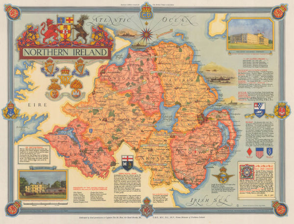
Ernest Clegg, Northern Ireland, 1947£ 250.00
-
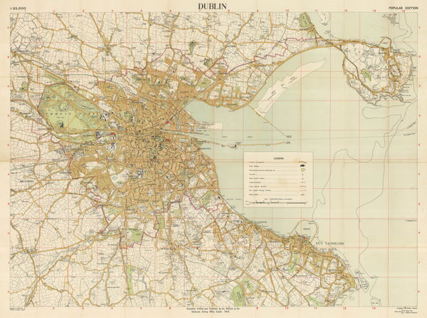
Ordnance Survey, Dublin, 1948£ 225.00


Page
2
of 2