-
 British Admiralty, Plan of the City, Environs and Anchorage of Girgenti, 1823£ 275.00
 -
John William Norie, A New Chart of the Coasts of England and Holland, 1824£ 2,250.00
-
Chart of Part of the North Eastern Coast of America, and its adjacent Islands, 1824Sir William Edward ParrySeries: LondonSir William Edward Parry, Chart of Part of the North Eastern Coast of America, and its adjacent Islands, 1824£ 545.00
-
British Admiralty, Plan of the City, Harbours, & Environs of Alexandria, 1825£ 500.00
-
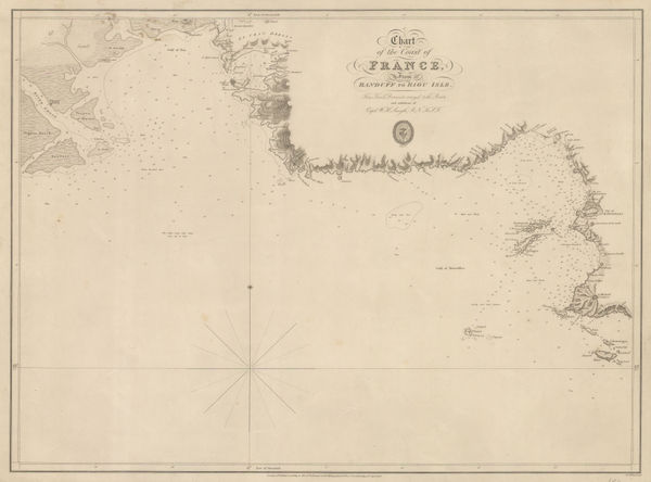
British Admiralty, Chart of the Coast of France, 1826£ 160.00
-
British Admiralty, The Coast of Italy from Naples to Cape Vaticano, 1827£ 200.00
-
British Admiralty, Sea Chart of the coast of Mozambique, 1828£ 145.00
-
British Admiralty, Sea Chart of the coast of Mozambique, 1828£ 225.00
-
Chart of the North Coast of Africa from Ras al Halal to Alexandria, 1833British AdmiraltySeries: LondonBritish Admiralty, Chart of the North Coast of Africa from Ras al Halal to Alexandria, 1833£ 180.00
-
British Admiralty, Plan of the Harbour of Tripoli, 1835£ 300.00
-
British Admiralty, The Harbour and Bays of Trincomalee, 1835 c.£ 490.00
-
Spanish Admiralty, Chart of Florida, Bahamas and Cuba , 1838£ 4,850.00
-
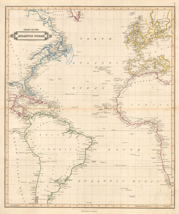
Daniel & William Lizars, Chart of the Atlantic Ocean, 1840 c.£ 145.00
-
French Admiralty, Chart of the Gulf of Mexico, 1843£ 885.00
-
British Admiralty, France South Coast: Port Vendre, 1843£ 50.00
-
Otranto to Monopoli in Italy and Ragusa to Port Palermo in Albania, 1843British AdmiraltySeries: LondonBritish Admiralty, Otranto to Monopoli in Italy and Ragusa to Port Palermo in Albania, 1843£ 185.00
-
-
William Hutcheon Hall, East coast of China from Canton to Nanking , 1845£ 345.00
-
British Admiralty, Chart of the North Polar Sea, 1849£ 950.00
-
General Chart - Farallones Entrance to the Bay of San Francisco, 1850Cadwalader RinggoldSeries: Washington, D.C.Cadwalader Ringgold, General Chart - Farallones Entrance to the Bay of San Francisco, 1850£ 1,950.00
-
French Admiralty, Chart of False Bay, 1852£ 475.00
-
British Admiralty, Chart of the Black Sea, 1853£ 875.00
-
British Admiralty, Balaklava Bay, 1854£ 325.00
-
British Admiralty, Baltic Sea, 1854£ 985.00
-
British Admiralty, Chart of the coast of Costa Rica, 1854£ 200.00
-
James Wyld, Baltic Sea, 1854£ 985.00
-
Alexander Dallas Bache, Preliminary Chart of Plymouth Harbor, 1854£ 125.00
-
British Admiralty, St. Petersburg Bay, 1855£ 675.00
-
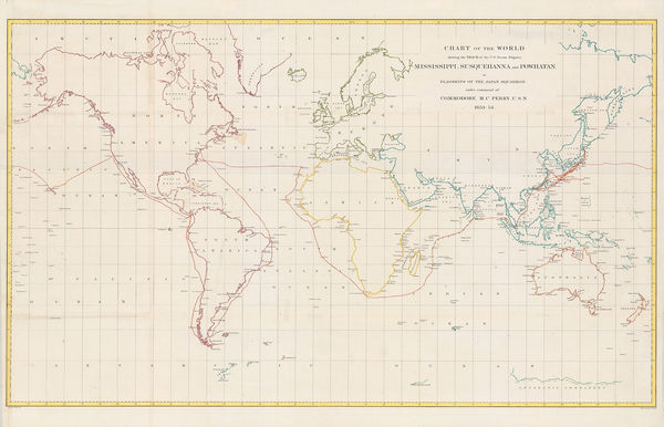
Matthew Perry, Chart of the World, 1856£ 950.00
-
Service Hydrographique de la Marine, Rare chart of Panarea, Aeolian Islands, 1860£ 350.00
-
James Imray, Coast of China, Korea, and southern Japan, 1863£ 4,500.00
-
James Imray, Torres Strait and New Guinea, 1863£ 1,750.00
-
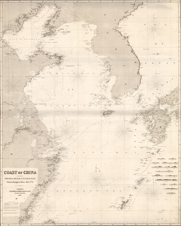
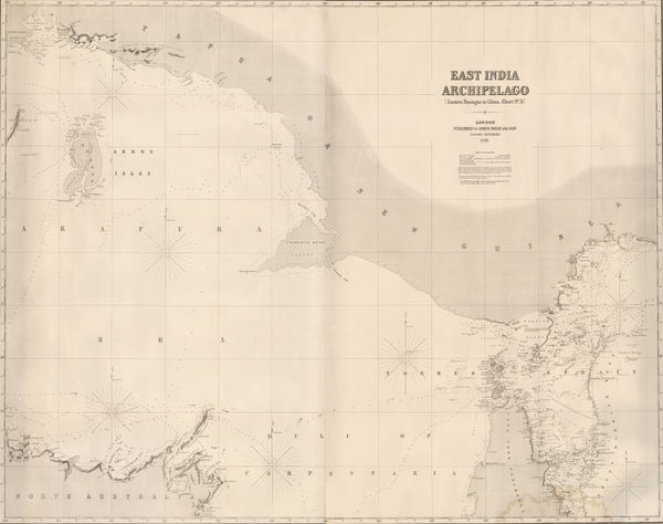
James Imray, East Indian Archipelago. (Eastern passages to China. Chart No. 5), 1863£ 885.00
-
James Imray, East Indian Archipelago. (Eastern Passages to China. Chart No.1), 1863£ 895.00
-
James Imray, East Indian Archipelago. (Eastern Passages to China. Chart No.2), 1863£ 975.00
-
James Imray, Taiwan and the North Pacific, 1863£ 2,200.00
-
James Imray, Coast of Vietnam, China, and Hong Kong, 1863£ 4,950.00
-
James Imray, East Indian Archipelago. (Western Route to China. Chart No.1), 1863£ 1,250.00
-
James Imray, Coasts of Thailand, Cambodia and Vietnam, 1863£ 1,875.00
-
French Admiralty, Sea Chart of the East Coast, 1864£ 985.00
-
Royal Geographical Society (RGS), Chart of the Currents Off the Cape of Good Hope, 1865£ 345.00
-
British Admiralty, Chart of the South East Coast of Arabia, 1865£ 3,500.00
-
British Admiralty, Fuerteventura, 1865£ 325.00
-
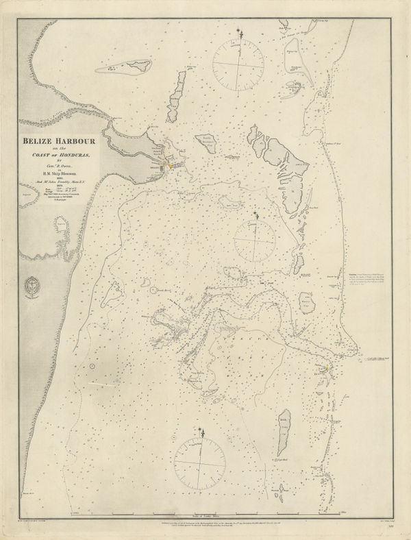
British Admiralty, Coast and Harbour of Belize City, 1866£ 785.00
-
British Admiralty, Chart of the Curves of Equal Magnetic Variation 1858., 1867£ 825.00
-
British Admiralty, Kyles of Bute, 1867£ 225.00
-
Alexander George Findlay, Chart of the North Sea, 1868£ 1,200.00
-
James Imray, Gulf of Mexico, 1868£ 3,500.00
-
French Admiralty, Chart of the Falkland Islands, 1868£ 2,450.00
-
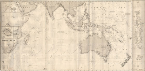
James Imray, Indian Ocean, 1868Reserved
-
James Imray, The Coast of the Cape Colony, 1868£ 2,250.00
-
Spanish Admiralty, Spanish Admiralty chart of the Chesapeake Bay, 1871£ 1,450.00
-
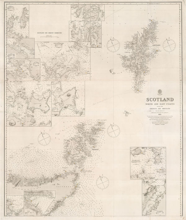
British Admiralty, Orkneys and Shetland Isles, 1872£ 325.00
-
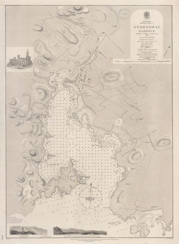
British Admiralty, Stornoway Harbour, 1874£ 150.00
-
Chart of Europe Shewing the Wrecks & Casualties to British Vessels Elsewhere than on the Coast of United Kingdom, 1875Board of Trade Wreck RegisterSeries: LondonBoard of Trade Wreck Register, Chart of Europe Shewing the Wrecks & Casualties to British Vessels Elsewhere than on the Coast of United Kingdom, 1875£ 385.00
-
Board of Trade Wreck Register, Shipwreck Chart of Britain & Ireland, 1875£ 425.00
-
Chart Shewing the Wrecks & Casualties on the Coasts of England & Wales, 1875Board of Trade Wreck RegisterSeries: LondonBoard of Trade Wreck Register, Chart Shewing the Wrecks & Casualties on the Coasts of England & Wales, 1875£ 345.00
-
Board of Trade Wreck Register, Shipwreck Chart of Britain & Ireland, 1875£ 425.00
-
British Admiralty, Isle of Skye, 1878£ 695.00
-
British Admiralty, Kyle Akin Harbour, 1879£ 175.00
-
British Admiralty, Banka and Gaspar Straits, 1881£ 595.00
-
British Admiralty, Bay of Biscay, 1881£ 950.00
-
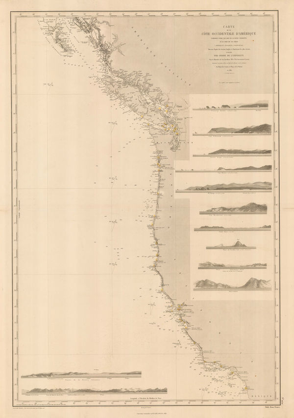
French Admiralty, Chart of the west coast of North America, 1881£ 825.00
-
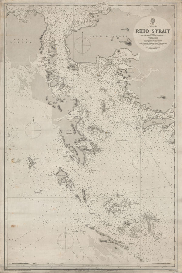
British Admiralty, Riau Islands, Indonesia, 1881£ 595.00
-
-
Richard Holmes Laurie, Chart of the Port of Aden, 1882£ 48.00
-
British Admiralty, Cowes Harbour, 1882£ 1,150.00
-
British Admiralty, Strait of Malacca. From Diamond Pt. to the North Sands, 1882£ 795.00
-
Richard Holmes Laurie, The Arabian Sea, 1882£ 58.00
-
James Imray, The Indian Ocean, 1882£ 52.00
-
James Imray, The Indian Ocean, 1882£ 52.00
-
James Imray, The Indian Ocean, 1882£ 52.00
-
James Imray, The Indian Ocean, 1882£ 52.00
-
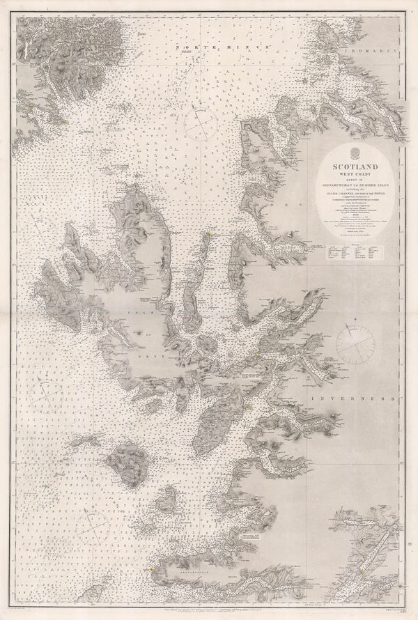
British Admiralty, Western Scotland, 1882£ 885.00
-
Richard Holmes Laurie, Sandakan Bay, 1889£ 52.00
-
British Admiralty, Gulf of Mexico, 1891£ 1,550.00
-
British Admiralty, Sea Chart of the California Coast, 1895£ 750.00
-
British Admiralty, San Francisco Harbour, 1895£ 1,850.00
-
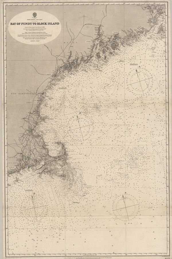
British Admiralty, Bay of Fundy to Block Island, 1896£ 2,150.00
-
British Admiralty, Cape Fear to Sapelo Sound, 1898£ 2,500.00


Page
3
of 5