-
 Description des Costes Marines d'Angleterre, entre Pleymouth & Portlandt, avec les principaulx haures d'icelles, 1590Lucas WaghenaerSeries: AntwerpLucas Waghenaer, Description des Costes Marines d'Angleterre, entre Pleymouth & Portlandt, avec les principaulx haures d'icelles, 1590£ 3,500.00
 -
Herman Moll, A New Chart of the Channell between England and France, 1705 c.£ 625.00
-
Herman Moll, A Chart of the Mediterranean Sea, 1720 c.£ 625.00
-
Mount & Page, A New and Correct Chart of England, Scotland and Ireland, 1740 c.£ 895.00
-
Jacques-Nicolas Bellin, South Atlantic Ocean, 1746£ 395.00
-
Jacques-Nicolas Bellin, Essex, Kent & the Mouth of the Thames, 1764£ 165.00
-
William Faden, Leeward and Windward Islands, 1784£ 3,650.00
-
Robert Sayer, A Chart of the Island of Jersey, 1786£ 1,850.00
-
William Heather, Caribbean Islands from the Virgin Islands to Trinidad and Tobago, 1795£ 1,950.00
-
Laurie & Whittle, Plymouth Sound, Hamoaze & Catwater, 1798£ 595.00
-
William Heather, Chart of the coast of Portugal and Spain, 1800£ 1,550.00
-
William Heather, The Entrances to the River Thames, 1801£ 1,650.00
-
William Heather, Chart of the East Coast of England, 1802£ 950.00
-
William Heather, Sea Chart of the British Isles, 1804£ 1,850.00
-
William Faden, General Chart of the Mediterranean Sea, 1805£ 2,250.00
-
John William Norie, A New Chart of the Coasts of England and Holland, 1824£ 2,250.00
-
W. & A.K. Johnston, Physical Chart of the Indian Ocean, 1848£ 295.00
-
Royal Geographical Society (RGS), Chart of the Currents Off the Cape of Good Hope, 1865£ 345.00
-
Chart of Europe Shewing the Wrecks & Casualties to British Vessels Elsewhere than on the Coast of United Kingdom, 1875Board of Trade Wreck RegisterSeries: LondonBoard of Trade Wreck Register, Chart of Europe Shewing the Wrecks & Casualties to British Vessels Elsewhere than on the Coast of United Kingdom, 1875£ 385.00
-
Board of Trade Wreck Register, Shipwreck Chart of Britain & Ireland, 1875£ 425.00
-
Chart Shewing the Wrecks & Casualties on the Coasts of England & Wales, 1875Board of Trade Wreck RegisterSeries: LondonBoard of Trade Wreck Register, Chart Shewing the Wrecks & Casualties on the Coasts of England & Wales, 1875£ 345.00
-
Board of Trade Wreck Register, Shipwreck Chart of Britain & Ireland, 1875£ 425.00
-
British Admiralty, Isle of Skye, 1878£ 695.00
-
British Admiralty, Cowes Harbour, 1882£ 1,150.00
-
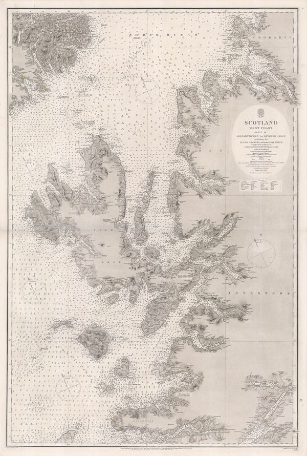
British Admiralty, Western Scotland, 1882£ 885.00
-
Ole Theodor Olsen, North Sea Fishing Grounds, 1883£ 185.00
-
Ole Theodor Olsen, The Piscatorial Atlas - Anchovy, 1883£ 95.00
-
Ole Theodor Olsen, Sole Fishing in the North Sea, 1883£ 95.00
-
-
George Philip & Son Ltd., Mercantile Map of the World, 1925 (c.)£ 1,650.00
-
British Admiralty, Guernsey, Herm and Sark, 1927£ 675.00
-
British Admiralty, Island of Jersey, 1927£ 675.00
-
British Admiralty, Chart of Sardinia on two sheets, 1927£ 1,250.00
-
British Admiralty, The Channel Islands and Adjacent Coasts of France, 1928£ 675.00
-
Edward Stanford, Chart of the Thames Estuary, 1936£ 345.00
-
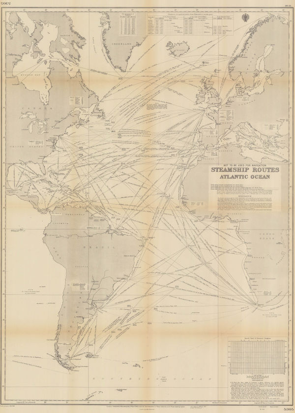
British Admiralty, Steamship Routes Atlantic Ocean, 1951£ 475.00
-
British Admiralty, Steamship Routes Indian Ocean, 1951£ 575.00
-
British Admiralty, Steamship Routes Pacific Ocean, 1951£ 575.00
-
Carrington Birch, P&O Passenger Services Cover Half the World, 1955 c.£ 2,200.00
-
British Admiralty, World Climate Chart - January, 1956£ 275.00
-
British Admiralty, World Climate Chart - July, 1956£ 275.00
-
Sifton Praed & Co., Fisherman's Map of Salmon Pools on the River Dee, 1975 c.£ 95.00
-
Spanish Admiralty, Chart of Ibiza and Formentera, 1976£ 2,500.00
Close
Search Inventory
Our entire inventory of over 10,000 antique and vintage maps is now available to browse by region, date, cartographer, and subject


Join our mailing list
* denotes required fields
We will process the personal data you have supplied to communicate with you in accordance with our Privacy Policy. You can unsubscribe or change your preferences at any time by clicking the link in our emails.
![]()
Join our mailing list
* denotes required fields
We will process the personal data you have supplied to communicate with you in accordance with our Privacy Policy. You can unsubscribe or change your preferences at any time by clicking the link in our emails.