-
 Robert Wilkinson, Ancient Empires, 1842£ 115.00
 -
-
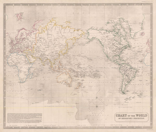
W. & A.K. Johnston, Chart of the World on Mercator's Projection, 1844£ 575.00
-
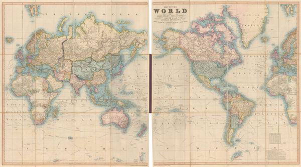
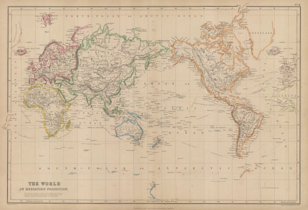
James Gilbert, Map of the World on Mercator's Projection, 1844£ 4,850.00
-
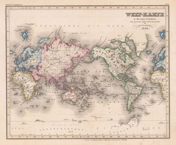
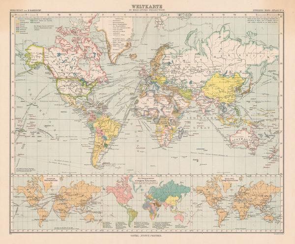
Joseph Meyer, Welt-Karte in Mercators Projektion, 1844£ 275.00
-
A Map of the Principal Rivers shewing their Courses, Countries, and Comparative Lengths, 1844Society for the Diffusion of Useful Knowledge (SDUK)Series: LondonSociety for the Diffusion of Useful Knowledge (SDUK), A Map of the Principal Rivers shewing their Courses, Countries, and Comparative Lengths, 1844£ 195.00
-
Ashford & Loader, The Heights of the Mountains of the Eastern Hemisphere, 1845£ 975.00
-
Humphrey Phelps, Pictorial View of the World, 1846£ 1,950.00
-
James Reynolds, Waterfalls, 1846 c.£ 545.00
-
Victor Levasseur, Planisphere, 1847£ 650.00
-
The World, the World on a Polar Projection & recent Antarctic Discoveries, 1847 (c.)Samuel Augustus MitchellSeries: PhiladelphiaSamuel Augustus Mitchell, The World, the World on a Polar Projection & recent Antarctic Discoveries, 1847 (c.)£ 175.00
-
W. & A.K. Johnston, Zoological Geography - Ruminants & Rodents, 1848£ 595.00
-
W. & A.K. Johnston, Zoological Geography - Monkeys, Marsupials & Pachyderms, 1848£ 595.00
-
W. & A.K. Johnston, Zoological Geography - Carnivores, 1848£ 595.00
-
W. & A.K. Johnston, Zoological Geography - Birds, 1848£ 595.00
-
W. & A.K. Johnston, Botanical Geography - Food Crops & Edible Plants, 1848£ 495.00
-
W. & A.K. Johnston, Geological Phenomena, 1848£ 395.00
-
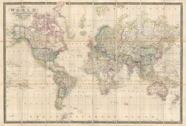
Richard Holmes Laurie, The World on Mercator's Projection, 1850£ 2,750.00
-
James Reynolds, Geological Map of the World, 1850 c£ 545.00
-
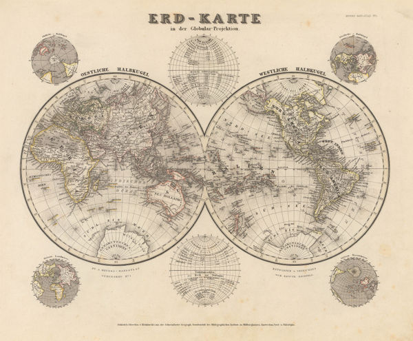
Joseph Meyer, Erd-Karte, 1850 c.£ 185.00
-
John Dower, The World, 1850 c.£ 275.00
-
John Tallis, Overland Route to India, 1851£ 425.00
-
John Tallis, Western and Eastern Hemisphere, 1851£ 1,150.00
-
James Reynolds, Phenomena of Volcanoes and Earthquakes, 1852£ 495.00
-
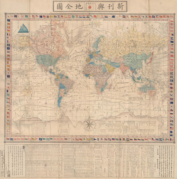
Abe Yasuyuki, Japanese Map of the World, 1853£ 845.00
-
-
W. & A.K. Johnston, Geological Map of the World, 1855£ 750.00
-
W. & A.K. Johnston, The Crop Distribution of the World, 1855£ 375.00
-
W. & A.K. Johnston, Commercial Chart of the World, 1855£ 4,500.00
-
Blackie & Son, The World on Mercator's Projection, 1855 c.£ 325.00
-
Edward Quin, A.D. 1660. At the Restoration of the Stuarts, 1856£ 385.00
-
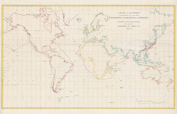
Matthew Perry, Chart of the World, 1856£ 950.00
-
Edward Quin, A.D. 476. The Dissolution of the Western Empire, 1856 c.£ 125.00
-
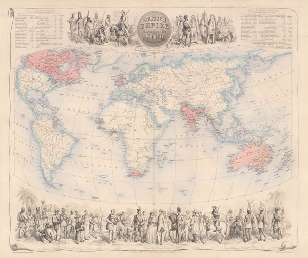
British Empire Throughout the World Exhibited in One View, 1860 c.Archibald FullartonSeries: Edinburgh, London & DublinArchibald Fullarton, British Empire Throughout the World Exhibited in One View, 1860 c.£ 2,250.00
-
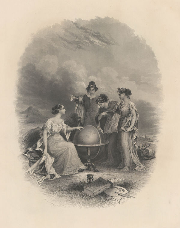
Frontispiece: Colton's General Atlas Of The World, Containing Two Hundred And Twelve Maps And Plans, 1860 c.George Woolworth ColtonSeries: PhiladelphiaGeorge Woolworth Colton, Frontispiece: Colton's General Atlas Of The World, Containing Two Hundred And Twelve Maps And Plans, 1860 c.£ 95.00
-
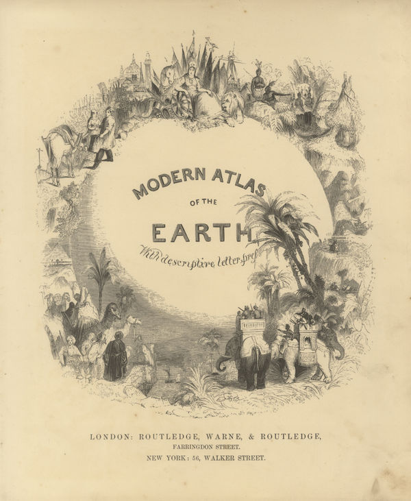
Routledge, Modern Atlas of the Earth, 1860 c.£ 48.00
-
-
-
J. & C. Walker, The Early Caliphates, 1862£ 275.00
-
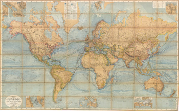
George W. Bacon, The World, 1866 c£ 1,500.00
-
British Admiralty, Chart of the Curves of Equal Magnetic Variation 1858., 1867£ 825.00
-
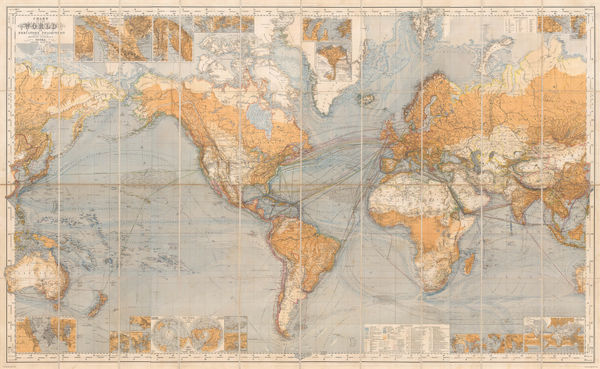
Justus Perthes, Chart of the World on Mercator's Projection, 1867 c.£ 2,250.00
-
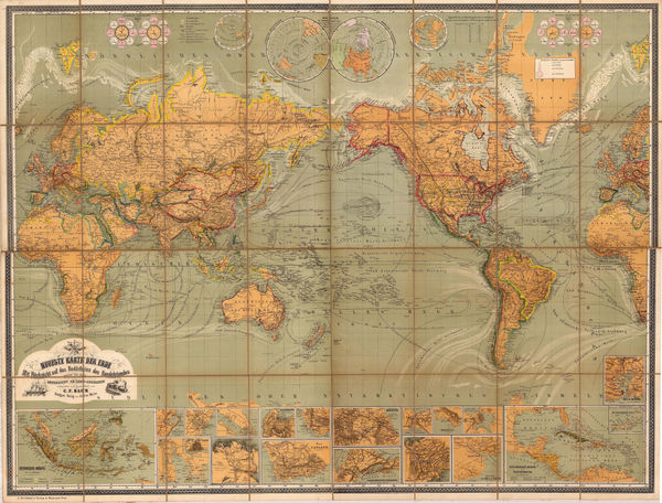
Julius Maier, Neueste Karte der Erde, 1870 c.£ 2,650.00
-
Justus Perthes, Chart of the World on Mercators Projection, 1871£ 3,250.00
-
Jules Marcou, Geological Map of the World, 1875£ 4,250.00
-
Victor Clerot, Mappemonde Orographique et Hydrographique, 1875 c.£ 4,500.00
-
Eugène Andriveau-Goujon, Planisphere, 1878£ 1,450.00
-
Justus Perthes, Bubonic Plague Outbreaks from 1346 to 1879, 1879£ 325.00
-
-
A. & C. Black, The World on Mercator's Projection, 1880 c£ 395.00
-
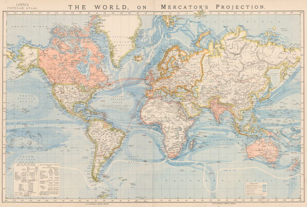
Letts & Son, The World on Mercator's Projection, 1882£ 375.00
-
James Wyld, The World on Mercator's Projection, 1882 c.£ 1,950.00
-
A. Simon, Planisphere, 1885£ 125.00
-
The World showing the British Possessions and Chief Ports, 1885Illustrated London News (ILN)Series: LondonIllustrated London News (ILN), The World showing the British Possessions and Chief Ports, 1885£ 595.00
-
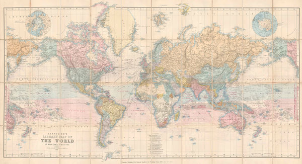
Edward Stanford, The World in Hemispheres, 1885£ 245.00
-
-
Royal Geographical Society (RGS), Map of the World on Mercator's Projection, 1886£ 235.00
-
W. & A.K. Johnston, The World in Hemispheres, 1889£ 195.00
-
The Geographical Value of The Best Maps of All Countries of The World, 1890Scottish Geographical Society (SGS)Series: EdinburghScottish Geographical Society (SGS), The Geographical Value of The Best Maps of All Countries of The World, 1890£ 425.00
-
F.A. Brockhaus, Railway Development in the World, 1890£ 125.00
-
Scottish Geographical Society (SGS), Evolution of the Continents, 1890£ 245.00
-
George Philip & Son Ltd., The British Empire, 1890 c.£ 375.00
-
Justus Perthes, Annual Temperatures of the World's Oceans, 1893£ 145.00
-
George W. Bacon, The World on Mercator's Projection, 1895£ 225.00
-
Justus Perthes, Surface Temperature of the Seas and Oceans, 1898£ 285.00
-
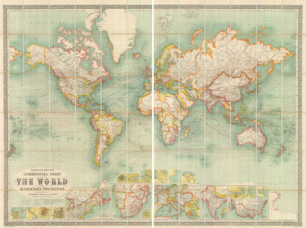
Commercial Chart of the World on Mercator's Projection., 1900 cGeorge Philip & Son Ltd.Series: LondonGeorge Philip & Son Ltd., Commercial Chart of the World on Mercator's Projection., 1900 c£ 4,500.00
-
Rand, McNally & Co., Rand McNally & Co's Map of the World, 1901£ 985.00
-
Edward Stanford, A Chart of the World on Mercator's Projection, 1903£ 1,450.00
-
Royal Geographical Society (RGS), Earthquake Districts of the World, 1903£ 165.00
-
Emil Reich, The British Empire about 1800, 1903£ 70.00
-
Emil Reich, English Voyages of Discovery during the Tudor Period, 1903£ 68.00
-
Emil Reich, The Seven Years' War in Europe and America, 1903£ 65.00
-
J.G. Bartholomew, Rubber Growing Countries, 1906£ 125.00
-
J.G. Bartholomew, States and British Representation, 1906£ 345.00
-
W. & A.K. Johnston, The World on Mercator's Projection, 1906 (c.)£ 2,200.00
-
George W. Bacon, New Chart of the World, 1907 c.£ 2,950.00
-
Justus Perthes, The World on Mercator's Projection, 1909£ 175.00
-
George Morrell, Manuscript Caricature map of the World in Anguish, 1910 c.£ 2,450.00
-
George W. Bacon, Bacon's Chart of Useful Knowledge, 1910 c.£ 3,600.00
-
Enciclopedia Segui, Climate Zones & Ocean Currents, 1910 c.£ 85.00


Page
3
of 4