Mapping the Tube: 1863-2024

The London Underground map: evolution of a design icon
We are pleased to announce that the exhibition has been extended until the 14th December 2024 due to popular demand!
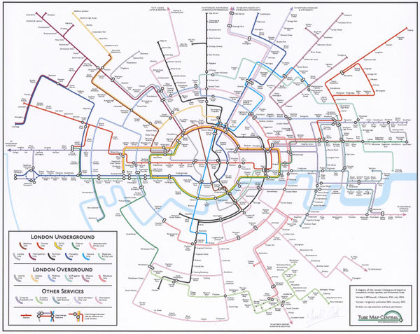
The Map House presents the new exhibition Mapping the Tube: 1863-2024 exploring the evolution of London’s Tube system and the iconic London Underground map over 161 years. The exhibition offers a rare opportunity to see and purchase hand-drawn and annotated manuscripts by Harry Beck on the 50th anniversary of his death. Beck's 1933 pocket map influenced the design of transport maps worldwide, and is an instantly recognisable design icon.
The exhibition will include the most significant collection of Beck manuscripts ever offered for sale, some gifted by Beck to his friend and biographer Ken Garland. Highlights include: a one-of-a-kind draft copy of Harry Beck’s first Underground map, annotated by Beck and his predecessor Fred Stingemore, which highlights some of the tricky design questions he had to overcome, such as whether to use the official name of 'Willesden Junction (New Station)' or stick with a simplified 'Willesden Junction'; the resulting exceedingly rare 1st Edition Underground poster map (1933), of which only 5 copies of the original 2,000 are known; and a unique, unfinished sketch from 1950 drawn in coloured pencil showing a proposed new layout for the District Line branch to Richmond.
The exhibition is free and will be open to the public during The Map House's regular opening hours:
Monday to Friday - 10:30am to 6pm
Saturday - 10:30am to 5pm
Follow us on instagram @themaphouse for exhibition updates.
-

-
The Map House - Edward Stanford, A New Map of Metropolitan Railways Sanctioned in 1864, 1864£ 875.00
-
-
W.J. Adams & SonsThe "District Railway" Map of London - Jubilee Edition, 188725 ½ x 41 ½ in
65 x 106 cmThe Map House - W.J. Adams & Sons, The "District Railway" Map of London - Jubilee Edition, 1887£ 1,050 (framed) -
Sampson Low, Marston & CompanyThe "District Railway" Map of London - 6th Edition, 189825 ½ x 41 ½ in
65 x 105 cmThe Map House - Sampson Low, Marston & Company, The "District Railway" Map of London - 6th Edition, 1898£ 700.00 -
Sampson Low, Marston & CompanyThe "District Map" of Greater London and Environs - 1st Edition, 190225 ½ x 41 ½ in
65 x 105 cmThe Map House - Sampson Low, Marston & Company, The "District Map" of Greater London and Environs - 1st Edition, 1902£ 400.00 -
Underground Electric Railways Company of London (UERL)The Underground Electric Railways of London, 190432 ½ x 48 ½ in
83 x 123 cmThe Map House - Underground Electric Railways Company of London (UERL), The Underground Electric Railways of London, 1904£ 2,800 (framed) -
-
Railway Clearing HouseOfficial Railway Map of London and its Environs, 190741 x 52 ½ in
104 x 133 cmThe Map House - Railway Clearing House, Official Railway Map of London and its Environs, 1907£ 550.00 -
-
-
-
-
-
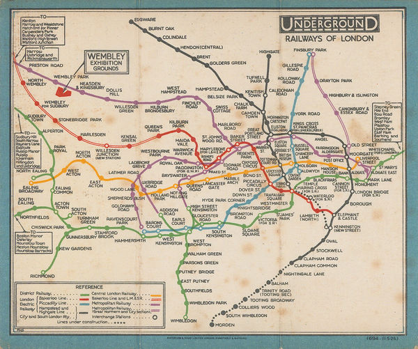
The Map House - London Underground, London Underground Railways, 1912£ 950 (framed)
-
-
-
London UndergroundUnderground Map of London with some Motor Bus Extensions, 191611 ½ x 17 ½ in
29 x 44 cmThe Map House - London Underground, Underground Map of London with some Motor Bus Extensions, 1916£ 625 (framed) -
-
-
-
The Map House - Kennedy North, British Empire Exhibition 1924, 1923£ 650.00
-
-
-
The Map House - Macdonald Gill, The Wonderground Map of London, 1924 c.£ 4,800 (framed)
-
-
-
-
The Map House - Fred H. Stingemore, Map of London's Underground Railways, 1927£ 795.00
-
-
-
-
-
-
-
-
The Map House - Fred H. Stingemore, Map of London's Underground Railways, 1929£ 795.00
-
-
-
-
-
The Map House - Edward Stanford, Hyde Park Corner Tube Station and 1/4 Miles Around, 1932£ 1,250.00
-
-
-
-
-
-
-
-
Heather 'Herry' PerryRugby - Rugby League Cup Final Underground Poster, 193310 x 12 ½ in
25 x 32 cmThe Map House - Heather 'Herry' Perry, Rugby - Rugby League Cup Final Underground Poster, 1933£ 3,500 (framed) -
-
-
-
The Map House - Anna Katrina Zinkeisen, Football - FA Cup Final Poster, 1934£ 5,000 inc. VAT (framed)
-
-
The Map House - Clifford & Rosemary Ellis, Christmas Shopping by Underground Poster, 1935£ 4,000.00
-
-
-
The Map House - Imperial Airways, Map of the Empire and European Air Routes, 1936£ 3,000 (framed)
-
The Map House - Harry Beck, London Underground Map, 1937£ 550 (framed)
-
-
The Map House - London Transport, Underground Railway Map, 1937£ 450.00
-
-
-
-
The Map House - London Underground, Bakerloo Line Extension, 1939£ 225.00
-
-
-
-
-
-
-
-
-
-
-
-
-
-
-
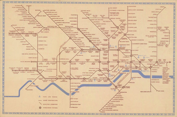
The Map House - Harry Beck, London Underground Map, 1950£ 400 (framed)
-
-
The Map House - Harry Beck, London Underground Map, 1951£ 400 (framed)
-
The Map House - Harry Beck, London Underground Map, 1953£ 400 (framed)
-
-
-
-
-
-
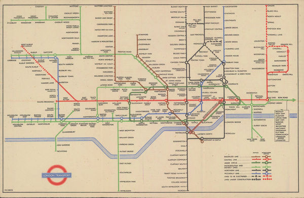
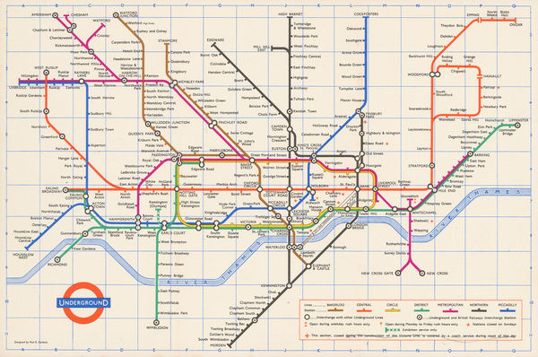
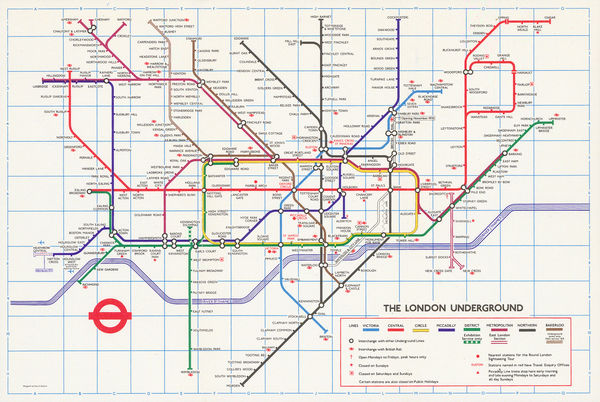
The Map House - Harry Beck, London Underground Map, 1958£ 350 (framed)
-
-
-
The Map House - Harry Beck, Harry Beck's Final Tube Map, 1960£ 350 (framed)
-
-
-
-
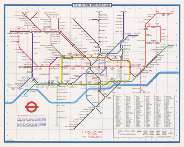
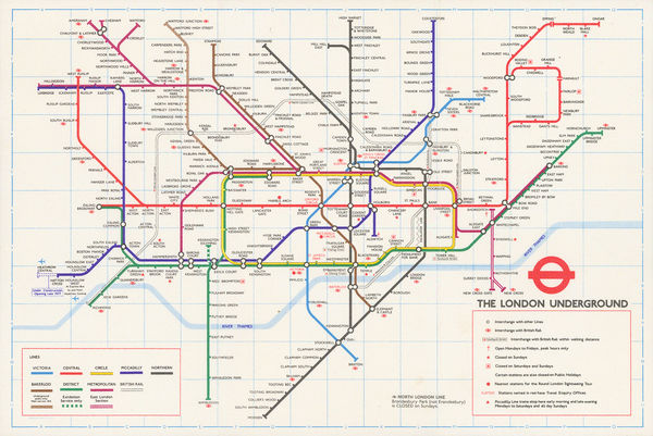
The Map House - Harold Hutchison, Hutchison's Final Tube Map, 1963£ 300 (framed)
-
The Map House - London Transport, Visitor's London Quad Royal Tube Map, 1963£ 1,850.00
-
-
-
-
-
The Map House - London Transport, Visitor's London, 1966£ 350 (framed)
-
-
-
-
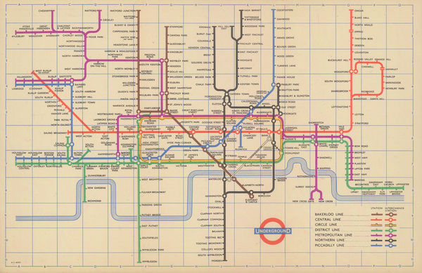
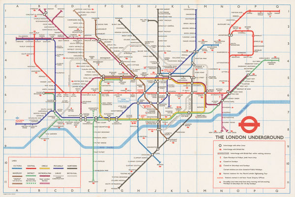
The Map House - Paul E. Garbutt, London Underground, 1969£ 275 (framed)
-
-
-
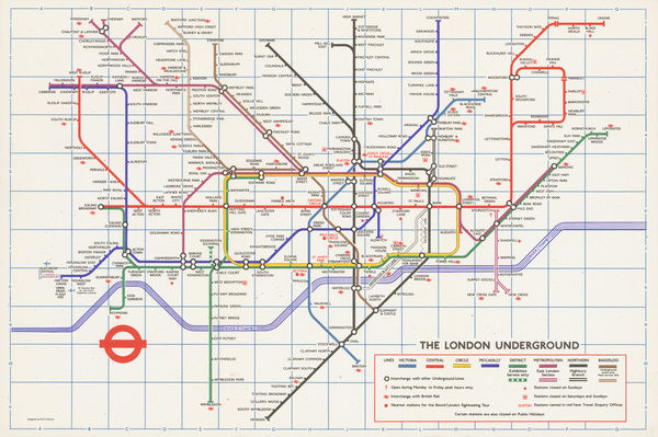
The Map House - Paul E. Garbutt, London Underground Map, 1972£ 250.00
-
-
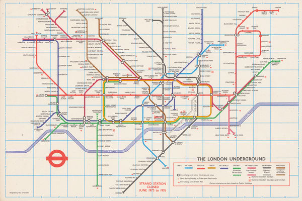
The Map House - Paul E. Garbutt, Quad Royal Poster, 1973£ 2,500 (framed)
-
-
-
-
-
-
-
-
The Map House - London Transport, London - Notting Hill Gate Platform Roundel, 1980 c.£ 650.00
-
-
-
-
-
-
-
-
-
-
-
-
-
-
-
-
-
-
-
-
-
-
-
-
-
-
-
-
-
-
The Map House - London Underground, London Underground Map, 2011£ 35.00
-
The Map House - London Underground, London Underground Map, 2012£ 35.00
-
-
The Map House - London Underground, London Underground Map, 2014£ 35.00
-
The Map House - London Underground, 2015£ 35.00
-
-
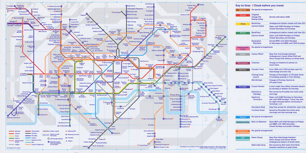
The Map House - London Transport, Night Tube, 2017£ 85 (framed)
-
The Map House - London Underground, London Underground Map, 2017£ 35.00
-
The Map House - London Underground, London Underground Map, 2018£ 35.00
-
The Map House - London Underground, London Underground Map, 2019£ 35.00
-
The Map House - London Underground, London Underground Map, 2020£ 35.00
-
The Map House - London Underground, London Underground Map, 2021£ 35.00
-
-
-