George W. Bacon
33 x 44 cm
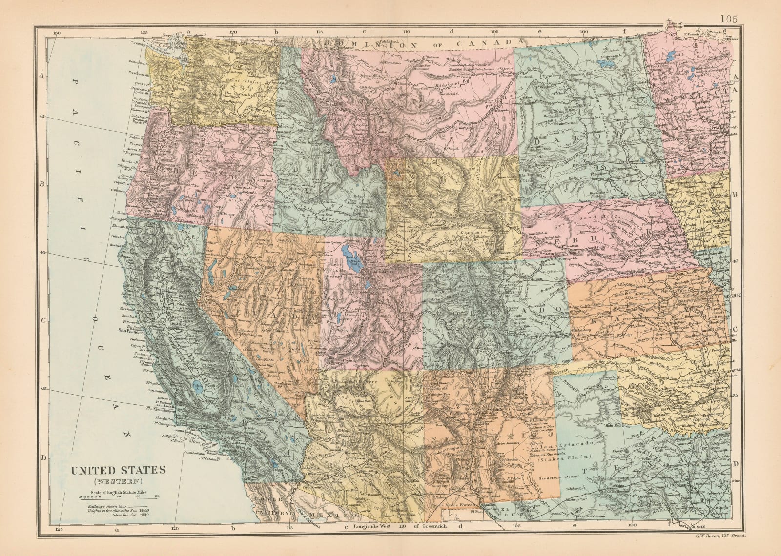
This is the western division of the United States in the later stages of westward expansion.
On a rough diagonal line, the map shows northwestern Texas on the lower right to Washington State on the upper left. Arizona and Wyoming are still Territories while Oklahoma does not exist. Dakota is still one state. Yellowstone is separated from Wyoming by a different colour. Original colour. [USA9844]


